MyTopo
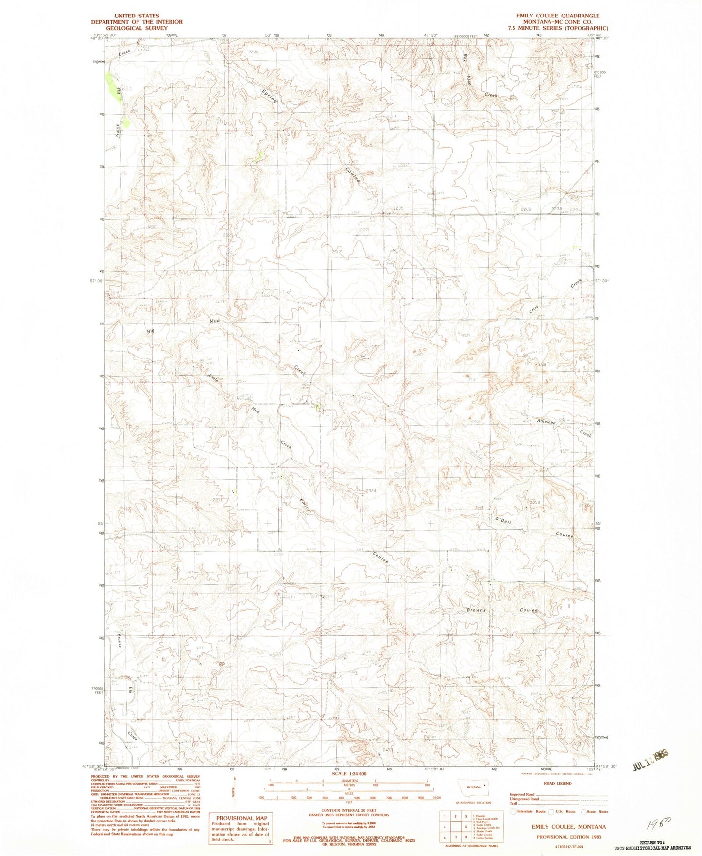
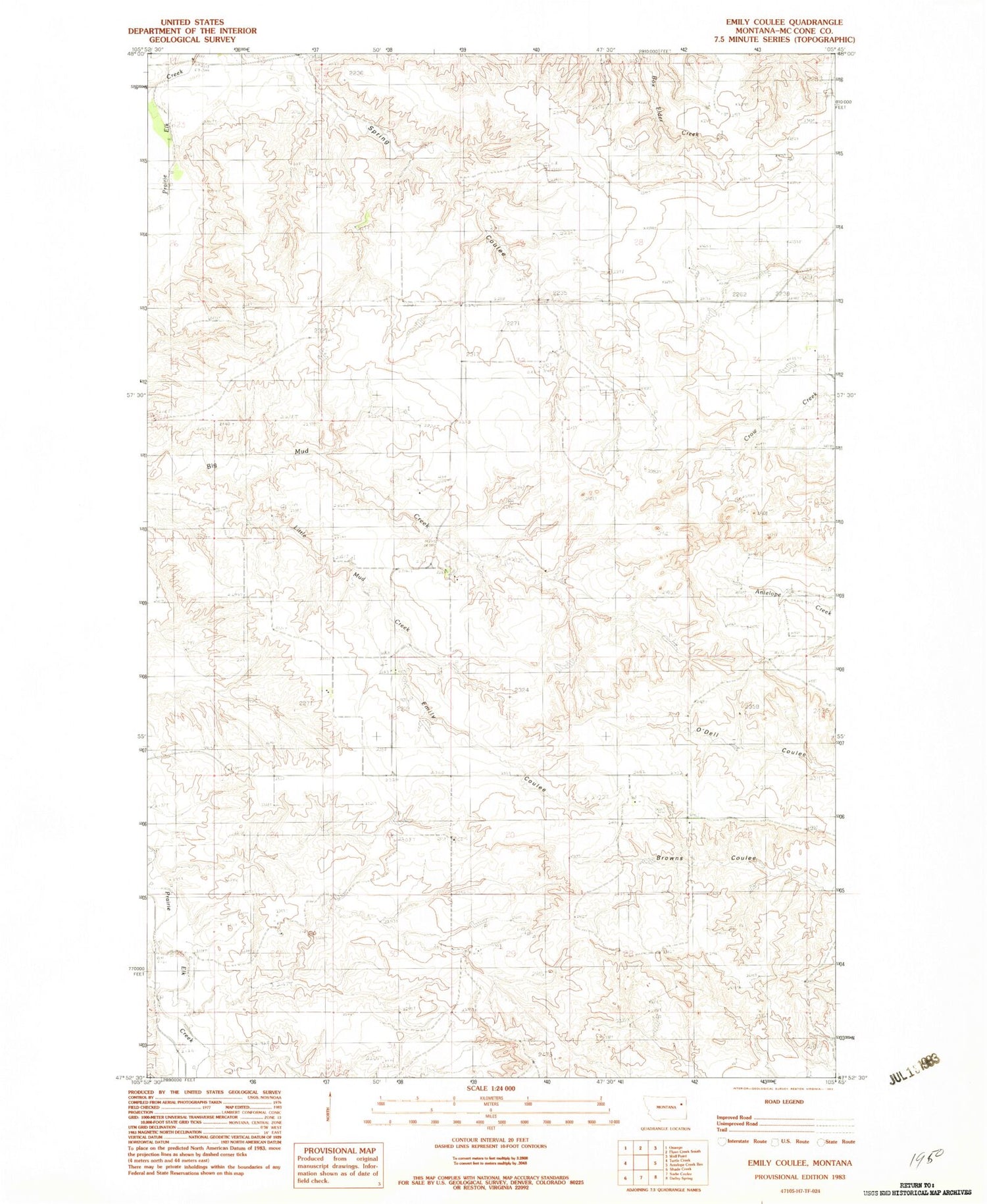
Classic USGS Emily Coulee Montana 7.5'x7.5' Topo Map
Regular price
$16.95
Regular price
Sale price
$16.95
Unit price
per
Couldn't load pickup availability
Historical USGS topographic quad map of Emily Coulee in the state of Montana. Map scale may vary for some years, but is generally around 1:24,000. Print size is approximately 24" x 27"
This quadrangle is in the following counties: McCone.
The map contains contour lines, roads, rivers, towns, and lakes. Printed on high-quality waterproof paper with UV fade-resistant inks, and shipped rolled.
Contains the following named places: 25N45E13ADAB01 Well, 25N46E21AD__01 Well, 25N46E29CBAA01 Well, 25N46E31BDDB01 Well, 26N46E21CC__01 Well, Emily Coulee, Little Mud Creek, Martin Number 1 Dam, Prairie Elk Cemetery, Prairie Elk Lutheran Church, Westgard Dam