MyTopo
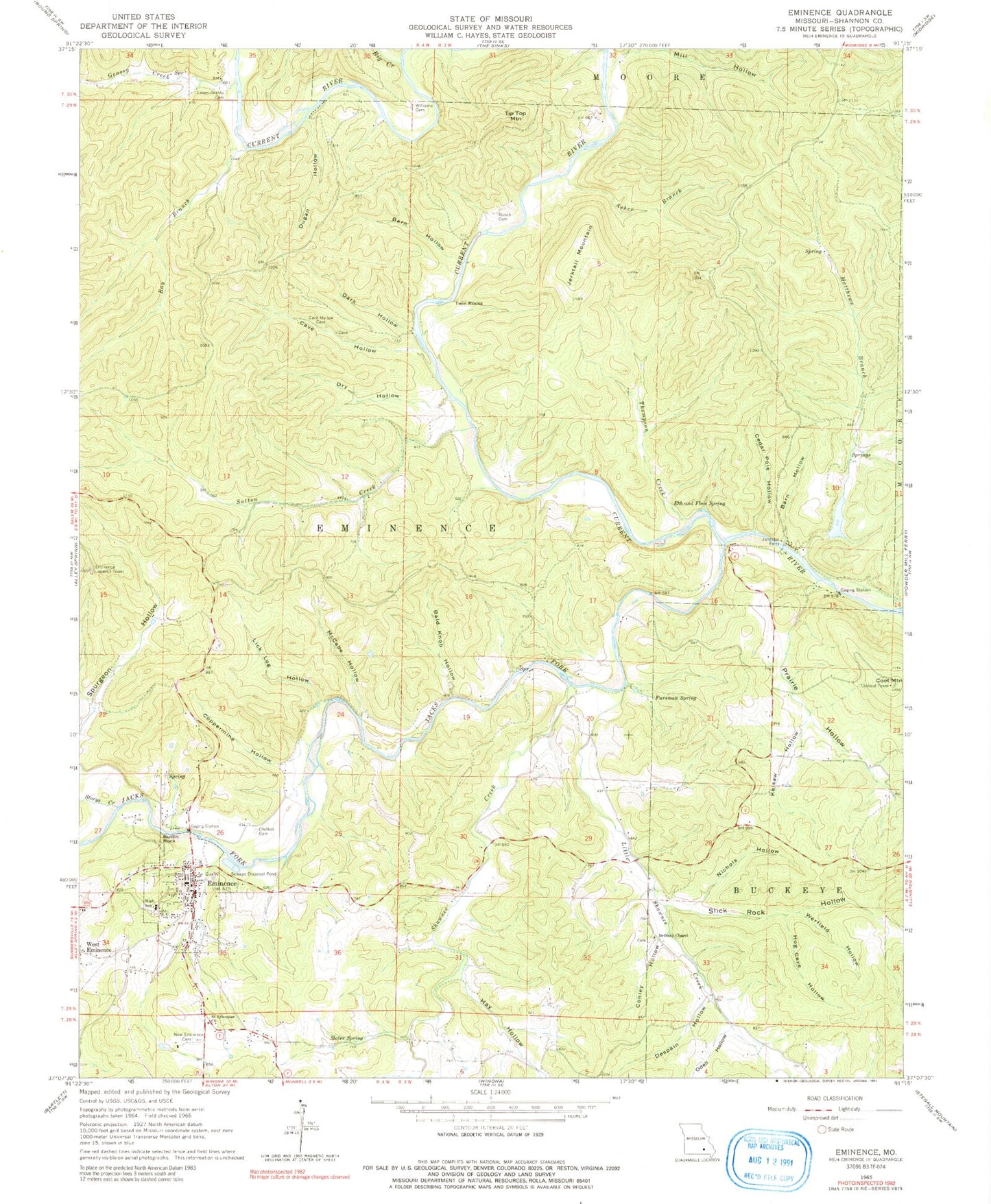
Classic USGS Eminence Missouri 7.5'x7.5' Topo Map
Couldn't load pickup availability
Historical USGS topographic quad map of Eminence in the state of Missouri. Typical map scale is 1:24,000, but may vary for certain years, if available. Print size: 24" x 27"
This quadrangle is in the following counties: Shannon.
The map contains contour lines, roads, rivers, towns, and lakes. Printed on high-quality waterproof paper with UV fade-resistant inks, and shipped rolled.
Contains the following named places: Asher Branch, Bald Knob Hollow, Barn Hollow, Barn Hollow, Bay Branch, Bethany Chapel, Bunch Cemetery, Buttin Rock, Cave Hollow, Cedar Pole Hollow, Chilton Cemetery, Conley Hollow, Coot Mountain, Coppermine Hollow, Dark Hollow, Dry Hollow, Dugan Hollow, Ebb and Flow Spring, Eminence, Fursman Spring, Grassy Creek, Hog Cave Hollow, Jerktail Mountain, Kelsaw Hollow, Lick Log Hollow, Lower Grassy Cemetery, Matthews Branch, McCabe Hollow, Mill Hollow, New Eminence Cemetery, Nichols Hollow, Prairie Hollow, Saint Sylvester Church, Slater Spring, Slick Rock Hollow, Storys Creek, Sutton Creek, Thompson Creek, Tip Top Mountain, Twin Rocks, Werfield Hollow, West Eminence, Williams Cemetery, Jacks Fork, Missouri Department of Conservation District Forester Office, Shawnee Creek Campsite, Two Rivers River Access, Coot Chute, Bee Bluff, Junction Ferry, De Weese School, Sutton Creek School, Prairie Hollow School, Little Shawnee School (historical), Big Creek, Despain Hollow, Hay Hollow, Jacks Fork, Little Shawnee Creek, Odell Hollow, Shawnee Creek, Eminence Lookout Tower, Jerktail Landing, Bee Bluff School (historical), Colwil Dam, Colwil Lake, Township of Buckeye (historical), Township of Eminence, City of Eminence, Eminence Rural Fire Department, Missouri Department of Conservation Forestry Ozark Regional Field Fire Facility Office Eminence, Shannon County Sheriff's Office, Eminence Post Office


