
MyTopo
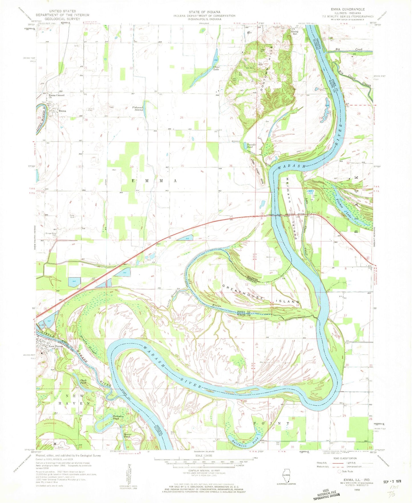
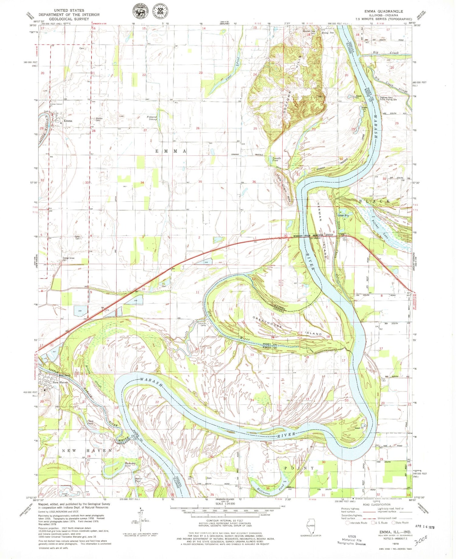
Classic USGS Emma Illinois 7.5'x7.5' Topo Map
Couldn't load pickup availability
Historical USGS topographic quad map of Emma in the states of Illinois, Indiana. Map scale may vary for some years, but is generally around 1:24,000. Print size is approximately 24" x 27"
This quadrangle is in the following counties: Gallatin, Posey, White.
The map contains contour lines, roads, rivers, towns, and lakes. Printed on high-quality waterproof paper with UV fade-resistant inks, and shipped rolled.
Contains the following named places: Abshire Cemetery, Big Creek, Big Creek Slough, Brushy Slough, Clark Pond, Clear Pond, Dogtown Ferry Public Fishing Site, Dogtown Hills, Elm Grove, Emma, Emma Concord Church, Epley Cemetery, Fishpond Swamp, Granny Tweedle Levee, Greathouse Island, Halfmoon Pond, Hermann Island, Horseshoe Pond, Little Chain Cutoff, Little Chain Hills, Little Wabash River, Marshall Ferry Cemetery, Old River, Old River Camp, Orange Grove Cemetery, Pitcher Lake, Sandy Slough, Township of Emma, Tweedle Pond, Wabash River Memorial Bridge, ZIP Code: 62867