MyTopo
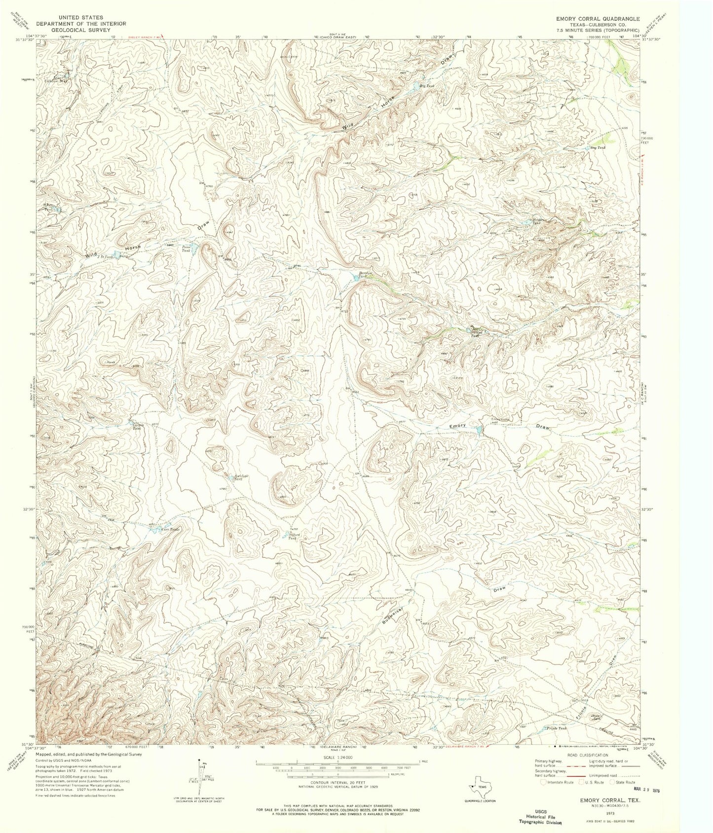
Classic USGS Emory Corral Texas 7.5'x7.5' Topo Map
Regular price
$16.95
Regular price
Sale price
$16.95
Unit price
per
Couldn't load pickup availability
Historical USGS topographic quad map of Emory Corral in the state of Texas. Map scale may vary for some years, but is generally around 1:24,000. Print size is approximately 24" x 27"
This quadrangle is in the following counties: Culberson.
The map contains contour lines, roads, rivers, towns, and lakes. Printed on high-quality waterproof paper with UV fade-resistant inks, and shipped rolled.
Contains the following named places: Antelope Tank, Barstow Tank, Big Tank, Broke Tank, Cargile Tank, Carr Tanks, Dog Tank, Emory Corral, Emory Draw, Frijole Tank, JD Tank, Lower Calhoun Tank, Pecos Tank, Sifford Tank, Stevens Tank, White Tank