MyTopo
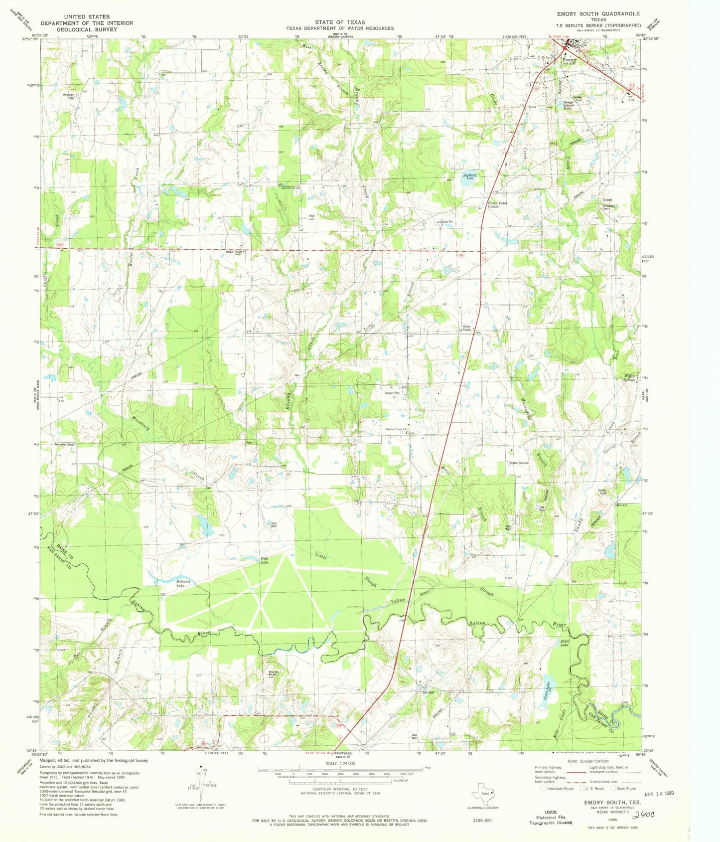
Classic USGS Emory South Texas 7.5'x7.5' Topo Map
Couldn't load pickup availability
Historical USGS topographic quad map of Emory South in the state of Texas. Map scale may vary for some years, but is generally around 1:24,000. Print size is approximately 24" x 27"
This quadrangle is in the following counties: Rains, Van Zandt.
The map contains contour lines, roads, rivers, towns, and lakes. Printed on high-quality waterproof paper with UV fade-resistant inks, and shipped rolled.
Contains the following named places: A C McMilllan African American Museum, Allread Creek, Bear Creek, Bee Branch, Brushy Creek, Campbell Cemetery, Clewis Cemetery, Danley Cemetery, Ditch Lake, Dunbar, Dunbar Union Church, Emory, Fish Lake, Glade Creek, Henderson County Clint W Murchison Memorial Library, Highland Lake, Holcomb Lake, Holcomb Slough, Lake Church, Little Slough, Long Branch, Martin Bluff, Mill Creek, Muscadine Branch, Ocean Lake, Rains County, Reeder Creek, Rockey Point Center, Rocky Point Cemetery, Rocky Point Center, Sandy Creek, Shuffle Creek, Smyrna, Smyrna Church Cemetery, Spring Branch, Stewart Branch, Trumble Cemetery, West Brushy Branch, Willow Springs, Woodbury Creek, Woosley Cemetery, Yellow Steer Slough


