MyTopo
Classic USGS Emory South Carolina 7.5'x7.5' Topo Map
Couldn't load pickup availability
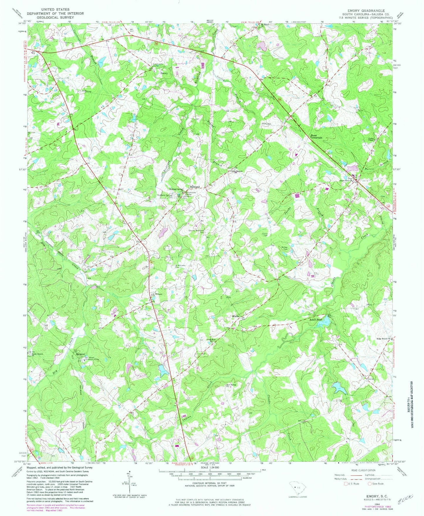
Historical USGS topographic quad map of Emory in the state of South Carolina. Map scale may vary for some years, but is generally around 1:24,000. Print size is approximately 24" x 27"
This quadrangle is in the following counties: Saluda.
The map contains contour lines, roads, rivers, towns, and lakes. Printed on high-quality waterproof paper with UV fade-resistant inks, and shipped rolled.
Contains the following named places: Amick Grove Church, Amicks Pond, Amicks Pond Dam D-1599, Asbill Pond, Berrys Pond, Berrys Pond Dam D-1598, Blacks, Cane Brake School, Carver Cemetery, Clydes Chapel, Corley Branch, County Memorial Cemetery, Emory, Emory Cemetery, Emory School, Emory United Methodist Church, Fair Haven Childrens Home, Good Hope Cemetery, Good Hope Lutheran Church, Good Hope School, Harris Cemetery, Hart Spring Church, Hart Springs School, Herlongs Pond, Herlongs Pond Dam D-1597, Indian Creek, Jacobs Branch, Johnsons Cemetery, Jones Crossroads, McGee Cemetery, Mobleys Crossroads, Mount Moses Church, Mount Willing School, Pine Grove School, Poplar Branch, Poplar Branch Church, Poplar Branch School, Ready Creek School, Reedy Branch Church, Richland, Richland School, Richland Springs Cemetery, Richland Springs Church, Richland Springs Community House, Ridge Branch Church, Ridge Branch Rosenwald School, Ridge Spring Division, Saint Williams Cemetery, Saint Williams Church, South Carolina Highway Patrol Troop 2 Post C, South Carolina Noname 41003 D-1607 Dam, South Carolina Noname 41005 D-1197 Dam, South Carolina Noname 41007 D-1194 Dam, Speigner, Speigner Church, Sumter School, Traus, Willow Branch School, ZIP Code: 29166


