MyTopo
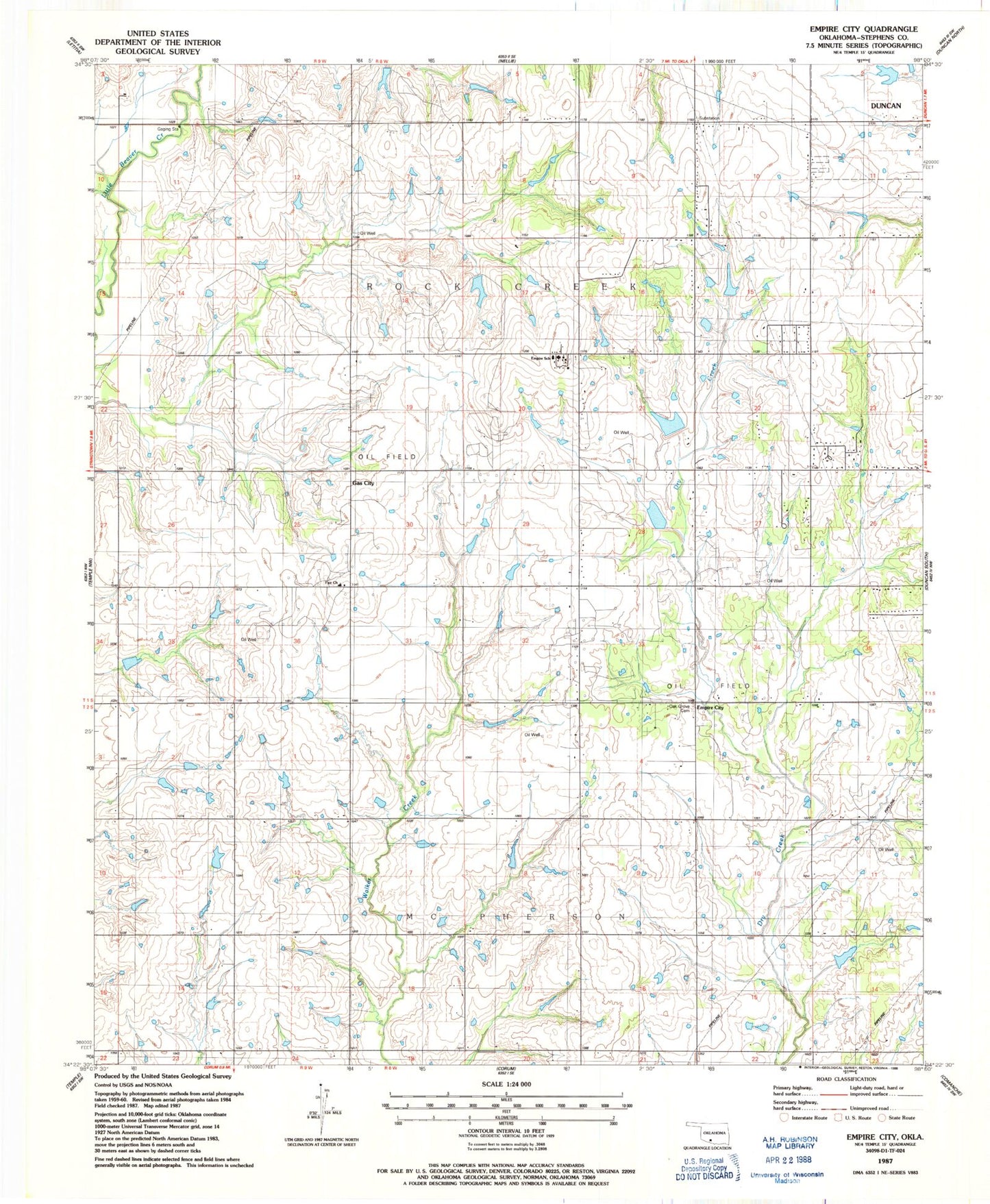
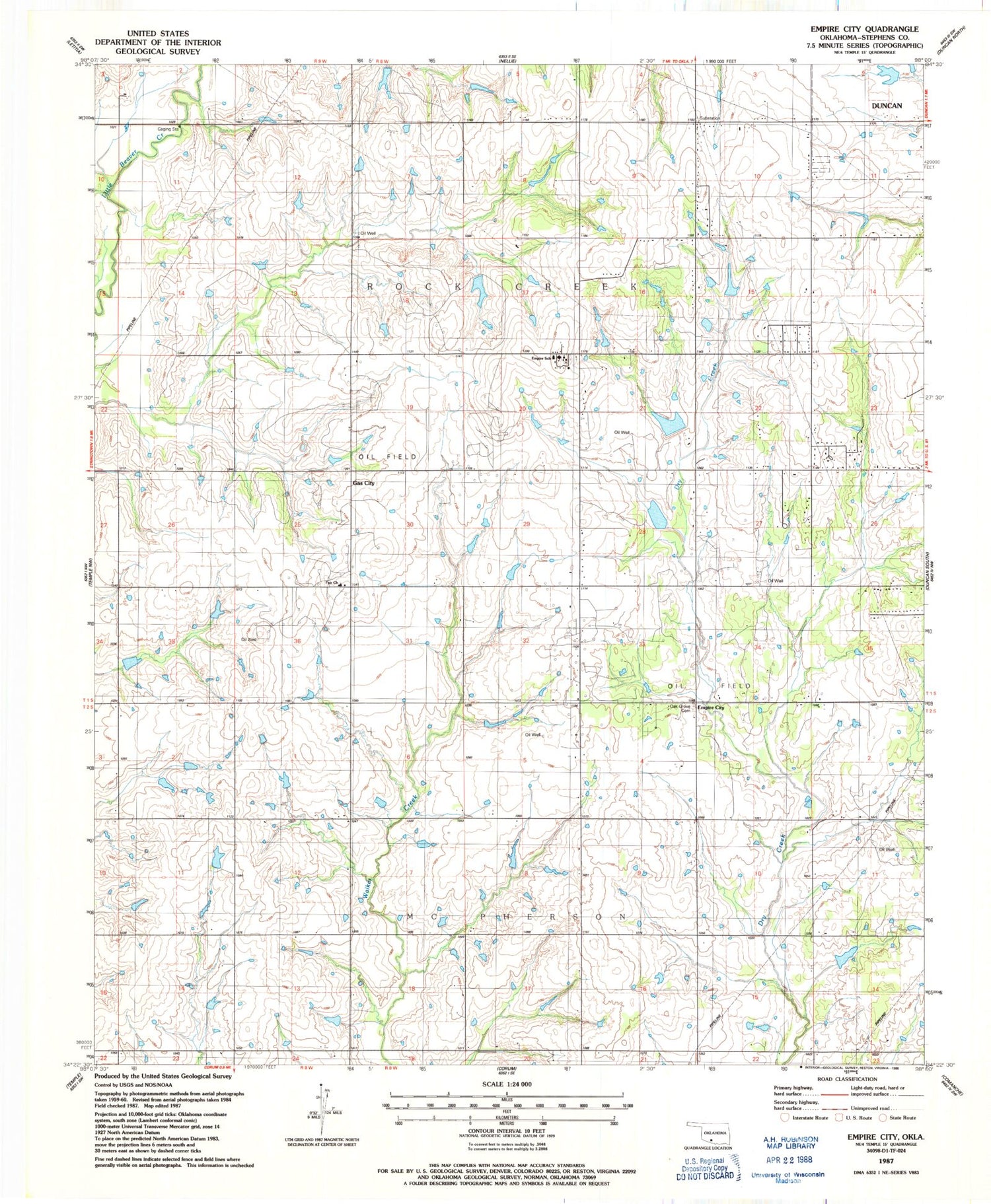
Classic USGS Empire City Oklahoma 7.5'x7.5' Topo Map
Couldn't load pickup availability
Historical USGS topographic quad map of Empire City in the state of Oklahoma. Map scale may vary for some years, but is generally around 1:24,000. Print size is approximately 24" x 27"
This quadrangle is in the following counties: Stephens.
The map contains contour lines, roads, rivers, towns, and lakes. Printed on high-quality waterproof paper with UV fade-resistant inks, and shipped rolled.
Contains the following named places: Banner Church, Cow Creek Site 35 Dam, Cow Creek Site 35 Reservoir, Empire City, Empire Elementary School, Empire High School, Empire Oil Field, Empire Volunteer Fire Department, Fair Church, Gas City, Oak Grove Cemetery, Oknoname 137013 Dam, Oknoname 137013 Reservoir, Oknoname 137014 Dam, Oknoname 137014 Reservoir, Oknoname 137015 Dam, Oknoname 137015 Reservoir, Oknoname 137016 Dam, Oknoname 137016 Reservoir, Oknoname 137017 Dam, Oknoname 137017 Reservoir, Oknoname 137089 Dam, Oknoname 137089 Reservoir, Town of Empire City, Township of Rock Creek, West Duncan Oil and Gas Field