MyTopo
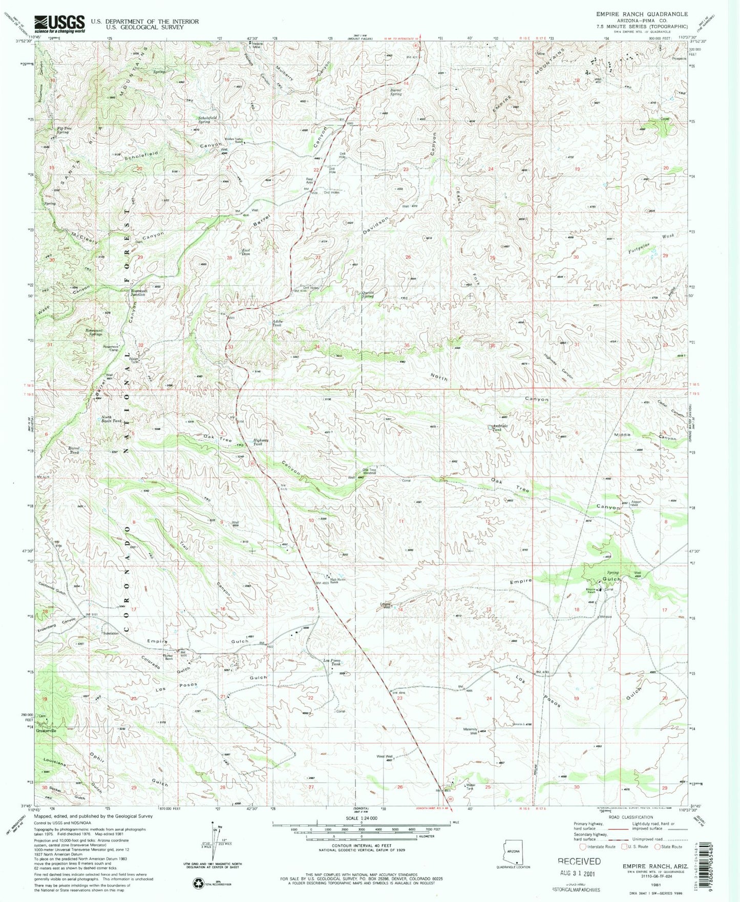
Classic USGS Empire Ranch Arizona 7.5'x7.5' Topo Map
Couldn't load pickup availability
Historical USGS topographic quad map of Empire Ranch in the state of Arizona. Typical map scale is 1:24,000, but may vary for certain years, if available. Print size: 24" x 27"
This quadrangle is in the following counties: Pima.
The map contains contour lines, roads, rivers, towns, and lakes. Printed on high-quality waterproof paper with UV fade-resistant inks, and shipped rolled.
Contains the following named places: Barrel Canyon, Barrel Spring, California Gulch, Colorado Gulch, Empire Ranch, Empire School, Enzenberg Canyon, Helena Mine, Hidden Valley Ranch, High Haven Ranch, Highway Canyon, McCleary Canyon, Papago Canyon, Rosemont Springs, Scholefield Canyon, Scholefield Spring, Sucker Gulch, Thurber Ranch, Trail Canyon, V R Camp, Wasp Canyon, Adobe Tank, Airport Well, Andrada Tank, Barrel Tank, East Dam, East Fork Davidson Canyon, Empire Ranch Airport (historical), Empire Well, Fig Tree Spring, Highway Tank, Los Posos Tank, Maternity Well, North Basin Tank, Oak Tree Windmill, Oakdale Tank, Questa Spring, Rosemont Camp, Rosemont Junction, West Well