MyTopo
Classic USGS Empire Arkansas 7.5'x7.5' Topo Map
Couldn't load pickup availability
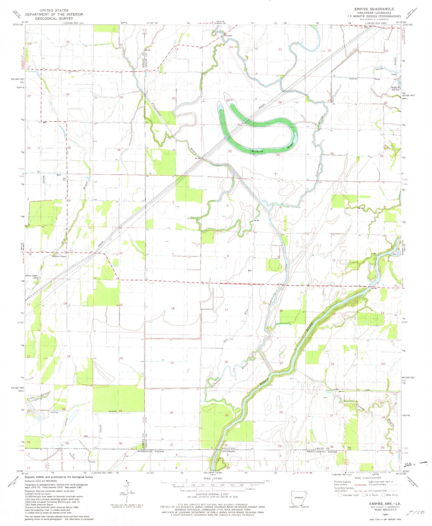
Historical USGS topographic quad map of Empire in the state of Arkansas. Map scale may vary for some years, but is generally around 1:24,000. Print size is approximately 24" x 27"
This quadrangle is in the following counties: Ashley, Chicot, Morehouse, West Carroll.
The map contains contour lines, roads, rivers, towns, and lakes. Printed on high-quality waterproof paper with UV fade-resistant inks, and shipped rolled.
Contains the following named places: Albritton, Ash Flat, Assembly of God Church, Boeuf River Swamp, Caney Bayou, Caney Canal, Empire, Fleschmans Bayou, Green Grove Cemetery, Green Grove Church, Holiness Church, Hubbard Brake, Lafourche Bayou, Lafourche Lake, Lee Chapel, Midway Church, Miller Chapel, Millers Chapel, Millers Chapel Cemetery, Oneil Store