MyTopo
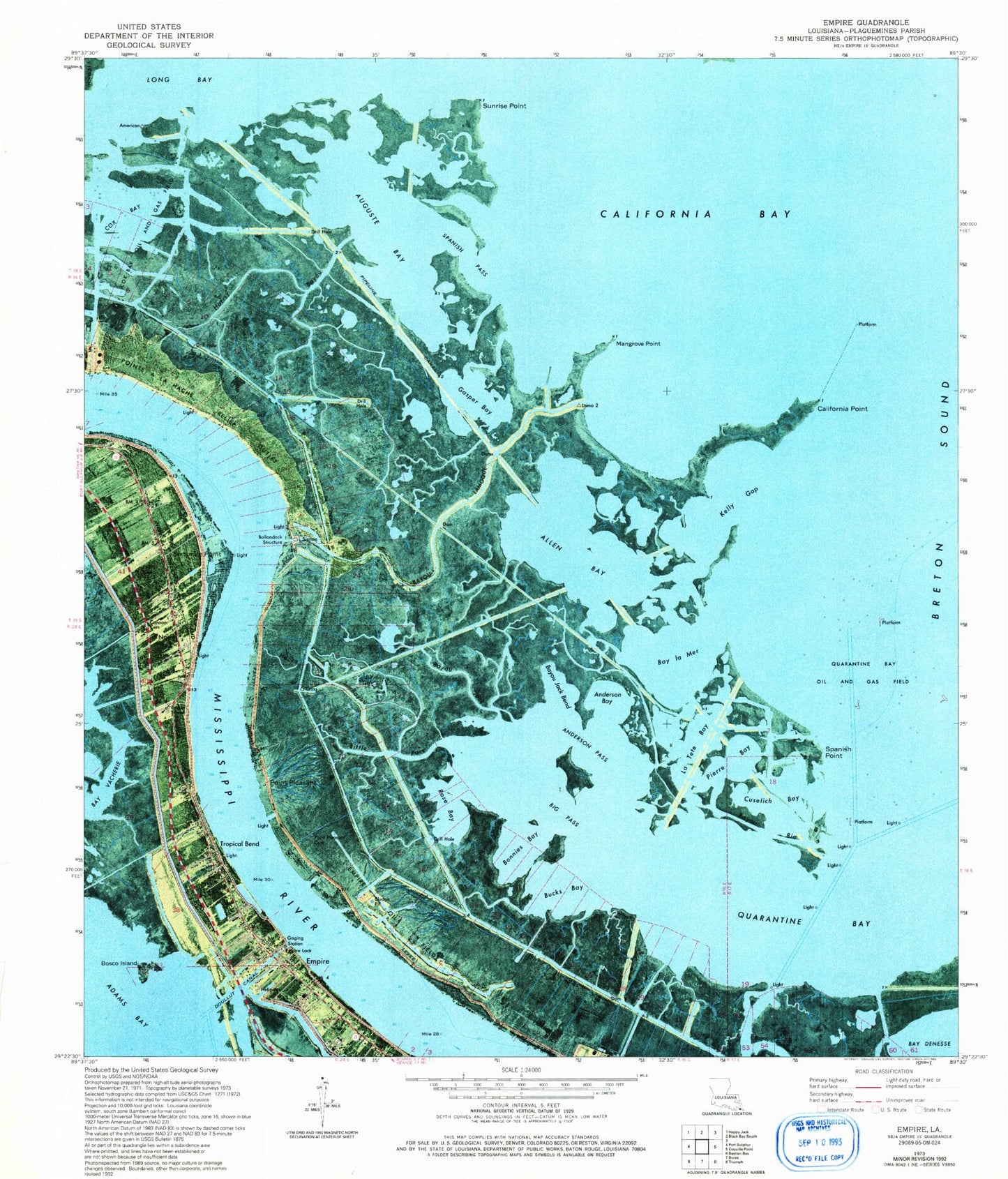
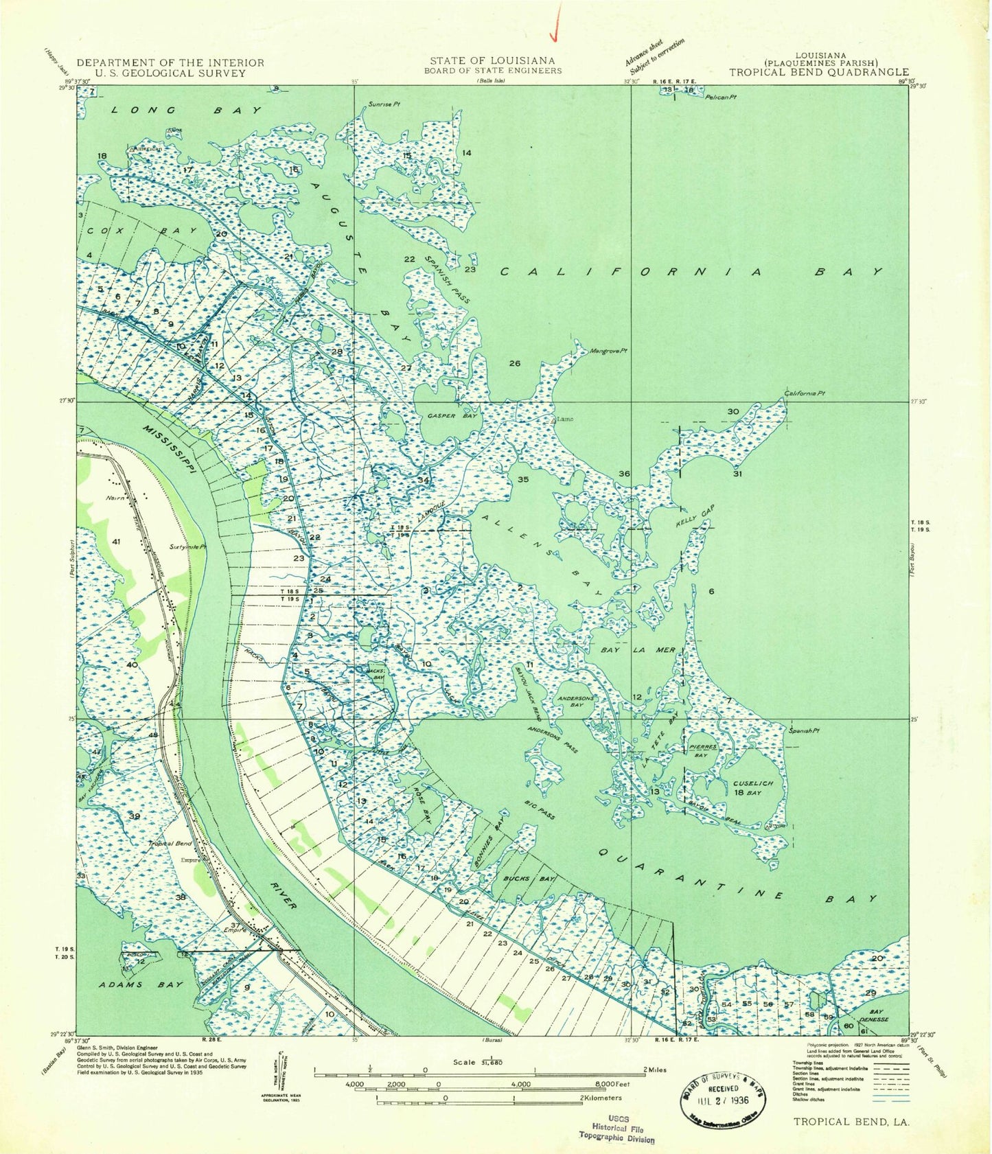
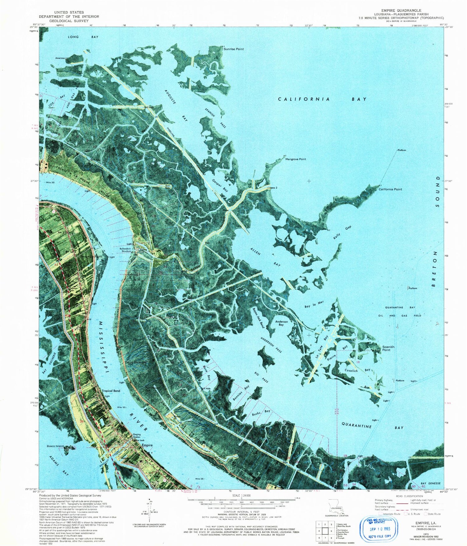
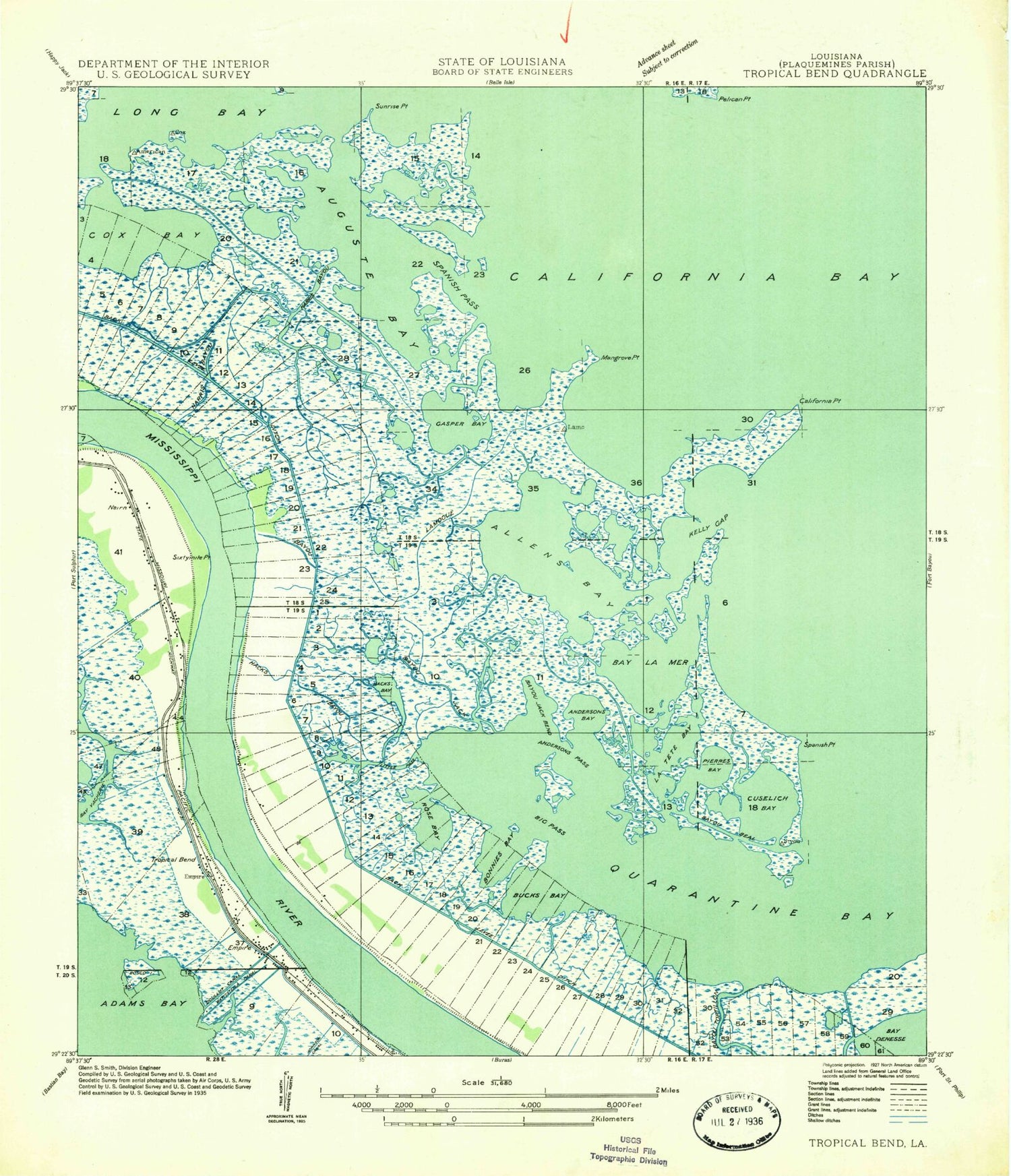
Classic USGS Empire Louisiana 7.5'x7.5' Topo Map
Couldn't load pickup availability
Historical USGS topographic quad map of Empire in the state of Louisiana. Map scale may vary for some years, but is generally around 1:24,000. Print size is approximately 24" x 27"
This quadrangle is in the following counties: Plaquemines.
The map contains contour lines, roads, rivers, towns, and lakes. Printed on high-quality waterproof paper with UV fade-resistant inks, and shipped rolled.
Contains the following named places: Allen Bay, Anderson Bay, Anderson Pass, Auguste Bay, Ballandock Canal, Ballandock Structure, Bardel Canal, Bay la Mer, Bay Vacherie, Bayou Bio, Bayou Jack, Bayou Jack Bend, Bayou Lamoque, Bayou Lamoque Revetment, Bayou Tortillon, Big Pass, Bohemia State Wildlife Management Area, Bonnies Bay, Bosco Island, Bucks Bay, California Bay, California Point, Calky Terminal Seaplane Base, Cannon Cemetery, Cox Bay, Cuselich Bay, Doullut Canal, Empire, Empire Census Designated Place, Empire Lock, Empire Oil Field, Empire Post Office, Gasper Bay, Hacks Bayou, Harris Bayou, Hesperides, Kelly Gap, La Tete Bay, Little Pass, Mangrove Point, Nairn, Nairn Cemetery, Nicholls, Pierre Bay, Point Pleasant, Point Pleasant Cemetery, Quarantine Bay, Quarantine Bay Oil and Gas Field, Quarantine Bay Seaplane Base, Rose Bay, Second Mount Zion Church, Shell Pipeline Nairn Heliport, Sixtymile Point, Spanish Pass, Spanish Point, Sunrise Point, Tropical Bend, Tropical Bend Revetment, Ward One, ZIP Code: 70050


