
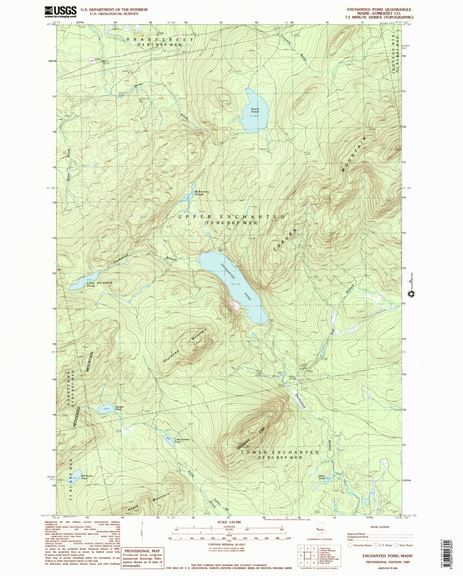
MyTopo
Classic USGS Enchanted Pond Maine 7.5'x7.5' Topo Map
Regular price
$16.95
Regular price
Sale price
$16.95
Unit price
per
Couldn't load pickup availability
Historical USGS topographic quad map of Enchanted Pond in the state of Maine. Typical map scale is 1:24,000, but may vary for certain years, if available. Print size: 24" x 27"
This quadrangle is in the following counties: Somerset.
The map contains contour lines, roads, rivers, towns, and lakes. Printed on high-quality waterproof paper with UV fade-resistant inks, and shipped rolled.
Contains the following named places: Bill Morris Pond, Bulldog Camps, Coburn Mountain, East Branch Enchanted Stream, Enchanted Pond, Gordon Pond, Grace Pond, Grace Pond Camp, Granny Cap, Johns Pond, Little Enchanted Pond, Little Gordon Pond, McKenney Ponds, Shutdown Mountain, Upper Enchanted Township


