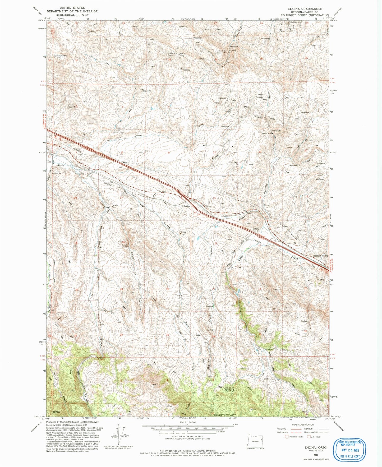
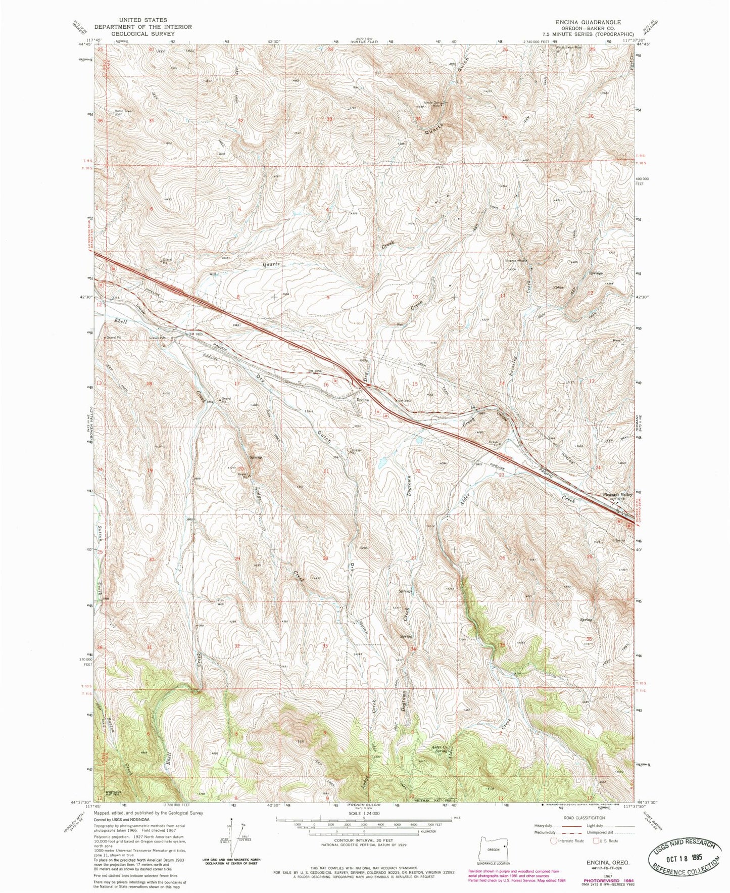
MyTopo
Classic USGS Encina Oregon 7.5'x7.5' Topo Map
Couldn't load pickup availability
Historical USGS topographic quad map of Encina in the state of Oregon. Map scale may vary for some years, but is generally around 1:24,000. Print size is approximately 24" x 27"
This quadrangle is in the following counties: Baker.
The map contains contour lines, roads, rivers, towns, and lakes. Printed on high-quality waterproof paper with UV fade-resistant inks, and shipped rolled.
Contains the following named places: Aitken, Alder Creek Spring, Baiseley Creek, Baker County, Brazos Mine, Dogtown Creek, Dry Creek, Dry Gulch, Encina, Johnston Spring, Lodge Creek, Norton, Pleasant Valley, Pleasant Valley Cemetery, Pleasant Valley Speedway and Dragstrip, Quartz Creek, Uncle Dan Mine, Virtue Hills, White Swan Mine