MyTopo
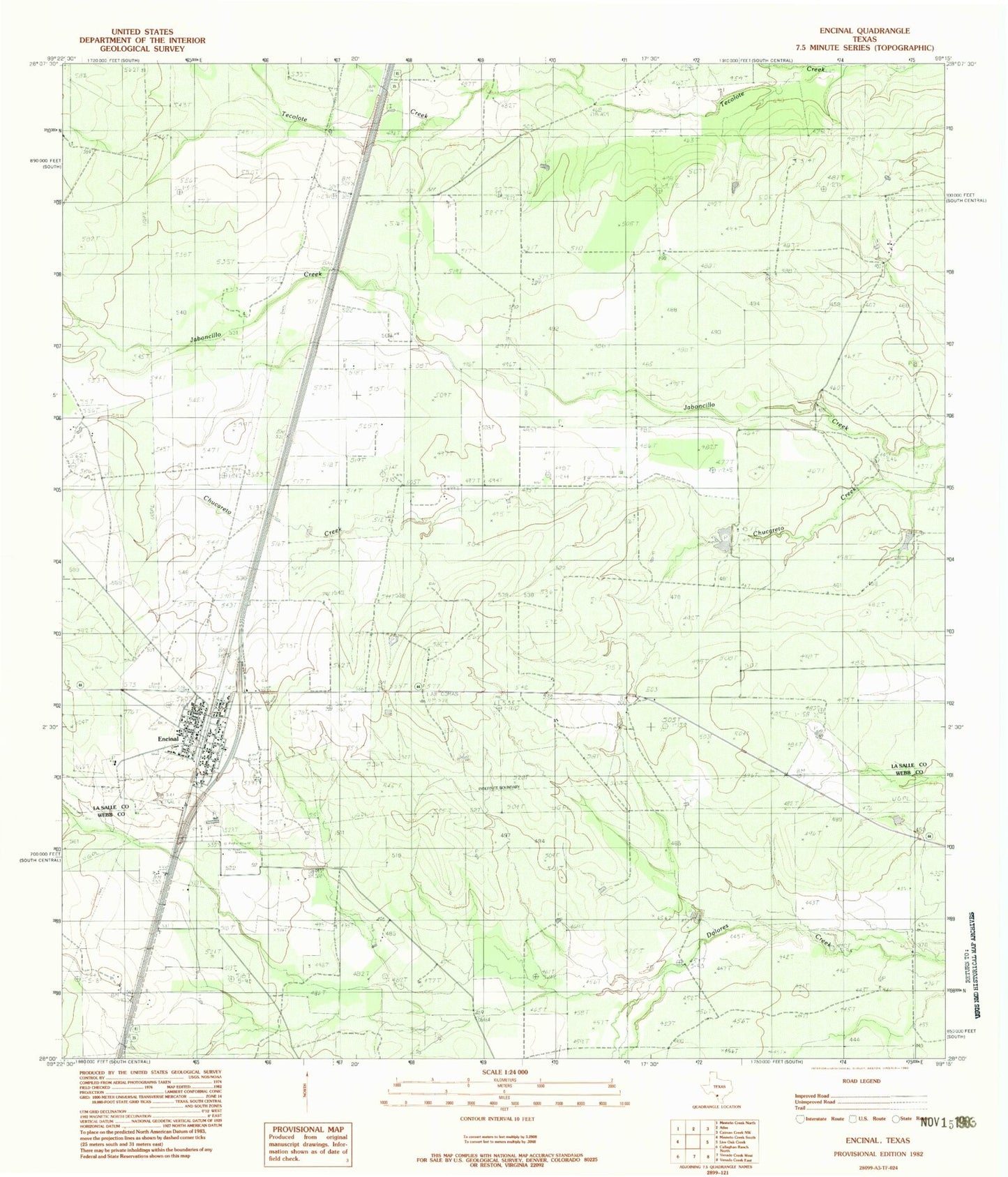
Classic USGS Encinal Texas 7.5'x7.5' Topo Map
Regular price
$16.95
Regular price
Sale price
$16.95
Unit price
per
Couldn't load pickup availability
Historical USGS topographic quad map of Encinal in the state of Texas. Map scale may vary for some years, but is generally around 1:24,000. Print size is approximately 24" x 27"
This quadrangle is in the following counties: La Salle, Webb.
The map contains contour lines, roads, rivers, towns, and lakes. Printed on high-quality waterproof paper with UV fade-resistant inks, and shipped rolled.
Contains the following named places: A Schletze, City of Encinal, E Lissy, El Jardin Ranch Airport, Encinal, Encinal Post Office, F Churchill, G Wellhausen, J Myer, J Ramon, Kinsel Lake, Kinsel Lake Dam, L Martin, P Neff, Ramon Ranch