MyTopo
Classic USGS Endeavor Wisconsin 7.5'x7.5' Topo Map
Couldn't load pickup availability
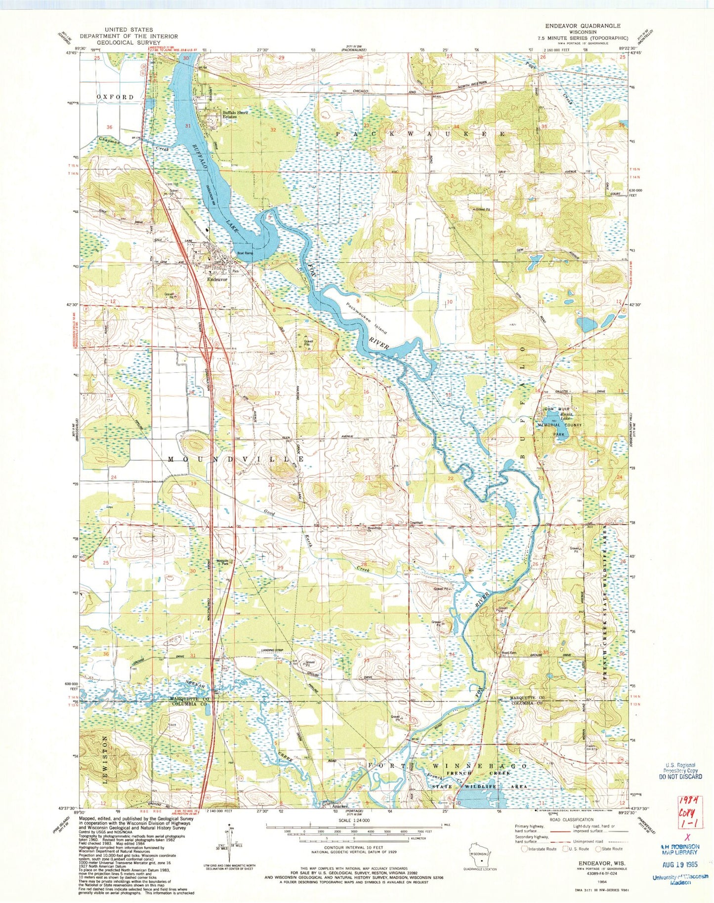
Historical USGS topographic quad map of Endeavor in the state of Wisconsin. Map scale may vary for some years, but is generally around 1:24,000. Print size is approximately 24" x 27"
This quadrangle is in the following counties: Columbia, Marquette.
The map contains contour lines, roads, rivers, towns, and lakes. Printed on high-quality waterproof paper with UV fade-resistant inks, and shipped rolled.
Contains the following named places: Anacker, Buffalo Shore Estates, Chapman Creek, Endeavor, Endeavor - Moundville Fire and Rescue, Endeavor Elementary School, Endeavor Post Office, Ennis Lake, Fox River National Wildlife Refuge, French Creek, French Creek Wildlife Area Pool Number 2, French Creek Wildlife Refuge 2WP1497 Dam, John Muir Memorial County Park, Moundville Church, Muir Park State Natural Area, Neenah Creek, Packwaukee Island, Rood Cemetery, Smith Lake, Town of Moundville, Village of Endeavor, ZIP Code: 53930