MyTopo
Classic USGS Endee Hill New Mexico 7.5'x7.5' Topo Map
Regular price
$16.95
Regular price
Sale price
$16.95
Unit price
per
Couldn't load pickup availability
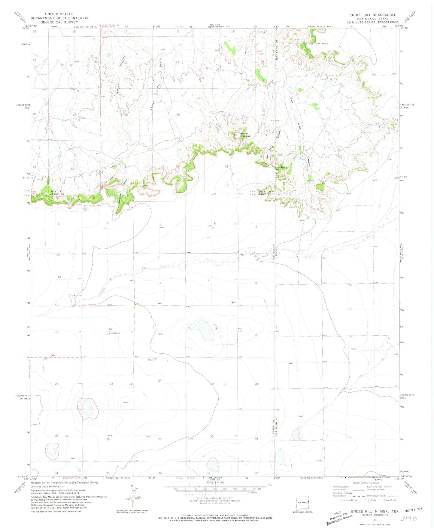
Historical USGS topographic quad map of Endee Hill in the states of New Mexico, Texas. Map scale may vary for some years, but is generally around 1:24,000. Print size is approximately 24" x 27"
This quadrangle is in the following counties: Curry, Deaf Smith, Quay.
The map contains contour lines, roads, rivers, towns, and lakes. Printed on high-quality waterproof paper with UV fade-resistant inks, and shipped rolled.
Contains the following named places: 10775 Water Well, Bob Smith Canyon, Clark Monument 9, Endee Hill, Mitchell Cemetery, Purcell, Round Mountain, Rusk Hill, Salt Well Canyon, Simmons Canyon