MyTopo
Classic USGS Enders Nebraska 7.5'x7.5' Topo Map
Couldn't load pickup availability
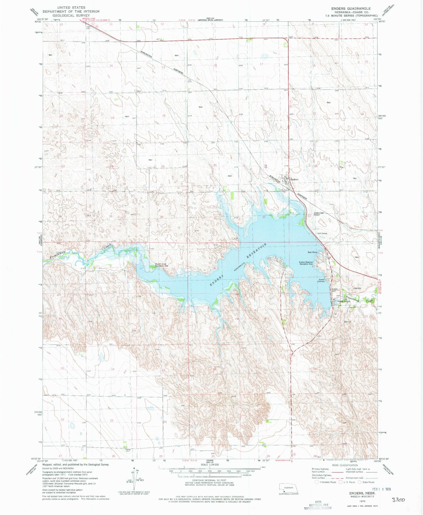
Historical USGS topographic quad map of Enders in the state of Nebraska. Map scale may vary for some years, but is generally around 1:24,000. Print size is approximately 24" x 27"
This quadrangle is in the following counties: Chase.
The map contains contour lines, roads, rivers, towns, and lakes. Printed on high-quality waterproof paper with UV fade-resistant inks, and shipped rolled.
Contains the following named places: Area A Campground, Center Dam Campground, Church Grove Recreation Area, Church of the Brethren, Enders, Enders Census Designated Place, Enders Dam, Enders Lake Golf Course, Enders Lake Golf Course RV Park, Enders Post Office, Enders Reservoir, Enders Reservoir State Recreation Area, Enders Reservoir State Wildlife Management Area, Pioneer Election Precinct, ZIP Code: 69027