MyTopo
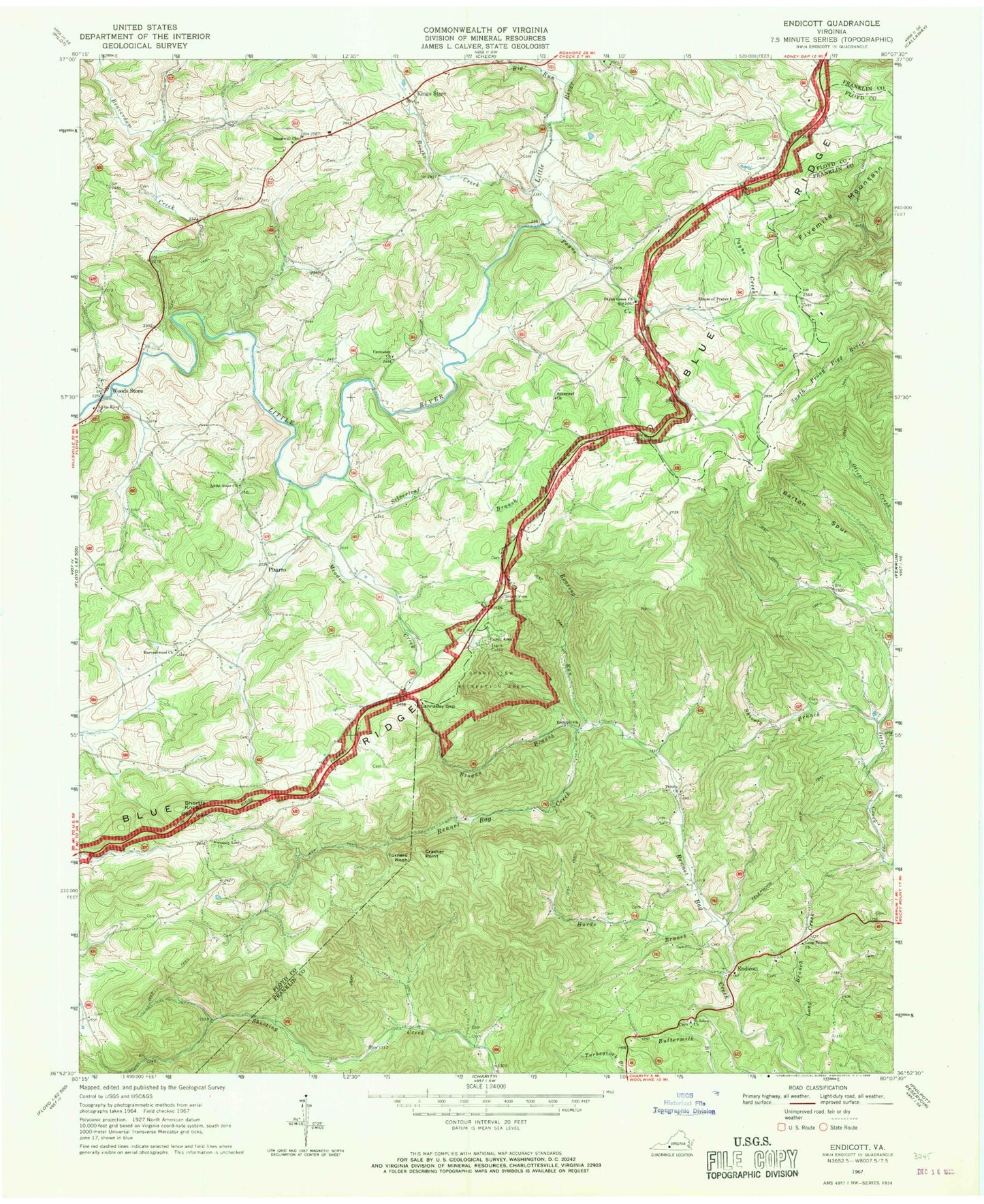
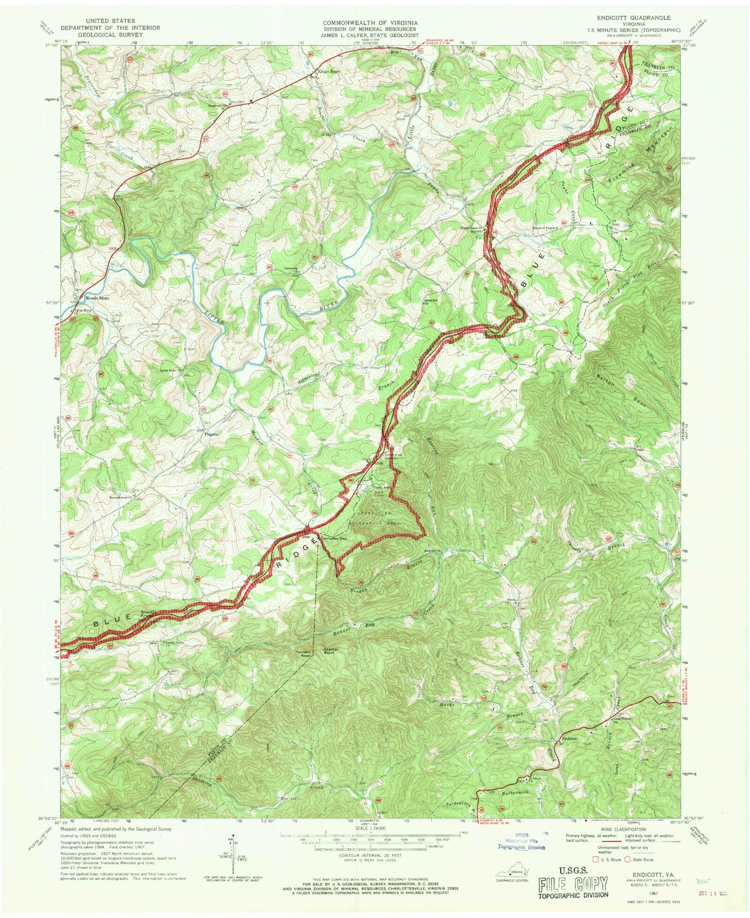
Classic USGS Endicott Virginia 7.5'x7.5' Topo Map
Couldn't load pickup availability
Historical USGS topographic quad map of Endicott in the state of Virginia. Typical map scale is 1:24,000, but may vary for certain years, if available. Print size: 24" x 27"
This quadrangle is in the following counties: Floyd, Franklin.
The map contains contour lines, roads, rivers, towns, and lakes. Printed on high-quality waterproof paper with UV fade-resistant inks, and shipped rolled.
Contains the following named places: Barton Spur, Beaverdam Creek, Big Run, Boothe Creek, Brogan Branch, Cannaday Church, Cannaday Gap, County Line Church, Cracker Point, Endicott Church, Harvestwood Church, House of Prayer, Hurds Branch, Kings Store, Long Branch, Long Branch Church, Meadow Creek, Payne Creek, Payne Creek Church, Roaring Run, Saint Johns School, Shively Branch, Silverleaf Branch, Silverleaf Church, Smart View Overlook, Smart View Recreation Area, Stonewall Church, Stonewall Church, Trinity Church, Woods Store, Endicott, Pizarro, Park Ridge Dam, Burdettes Dam, Burdettes Pond, Fivemile Mountain, Shortts Knob, Turners Knob, Floyd County Farm (historical), Smart, Shively Cemetery, Boyd Cemetery, Endicott Community Cemetery, Huff Cemetery, Martin Cemetery, McAlexander Cemetery, Midkiff Cemetery, Nolen Cemetery, Nolen Cemetery, Saint Johns Cemetery, Saint Johns Church, Scott Cemetery, Shively Cemetery, Spencer Cemetery


