MyTopo
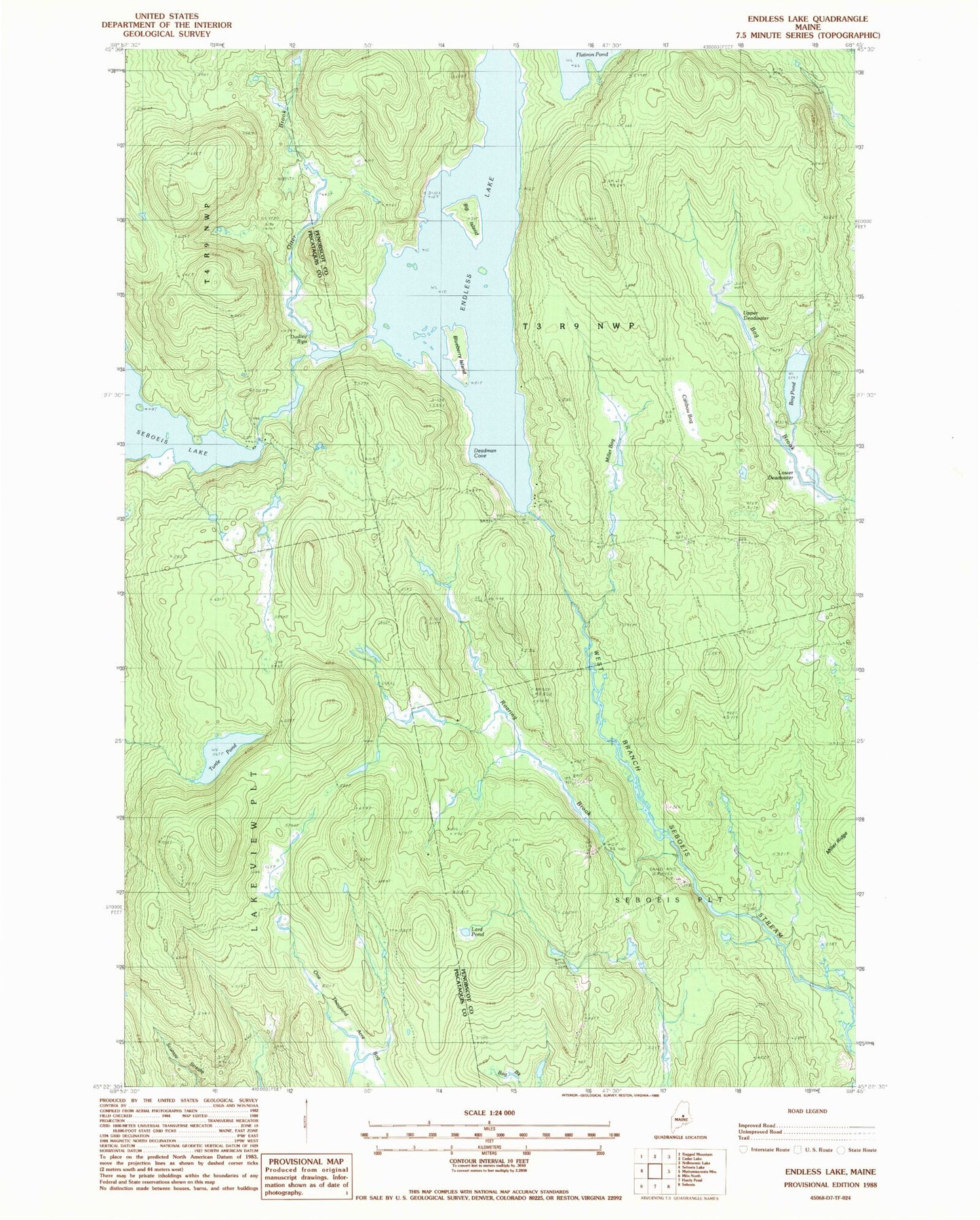
Classic USGS Endless Lake Maine 7.5'x7.5' Topo Map
Couldn't load pickup availability
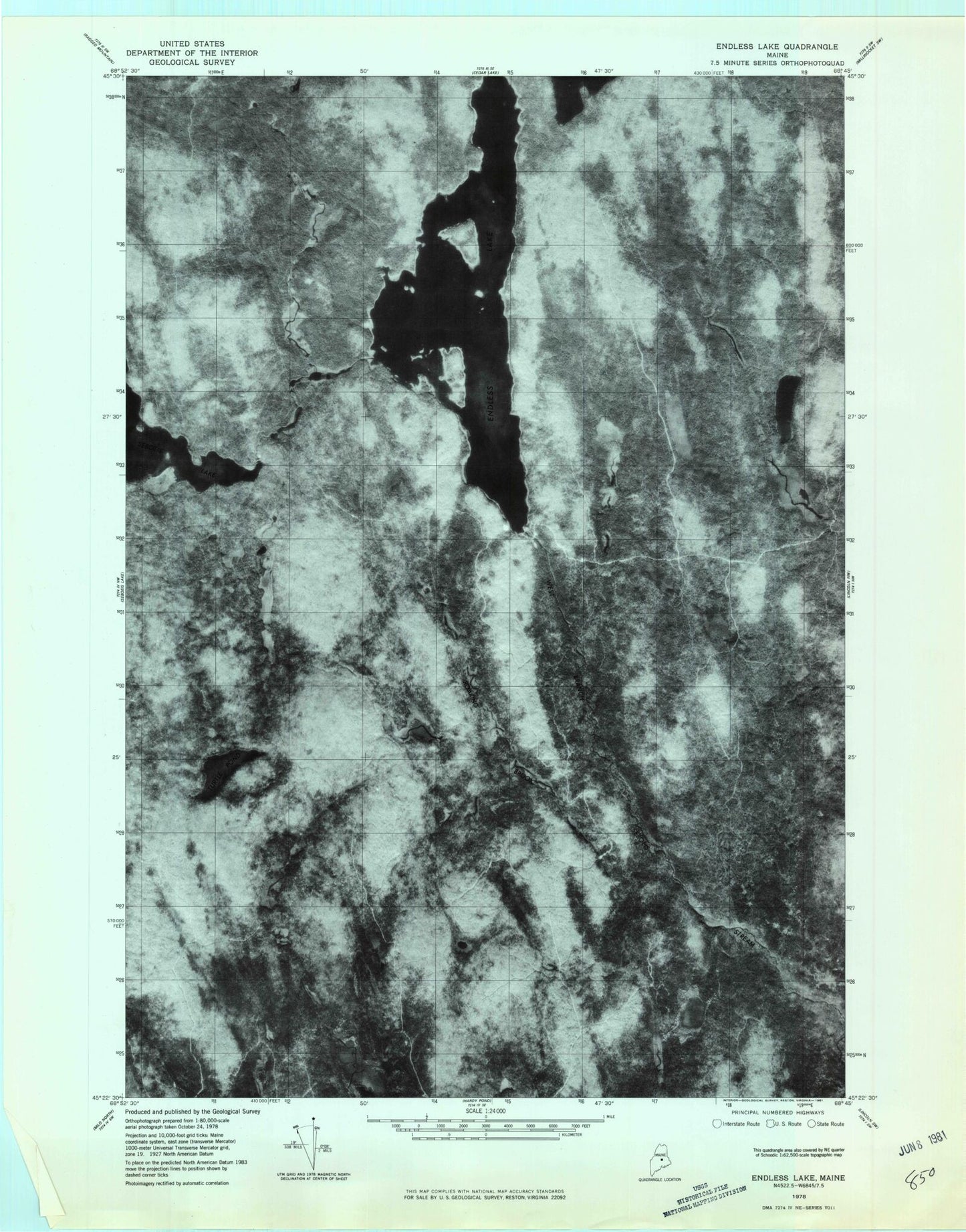
Historical USGS topographic quad map of Endless Lake in the state of Maine. Typical map scale is 1:24,000, but may vary for certain years, if available. Print size: 24" x 27"
This quadrangle is in the following counties: Penobscot, Piscataquis.
The map contains contour lines, roads, rivers, towns, and lakes. Printed on high-quality waterproof paper with UV fade-resistant inks, and shipped rolled.
Contains the following named places: Big Island, Blueberry Island, Bog Pond, Caribou Bog, Deadman Cove, Dudley Rips, Endless Lake, Lake Trail, Lard Camp Trail, Lard Pond, Lower Deadwater, Miller Bog, Miller Ridge, One Thousand Acre Bog, Otter Brook, Roaring Brook, Seboeis Lake, Shore Trail, Turtle Pond, Upper Deadwater, Seboeis Dam, Cedar Lake Township