MyTopo
Classic USGS Engelhard East North Carolina 7.5'x7.5' Topo Map
Regular price
$16.95
Regular price
Sale price
$16.95
Unit price
per
Couldn't load pickup availability
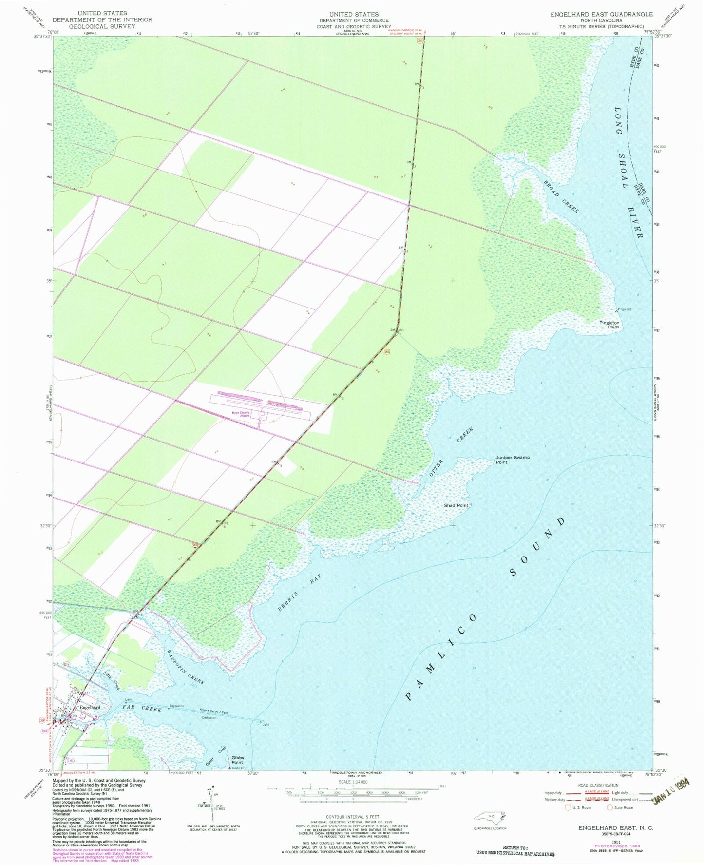
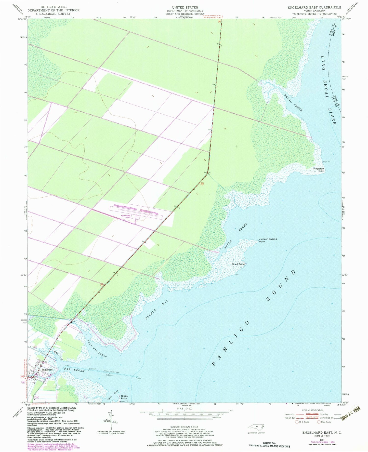
Historical USGS topographic quad map of Engelhard East in the state of North Carolina. Map scale may vary for some years, but is generally around 1:24,000. Print size is approximately 24" x 27"
This quadrangle is in the following counties: Dare, Hyde.
The map contains contour lines, roads, rivers, towns, and lakes. Printed on high-quality waterproof paper with UV fade-resistant inks, and shipped rolled.
Contains the following named places: Berrys Bay, Broad Creek, Engelhard, Far Creek, Gibbs Point, Hyde County Airport, Juniper Swamp Point, Kitty Creek, Liverman Airport, Otter Creek, Oyster Creek, Pingleton Point, Shad Point, Waupopin Creek