MyTopo
Classic USGS Engelhard NE North Carolina 7.5'x7.5' Topo Map
Regular price
$16.95
Regular price
Sale price
$16.95
Unit price
per
Couldn't load pickup availability
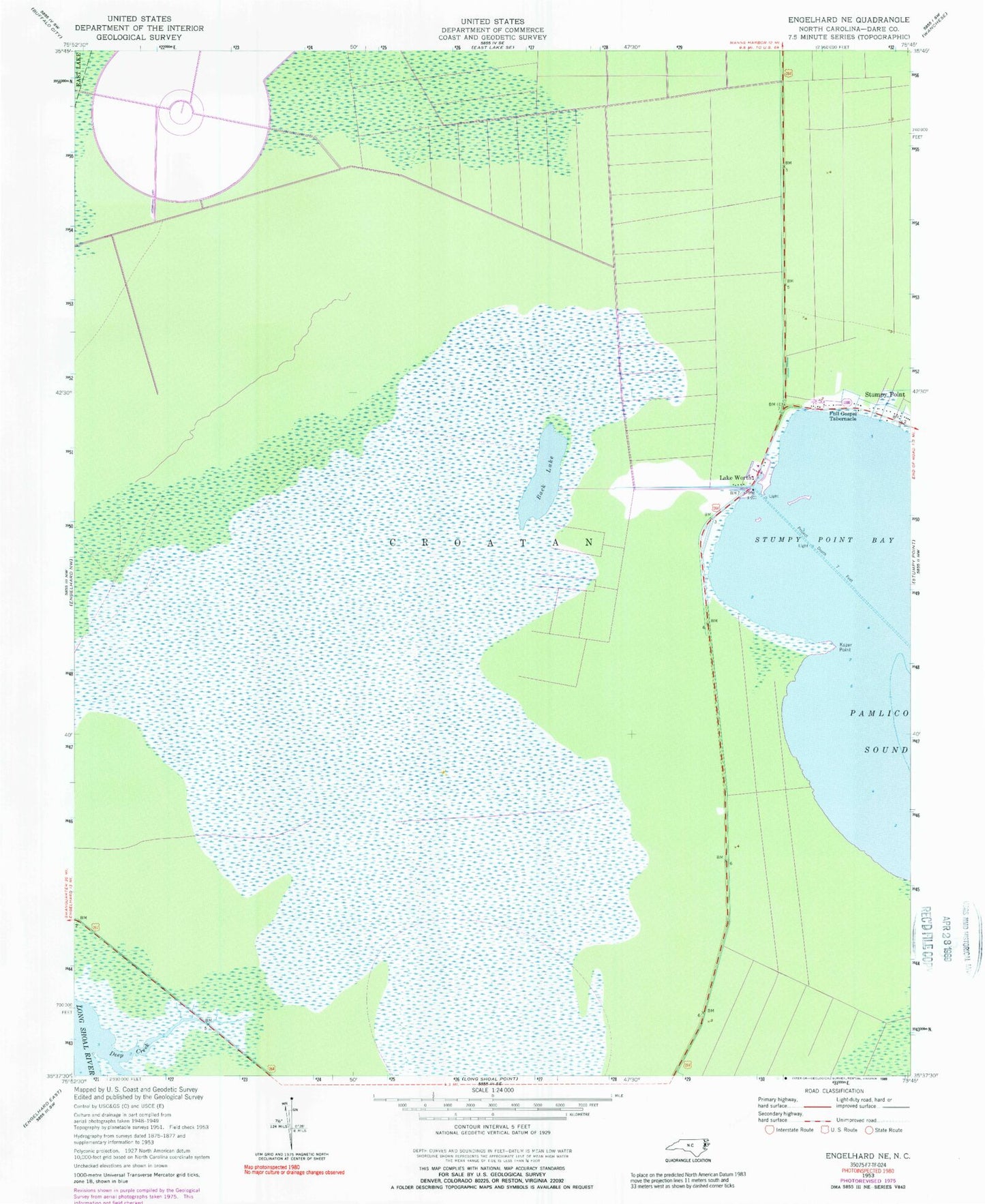
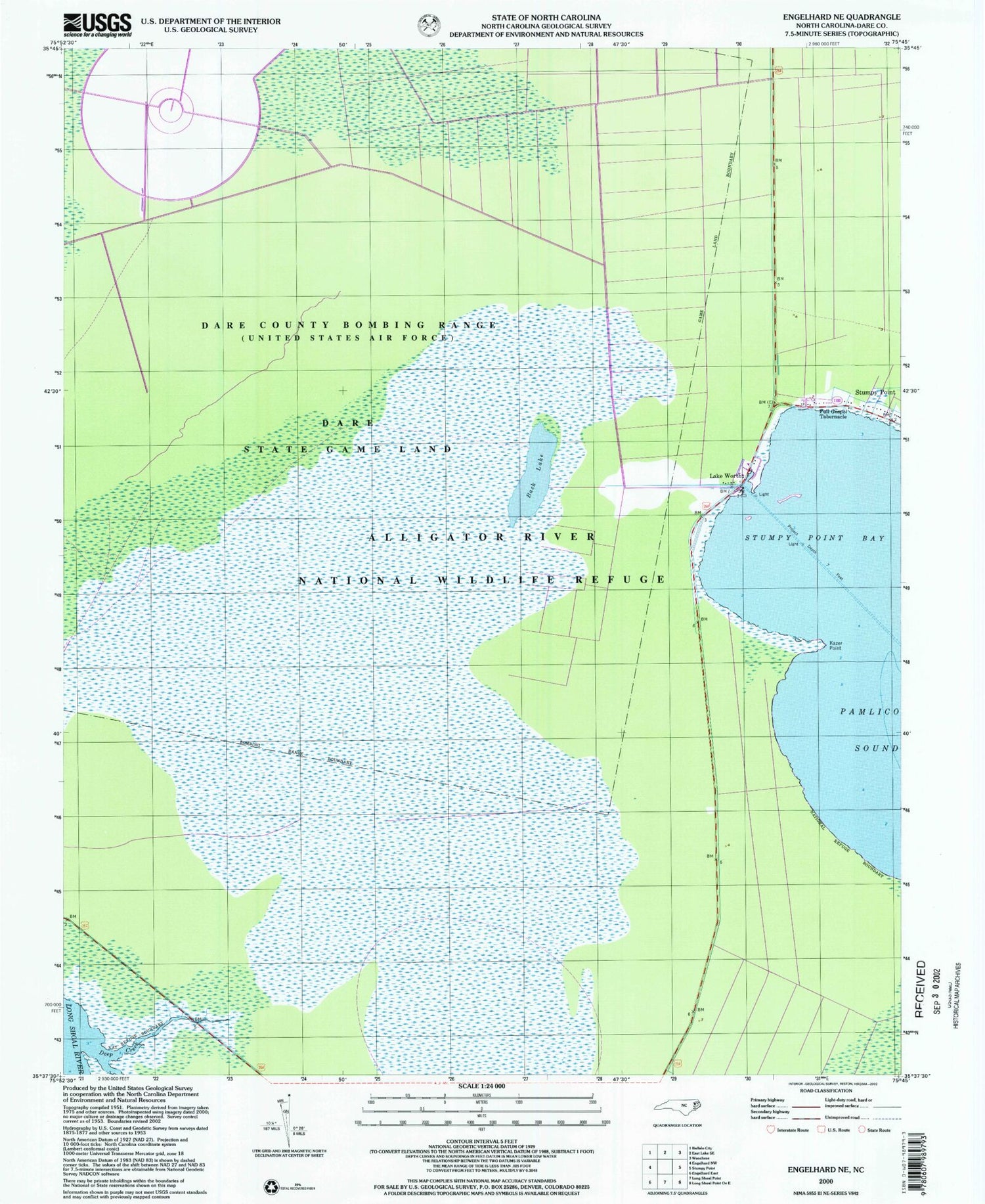
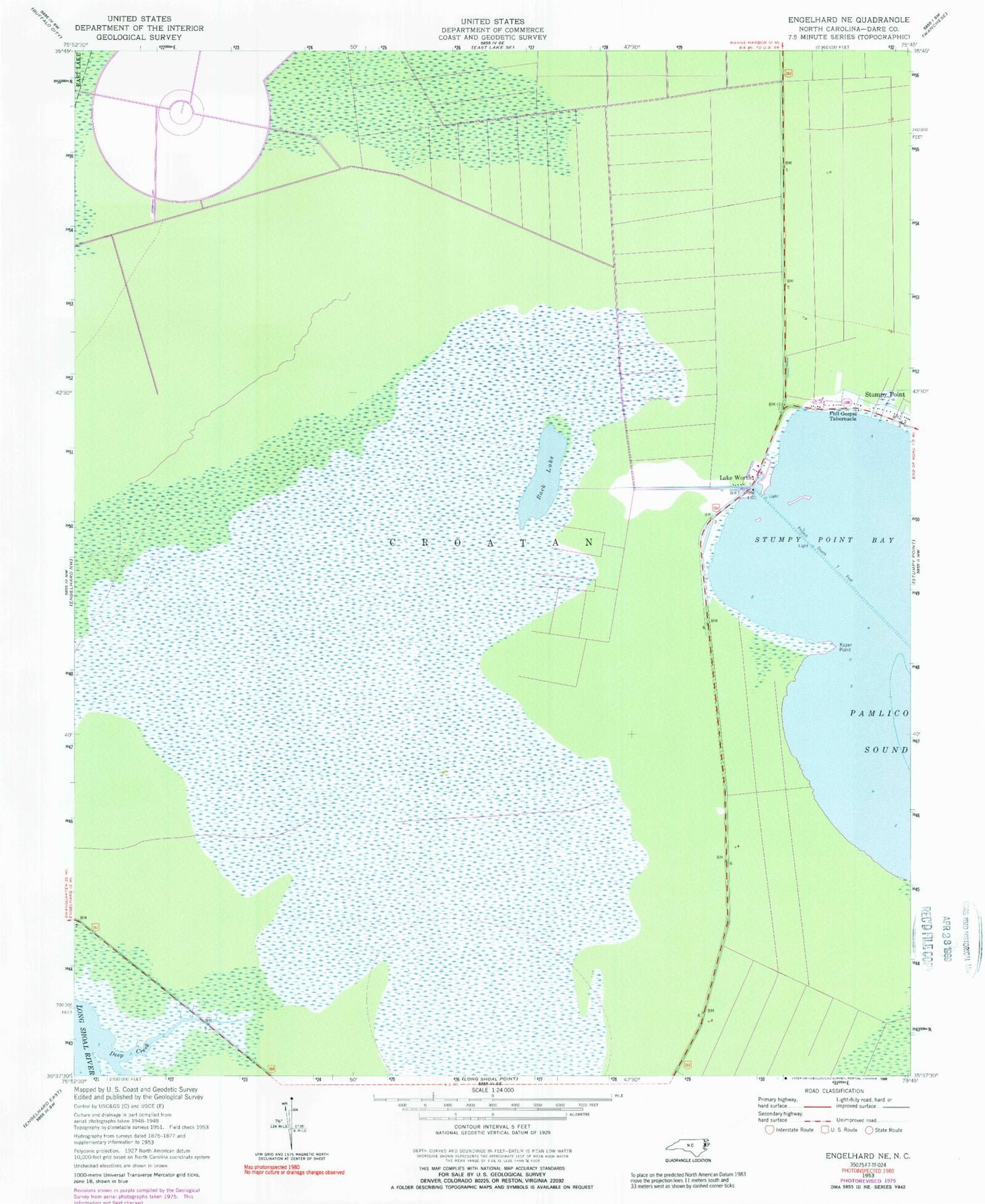
Historical USGS topographic quad map of Engelhard NE in the state of North Carolina. Map scale may vary for some years, but is generally around 1:24,000. Print size is approximately 24" x 27"
This quadrangle is in the following counties: Dare.
The map contains contour lines, roads, rivers, towns, and lakes. Printed on high-quality waterproof paper with UV fade-resistant inks, and shipped rolled.
Contains the following named places: Air Force Dare County Bombing Range, Back Lake, Deep Creek, Full Gospel Tabernacle, Kazer Point, Lake Worth, Stumpy Point Bay