MyTopo
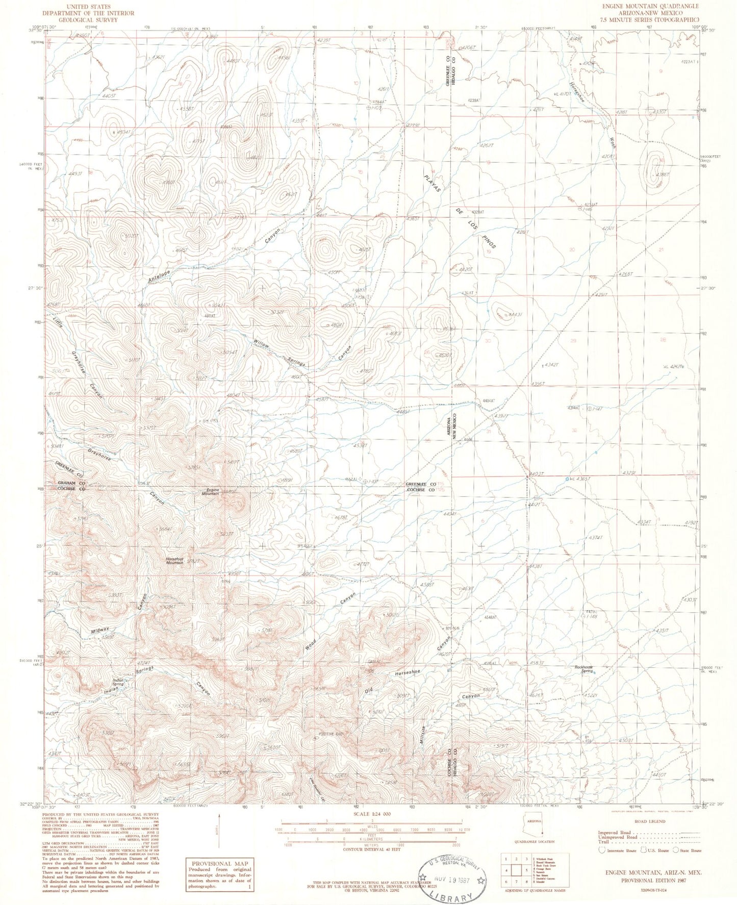
Classic USGS Engine Mountain Arizona 7.5'x7.5' Topo Map
Couldn't load pickup availability
Historical USGS topographic quad map of Engine Mountain in the states of Arizona, New Mexico. Map scale may vary for some years, but is generally around 1:24,000. Print size is approximately 24" x 27"
This quadrangle is in the following counties: Cochise, Graham, Greenlee, Hidalgo.
The map contains contour lines, roads, rivers, towns, and lakes. Printed on high-quality waterproof paper with UV fade-resistant inks, and shipped rolled.
Contains the following named places: Engine Mountain, Horsefoot Mountain, Horseshoe Ranch, Indian Spring, Indian Springs Canyon, Millsite Canyon, Old Horseshoe Canyon, Peloncillo Mountains Wilderness Study Area, Playas de los Pinos, Playas de Los Pinos, Rockhouse Spring, Willow Springs Canyon, Willow Springs Ranch, Wood Canyon