MyTopo
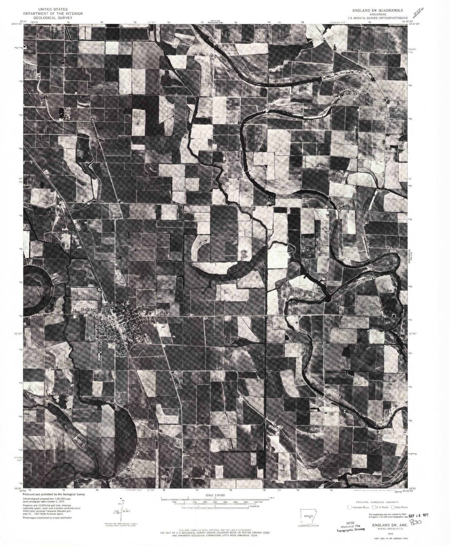
Classic USGS England Arkansas 7.5'x7.5' Topo Map
Couldn't load pickup availability
Historical USGS topographic quad map of England in the state of Arkansas. Map scale may vary for some years, but is generally around 1:24,000. Print size is approximately 24" x 27"
This quadrangle is in the following counties: Lonoke.
The map contains contour lines, roads, rivers, towns, and lakes. Printed on high-quality waterproof paper with UV fade-resistant inks, and shipped rolled.
Contains the following named places: Blakemore, Boyd, Capps Airport, Central School, Chapel Hill Church, Church of Christ, City of England, Cross Bayou, Dodson School, Emergency Ambulance Service England, England, England Academy, England Elementary School, England Flying Service Airport, England High School, England Hospital, England Middle School, England Police Department, England Post Office, England Volunteer Fire Department, First Assembly of God Church, First Baptist Church, First United Methodist Church, Gumwood Church, Holy Trinity Church, Hunley Chapel, Indian Bayou Ditch, Jebbs School, KLRA-AM (England), KLRA-FM (England), Landmark Baptist Church, Macedonia School, Miller School, Mount Zion Church, Mulberry Cemetery, Nelon Brake, Nelon Cemetery, Pentecostal Church of God, Perry School, Salt Lake, Southside Baptist Church, Tomberlin Cemetery, Tomberlin School, Township of Gum Woods, Township of Lafayette, Township of Pettus, Union Valley Church, ZIP Code: 72046