MyTopo
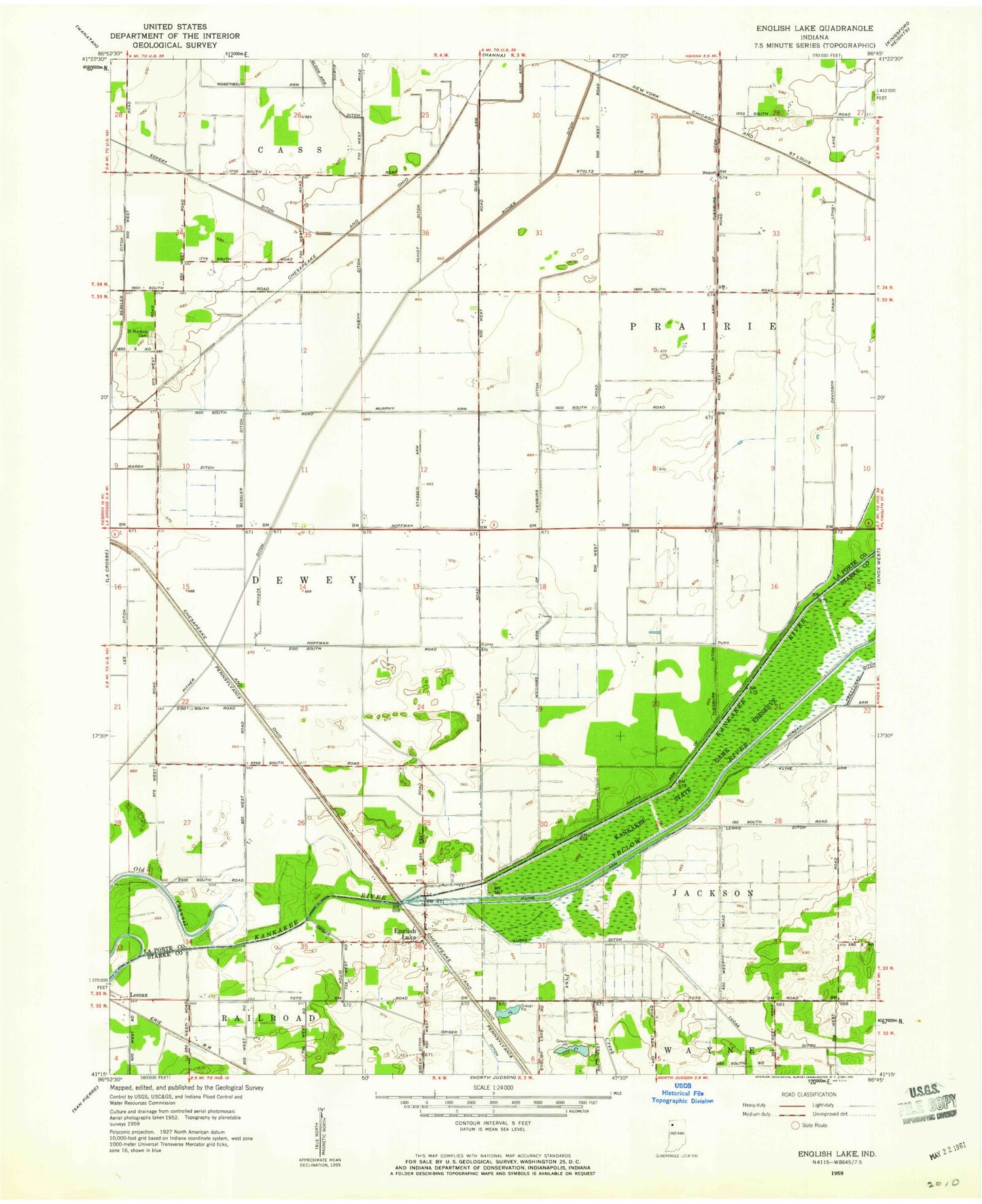
Classic USGS English Lake Indiana 7.5'x7.5' Topo Map
Couldn't load pickup availability
Historical USGS topographic quad map of English Lake in the state of Indiana. Map scale may vary for some years, but is generally around 1:24,000. Print size is approximately 24" x 27"
This quadrangle is in the following counties: LaPorte, Starke.
The map contains contour lines, roads, rivers, towns, and lakes. Printed on high-quality waterproof paper with UV fade-resistant inks, and shipped rolled.
Contains the following named places: Archangels Landing, Bessler Ditch, Bogus Run, Davidson Drain, English Lake, Gloor Arm, Hoffman Arm, Hundt Ditch, Kaukakee State Fish and Wildlife Area, Kline Arm, Kuehn Ditch, Lemke Ditch, Lomax, Luedtke Dairy Farm, Murphy Arm, Pine Creek, Pitner Ditch, Runnymede, Saint Martins Cemetery, Stassen Arm, Stoltz Arm, Township of Prairie, William Arm of Tuesburg Ditch, Yellow River, ZIP Code: 46348