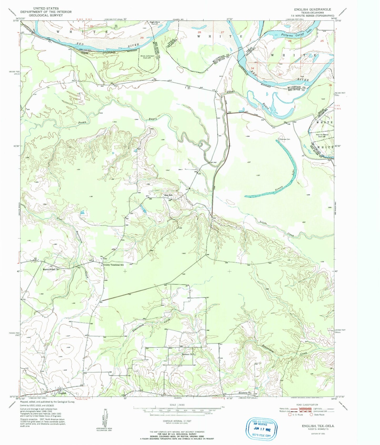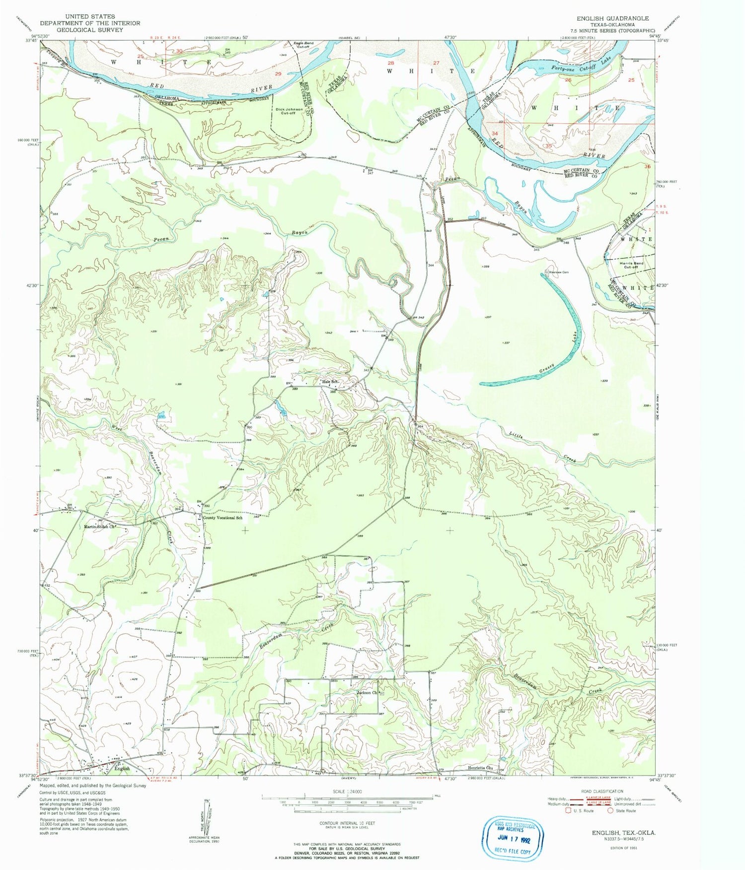
MyTopo
Classic USGS English Texas 7.5'x7.5' Topo Map
Regular price
$16.95
Regular price
Sale price
$16.95
Unit price
per
Couldn't load pickup availability
Historical USGS topographic quad map of English in the states of Texas, Oklahoma. Map scale may vary for some years, but is generally around 1:24,000. Print size is approximately 24" x 27"
This quadrangle is in the following counties: McCurtain, Red River.
The map contains contour lines, roads, rivers, towns, and lakes. Printed on high-quality waterproof paper with UV fade-resistant inks, and shipped rolled.
Contains the following named places: Dick Johnson Cut-Off, English, Forty-one Cut-off Lake, Grassy Lake, Hale School, Henrietta Church, Jackson Church, Martin-Shiloh Church, Pecan Bayou, Pecan Springs, Riverview Cemetery, Tanyard Branch