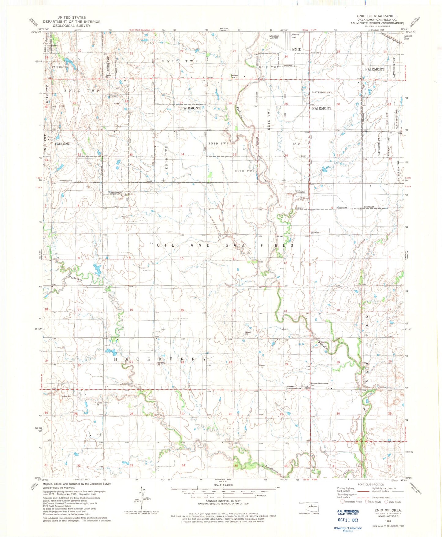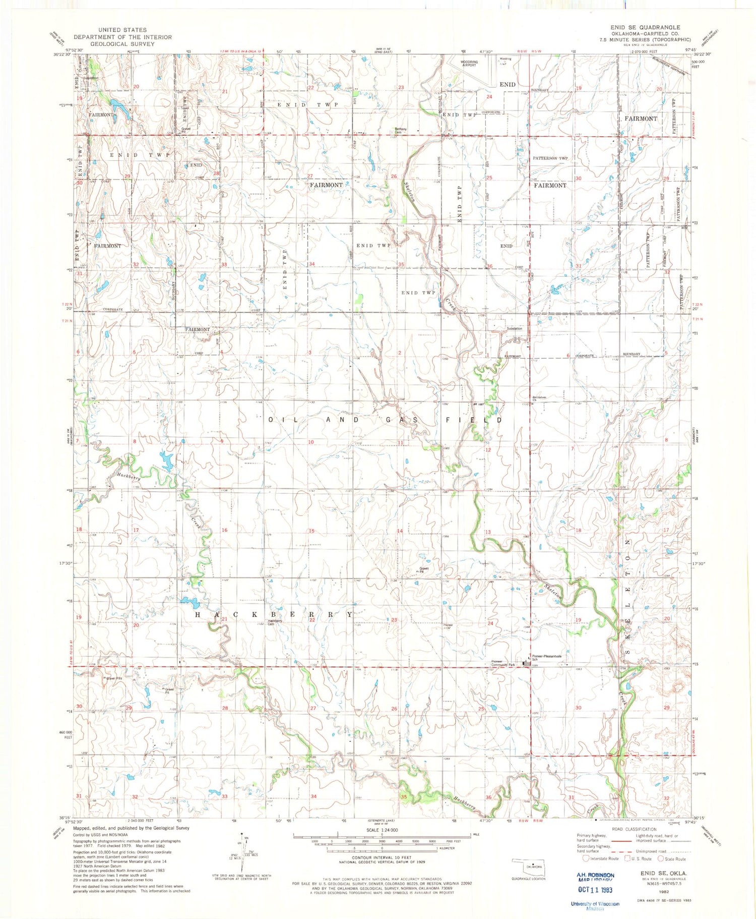
MyTopo
Classic USGS Enid SE Oklahoma 7.5'x7.5' Topo Map
Couldn't load pickup availability
Historical USGS topographic quad map of Enid SE in the state of Oklahoma. Map scale may vary for some years, but is generally around 1:24,000. Print size is approximately 24" x 27"
This quadrangle is in the following counties: Garfield.
The map contains contour lines, roads, rivers, towns, and lakes. Printed on high-quality waterproof paper with UV fade-resistant inks, and shipped rolled.
Contains the following named places: Bethany Cemetery, Bethlehem Church, Hackberry Cemetery, Hackberry Creek, Horner School, Pioneer - Pleasant Vale Junior High School, Pioneer Community Park, Pioneer High School, Pioneer Skeleton Creek Fire District, South Garfield Division, Township of Enid, Township of Fairmont, Township of Hackberry