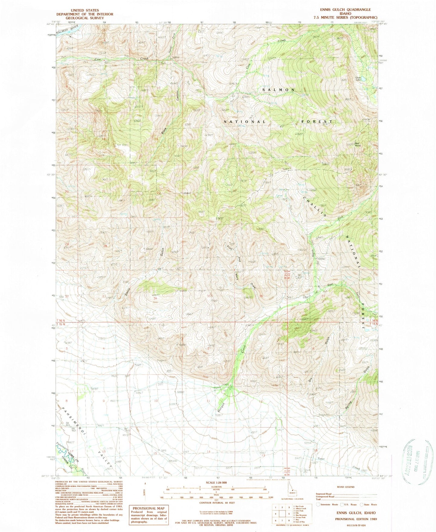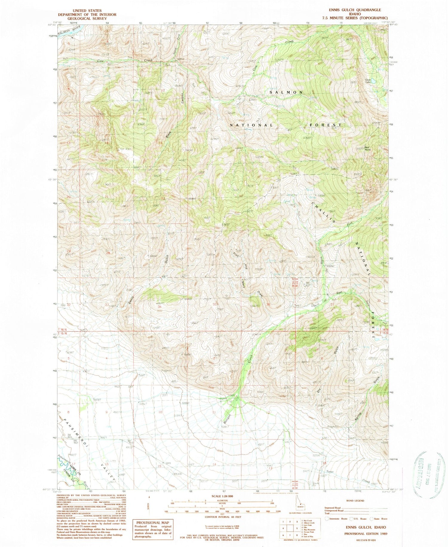
MyTopo
Classic USGS Ennis Gulch Idaho 7.5'x7.5' Topo Map
Regular price
$16.95
Regular price
Sale price
$16.95
Unit price
per
Couldn't load pickup availability
Historical USGS topographic quad map of Ennis Gulch in the state of Idaho. Map scale may vary for some years, but is generally around 1:24,000. Print size is approximately 24" x 27"
This quadrangle is in the following counties: Custer, Lemhi.
The map contains contour lines, roads, rivers, towns, and lakes. Printed on high-quality waterproof paper with UV fade-resistant inks, and shipped rolled.
Contains the following named places: Black Canyon, Dry Gulch, East Fork Morgan Creek, Fred and Mary Draw, Goat Lake, North Fork Cow Creek, North Fork Morgan Creek, Patterson Division, Red Point, Spring Gulch, Tater Creek