MyTopo
Classic USGS Enoch Utah 7.5'x7.5' Topo Map
Couldn't load pickup availability
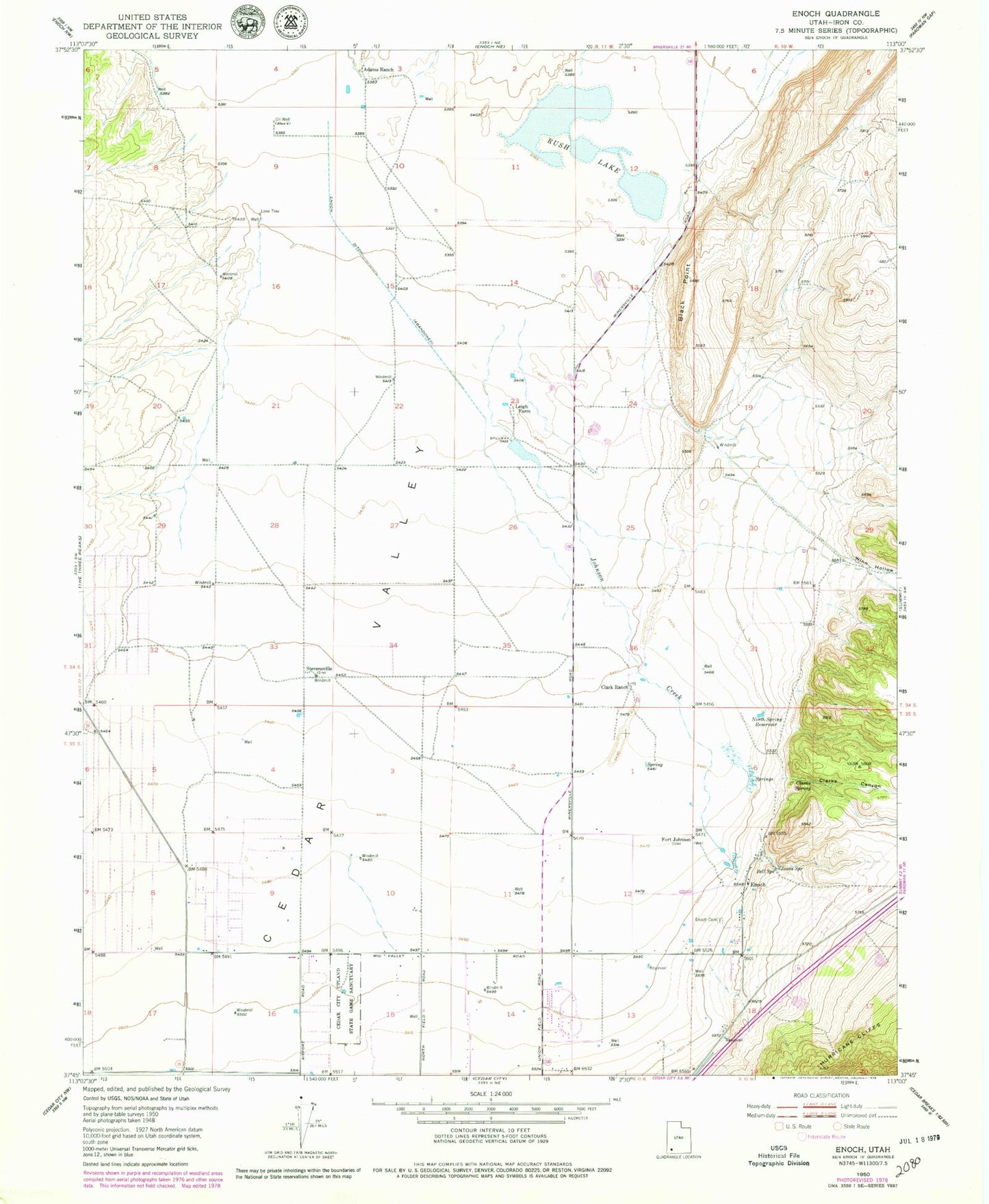
Historical USGS topographic quad map of Enoch in the state of Utah. Map scale may vary for some years, but is generally around 1:24,000. Print size is approximately 24" x 27"
This quadrangle is in the following counties: Iron.
The map contains contour lines, roads, rivers, towns, and lakes. Printed on high-quality waterproof paper with UV fade-resistant inks, and shipped rolled.
Contains the following named places: Adams Ranch, Bell Spring, Black Point, Braffits Creek, Cedar City Upland State Game Sanctuary, Cedar Valley, City of Enoch, Clark Airport, Clark Ranch, Clarks Canyon, Clarks Spring, Enoch, Enoch Cemetery, Enoch City Police Department, Enoch Elementary School, Fort Johnson, Jehovahs Witnesses Cedar City Congregation, Johnson Creek, Jones Spring, KBRE-AM (Cedar City), Leigh Farm, Lone Tree, North Spring Reservoir, Rush Lake, Stevensville, The Church of Jesus Christ of Latter Day Saints, Valley Bible Church, Winn Hollow, ZIP Code: 84721