MyTopo
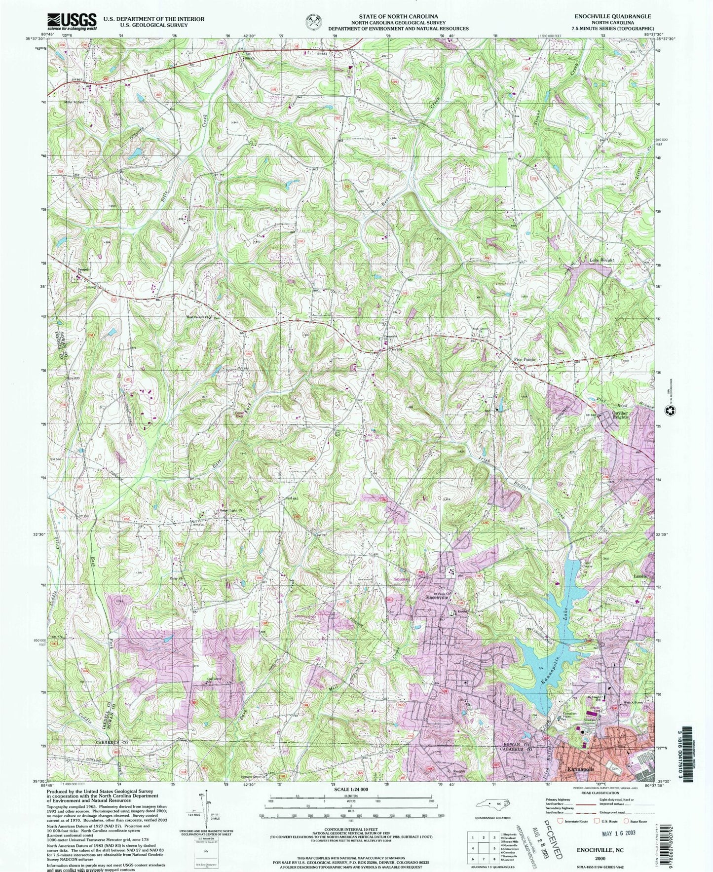
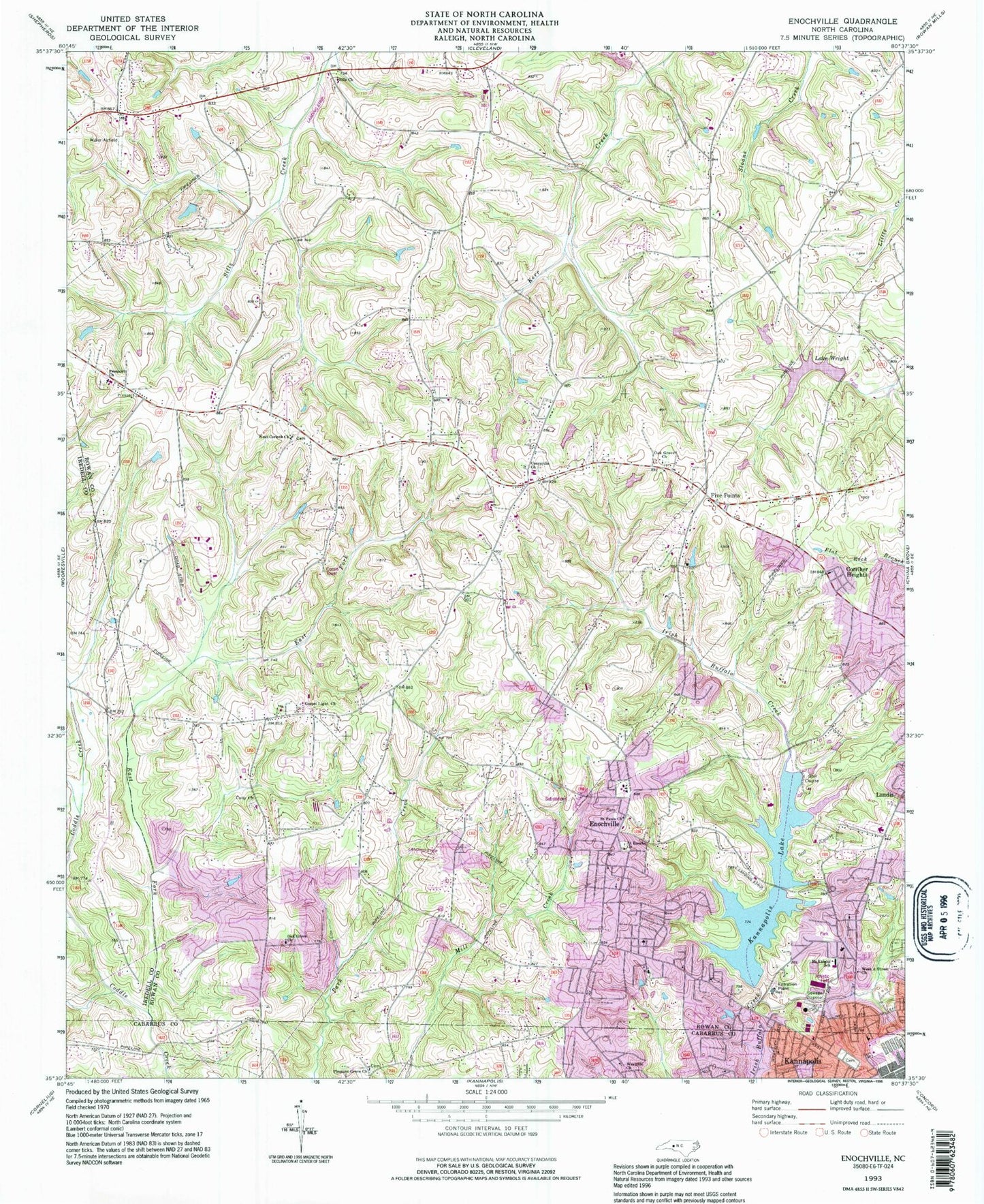
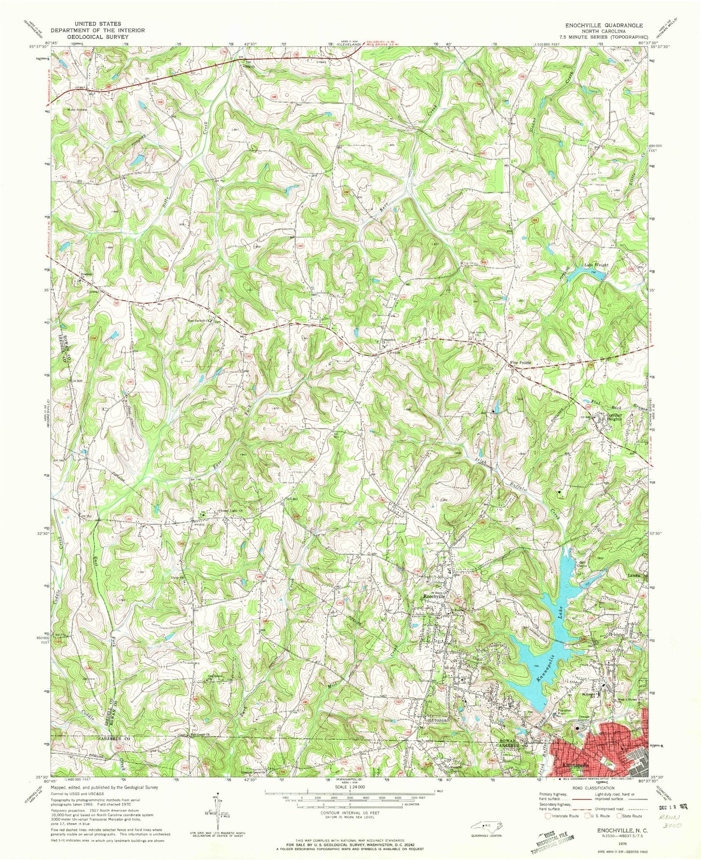
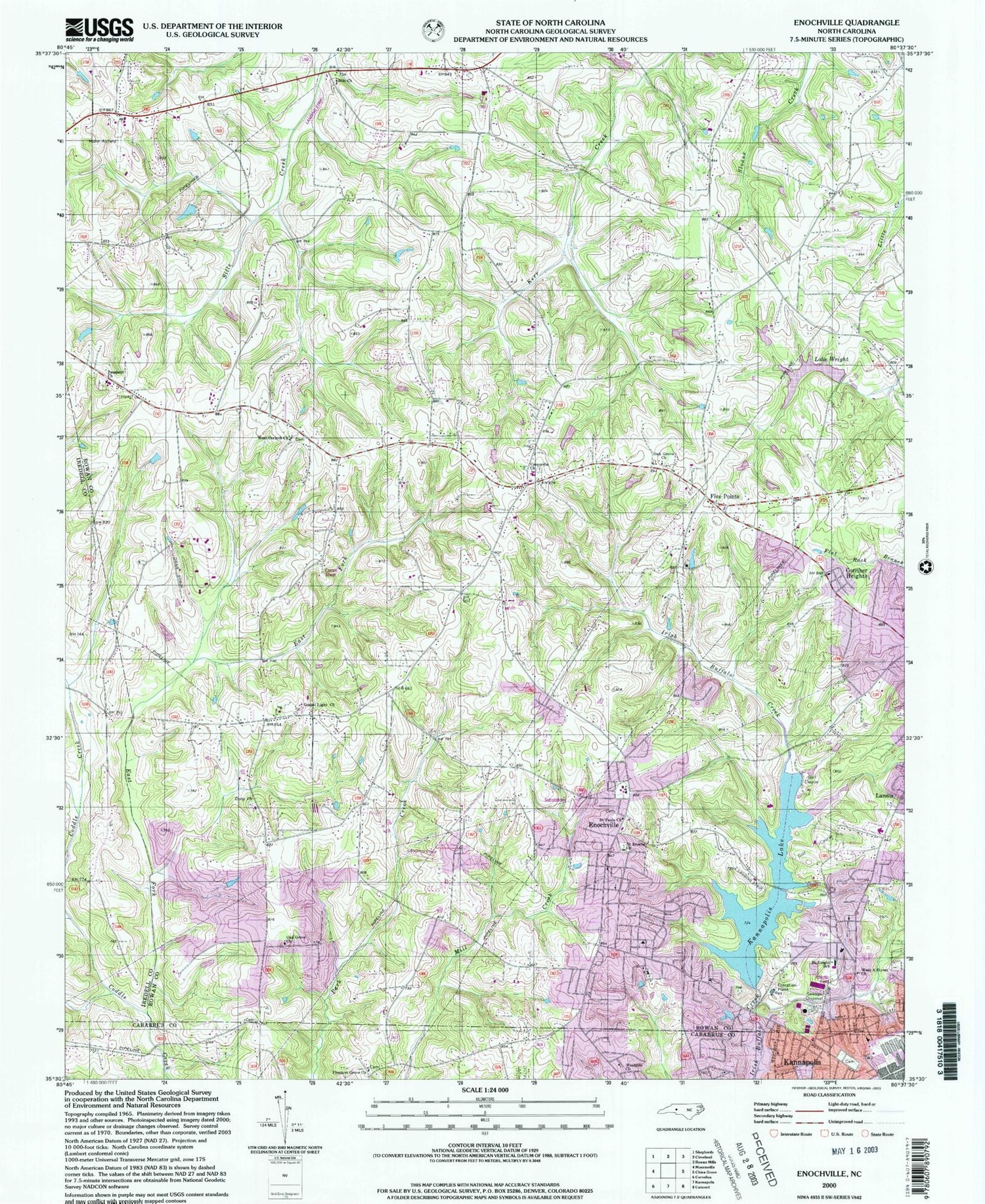
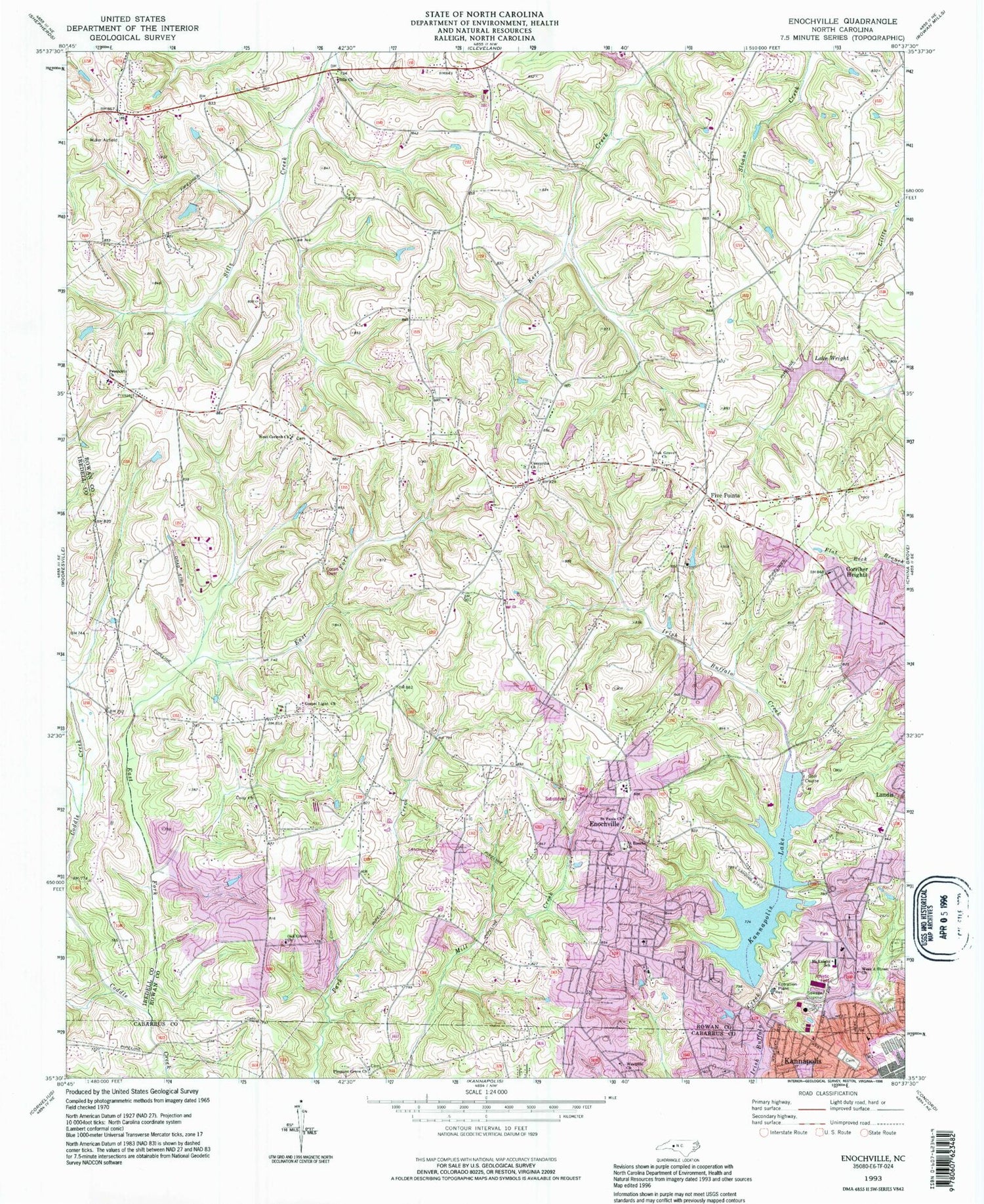
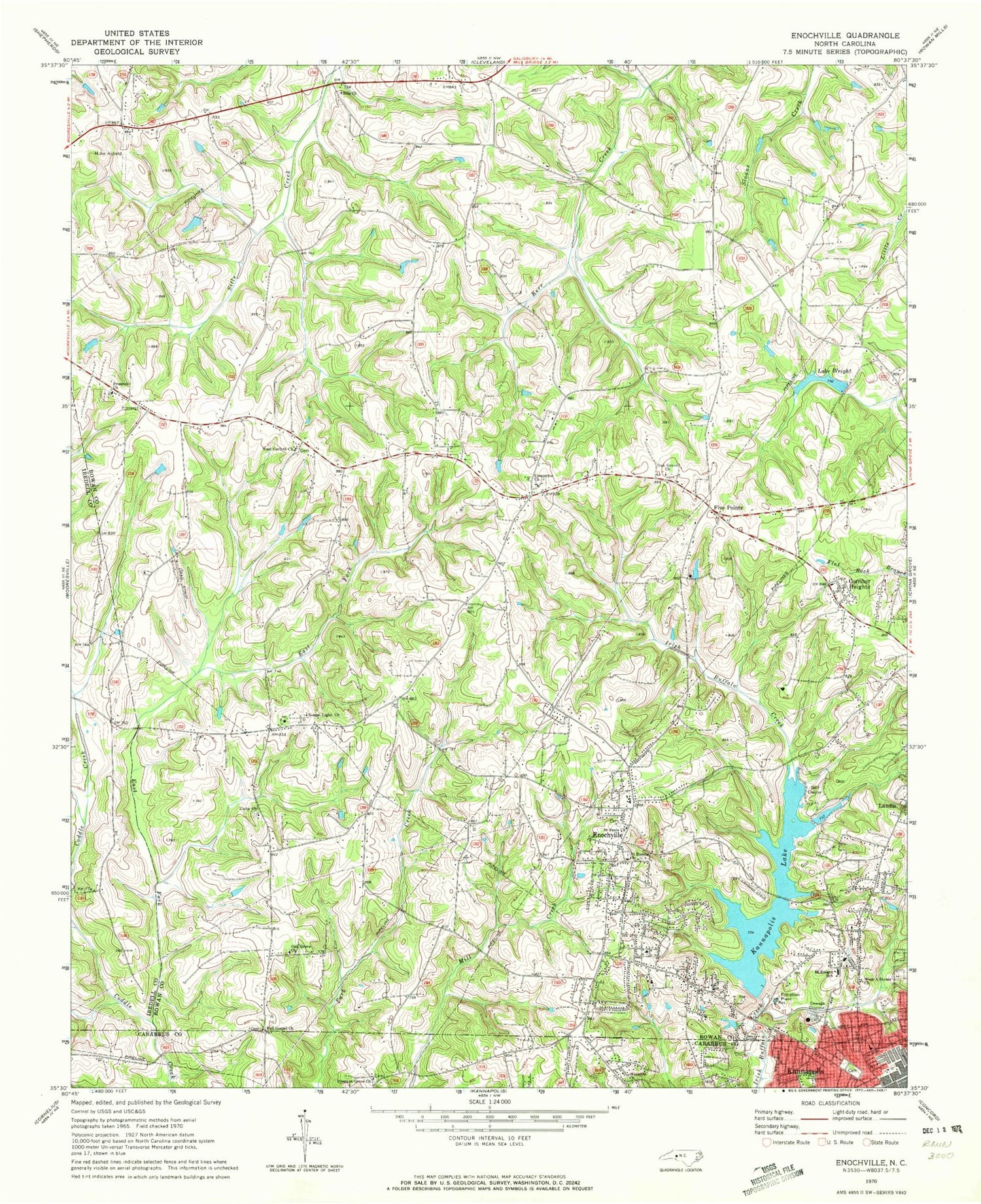
Classic USGS Enochville North Carolina 7.5'x7.5' Topo Map
Couldn't load pickup availability
Historical USGS topographic quad map of Enochville in the state of North Carolina. Map scale may vary for some years, but is generally around 1:24,000. Print size is approximately 24" x 27"
This quadrangle is in the following counties: Cabarrus, Iredell, Rowan.
The map contains contour lines, roads, rivers, towns, and lakes. Printed on high-quality waterproof paper with UV fade-resistant inks, and shipped rolled.
Contains the following named places: Atwell Township Volunteer Fire Department, Baker Creek Park, Barringer Field, Broadway Airfield, Concordia Church, Corriher Heights, Doctor SMcCorkle School, East Fork, Enochville, Enochville Airport, Enochville Census Designated Place, Enochville Elementary School, Enochville Fire and Rescue Department Station 49, Ervin Airfield, Five Points, Full Gospel Church, Goodnight's Airport, Gospel Light Church, Harts, Kannapolis Golf Course, Kannapolis Lake, Lake Kannapolis Dam, Lake Wright, Landis Water Reservoir Dam, Landis Water Reservoir Lake, McKnight School, Mill Hill, Miller Air Park, Miranda, Oak Grove Church, Pleasant Grove Church, Prospect Church, Saint Enochs Church, Saint Pauls Church, Sills Church, Township of Atwell, University Church, West A Street Church, West Corinth Church, West Rowan Fire Department Station 65 Centenary, West Rowan Fire Department Station 68 Caldwell, Westside Church, ZIP Code: 28081
