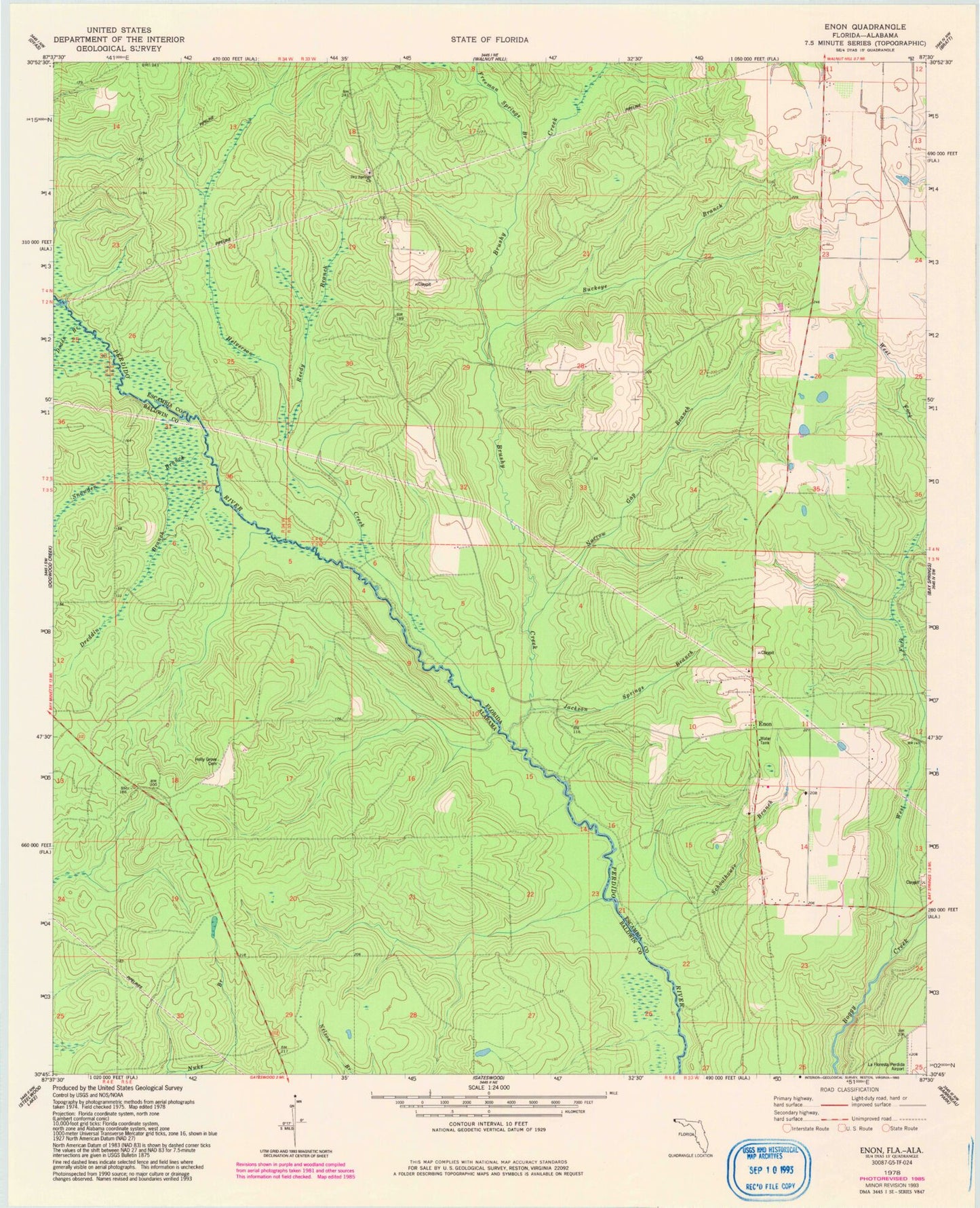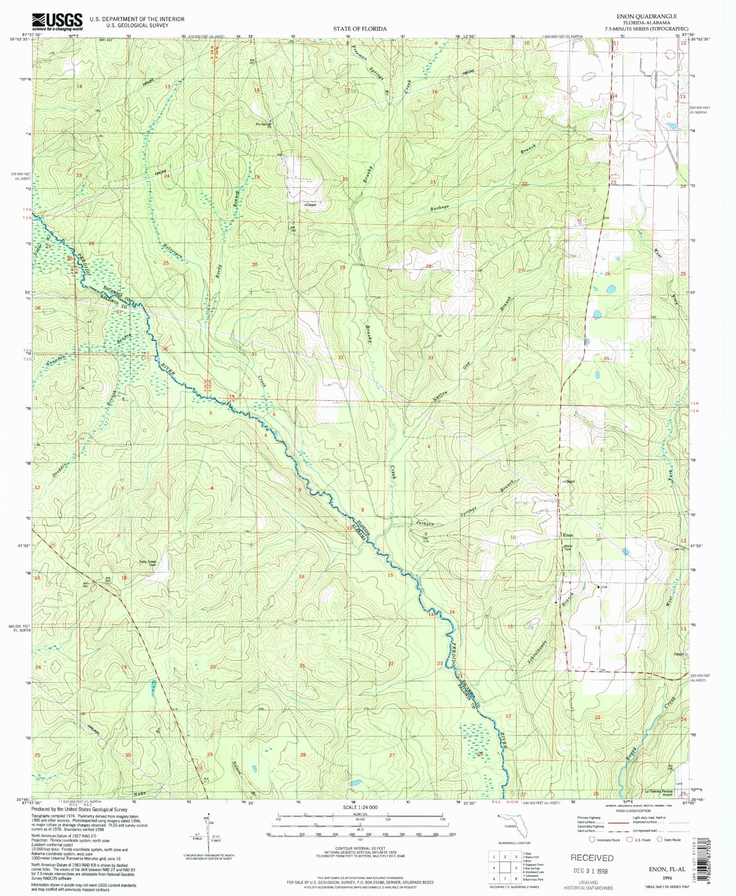

MyTopo
Classic USGS Enon Florida 7.5'x7.5' Topo Map
Couldn't load pickup availability
Historical USGS topographic quad map of Enon in the states of Florida, Alabama. Map scale may vary for some years, but is generally around 1:24,000. Print size is approximately 24" x 27"
This quadrangle is in the following counties: Baldwin, Escambia.
The map contains contour lines, roads, rivers, towns, and lakes. Printed on high-quality waterproof paper with UV fade-resistant inks, and shipped rolled.
Contains the following named places: Boone Crossing, Brushy Creek, Buckeye Branch, Buckeye Railroad Station, Dodds Branch, Dreddin Branch, Dry Springs Church, Enon, Enon School, Freeman Springs Branch, Helverson Creek, Holly Grove Cemetery, Jackson Springs Branch, LaFlorestra Perdido Wildlife Management Area, Narrow Gap Branch, Reedy Branch, Schoolhouse Branch, Snowden Branch, West Fork Boggy Creek