MyTopo
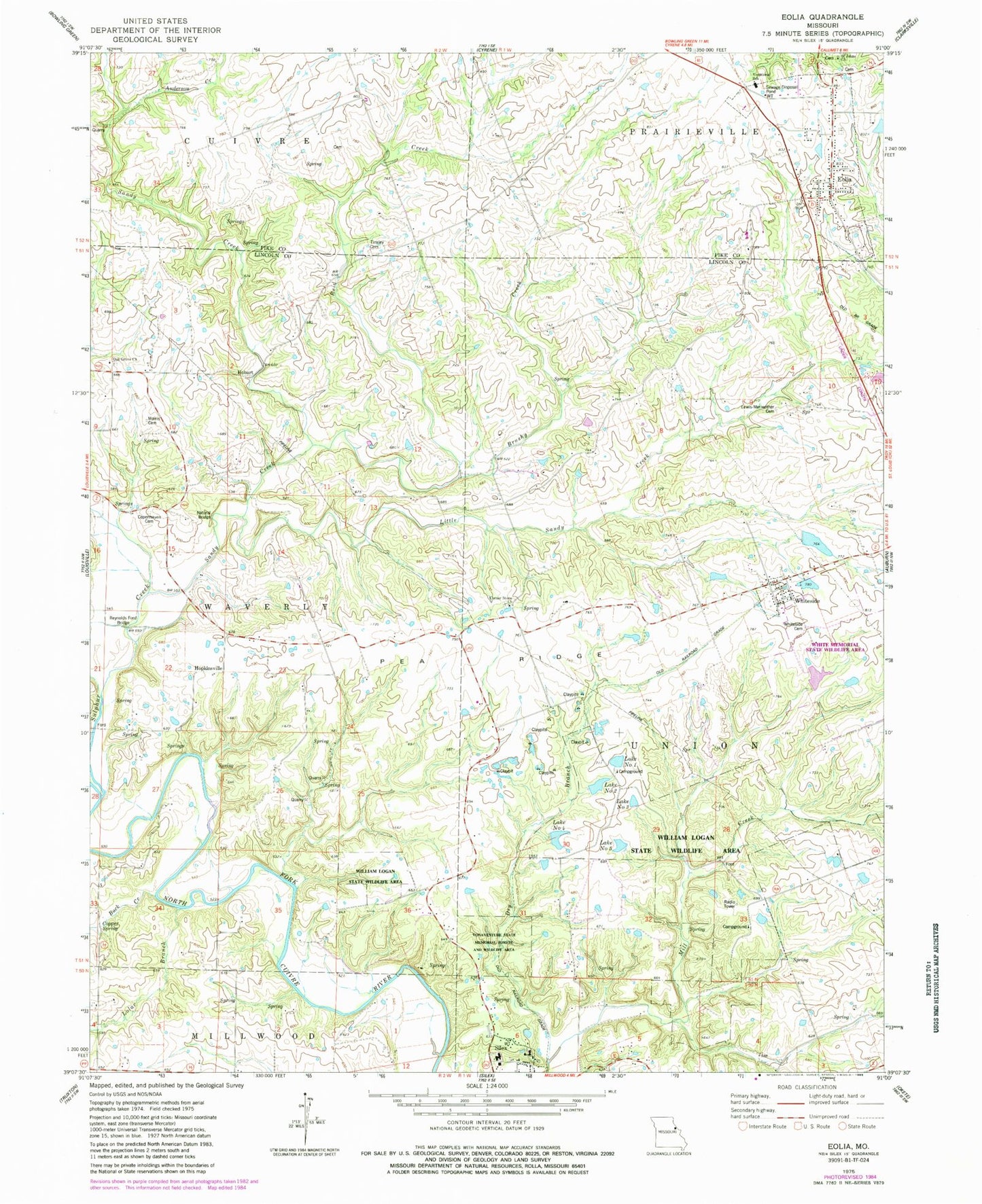
Classic USGS Eolia Missouri 7.5'x7.5' Topo Map
Couldn't load pickup availability
Historical USGS topographic quad map of Eolia in the state of Missouri. Map scale may vary for some years, but is generally around 1:24,000. Print size is approximately 24" x 27"
This quadrangle is in the following counties: Lincoln, Pike.
The map contains contour lines, roads, rivers, towns, and lakes. Printed on high-quality waterproof paper with UV fade-resistant inks, and shipped rolled.
Contains the following named places: Anderson Creek, Brushy Creek, Buck Creek, Copenhaven Cemetery, Copper Spring, Corner Stone Cemetery, Corner Stone Church, Dry Branch, Eolia, Eolia Community Fire Protection District, Eolia Post Office, Hobart, Hopkinsville, Lewis - Meriwether Cemetery, Liles Hall School, Little Sandy Creek, Lolar Branch, Luecke Lake, Luecke Lake Dam, Morris Cemetery, Northwest Fire Protection District, Number Five Lake, Number Four Lake, Number One Lake, Number Three Lake, Number Two Lake, Oak Grove Cemetery, Oak Grove Church, Oak Grove School, Old Negro Pond, Pea Ridge, Pea Ridge School, Pike-Lincoln Technical Center, Prairie Flower School, Reid Creek, Reynolds Ford Bridge, Saint Johns Church, Sandy Creek, Sandy Creek Natural Bridge, Silex Elementary School, Silex High School, Silex Post Office, Sulphur Creek, Tinsley Cemetery, Township of Union, Village of Eolia, Village of Silex, Village of Whiteside, Vonaventure State Memorial Forest And, White Memorial Area Section 16 Lake Dam, White Memorial State Wildlife Area, Whiteside, Whiteside Cemetery, Whiteside Post Office, Whiteside School, William Logan State Wildlife Area, William Logan State Wildlife Area Lake, William Logan State Wildlife Area Lake Number 4 Dam, ZIP Codes: 63344, 63387


