MyTopo
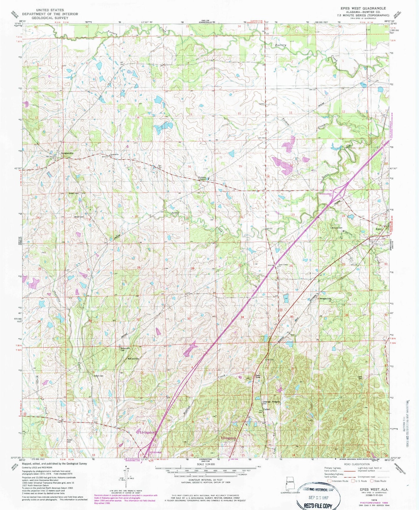
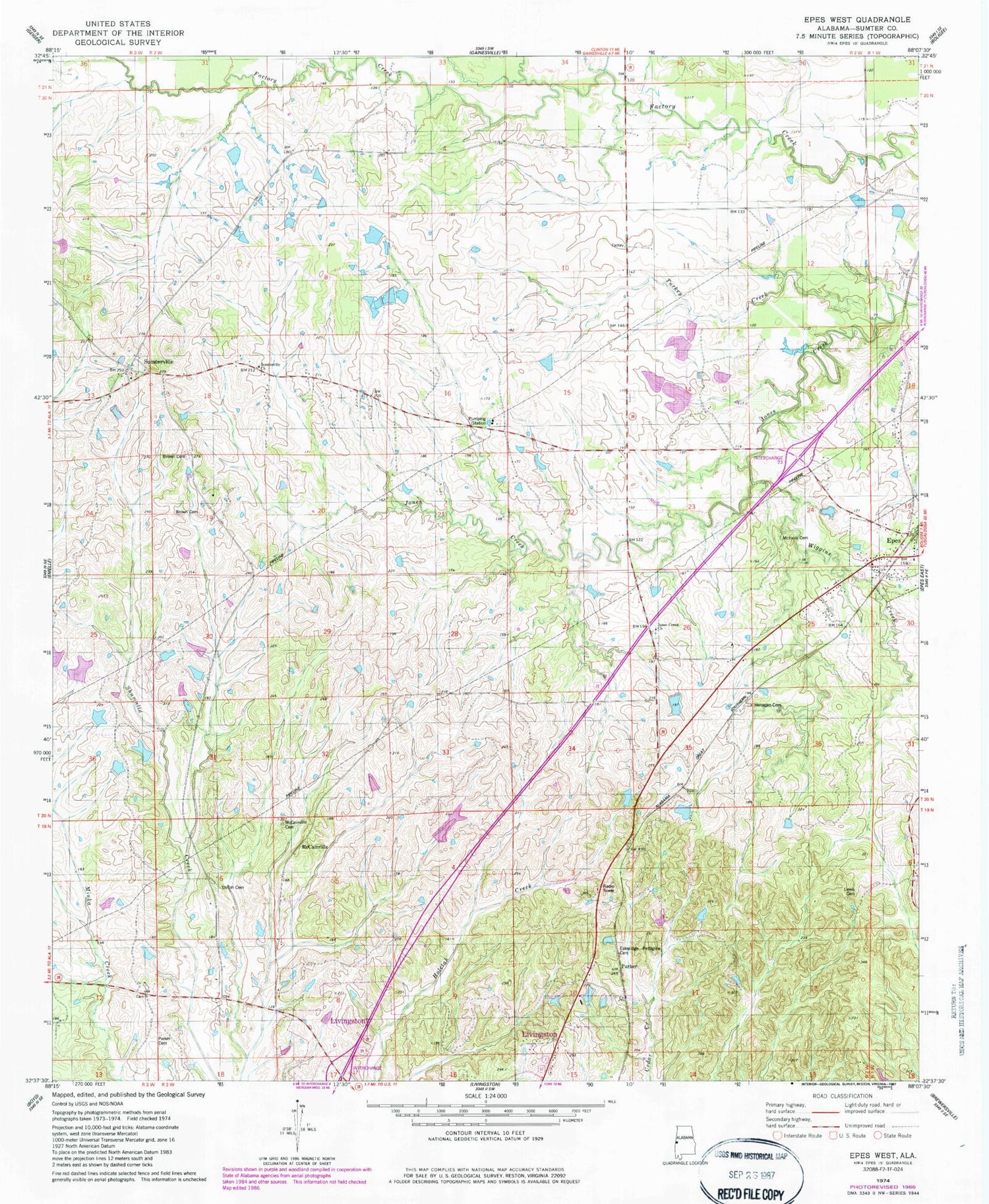
Classic USGS Epes West Alabama 7.5'x7.5' Topo Map
Couldn't load pickup availability
Historical USGS topographic quad map of Epes West in the state of Alabama. Map scale may vary for some years, but is generally around 1:24,000. Print size is approximately 24" x 27"
This quadrangle is in the following counties: Sumter.
The map contains contour lines, roads, rivers, towns, and lakes. Printed on high-quality waterproof paper with UV fade-resistant inks, and shipped rolled.
Contains the following named places: Bethel Church, Brown Cemetery, Brown Family Cemetery, Browns Chapel, Cockerell Branch, Epes, Epes Post Office, Epes Volunteer Fire Department, Eskeridge Pettigrew Cemetery, Ezell School, Harris Cemetery, Henagan Cemetery, Jones Creek Church, Jones Creek School, Lewis Cemetery, Little Rock Church, Livingston Division, McCainville, McCainville Cemetery, McCainville Creek, McInnis Cemetery, Parker, Parker Cemetery, Shiloh Baptist Church, Shiloh Cemetery, Shiloh School, Sumterville, Sumterville Baptist Church, Sumterville Church, Town of Epes, Turkey Creek, Wiggins Creek, ZIP Code: 35460