MyTopo
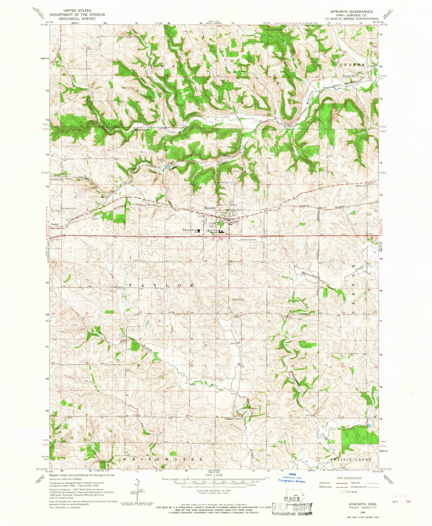
Classic USGS Epworth Iowa 7.5'x7.5' Topo Map
Couldn't load pickup availability
Historical USGS topographic quad map of Epworth in the state of Iowa. Map scale may vary for some years, but is generally around 1:24,000. Print size is approximately 24" x 27"
This quadrangle is in the following counties: Dubuque.
The map contains contour lines, roads, rivers, towns, and lakes. Printed on high-quality waterproof paper with UV fade-resistant inks, and shipped rolled.
Contains the following named places: Camp Little Cloud, Centennial Park, Channingville Post Office, City of Epworth, Divine Word College, Dubuque County, Epworth, Epworth Cemetery, Epworth Elementary School, Epworth Emergency Service, Epworth Fire Department, Epworth Police Department, Epworth Post Office, Epworth United Methodist Chuch, Grace Lutheran Church, Highview Cemetery, Hogan Cemetery, Hogans Branch, Johnson Cemetery, Kidder, Lattner Post Office, Lattnerville, Lattnerville Catholic Cemetery, Matthew Jacoby Memorial Library, Placid Post Office, Pleasant Grove, Saint Johns Catholic Church, Saint Johns Cemetery, Saint Johns Rectory School, Saint Joseph Catholic Cemetery, Saint Patrick Catholic Church, Saint Patricks Cemetery, Seton Catholic School, Township of Taylor, Western Dubuque High School, ZIP Code: 52045