MyTopo
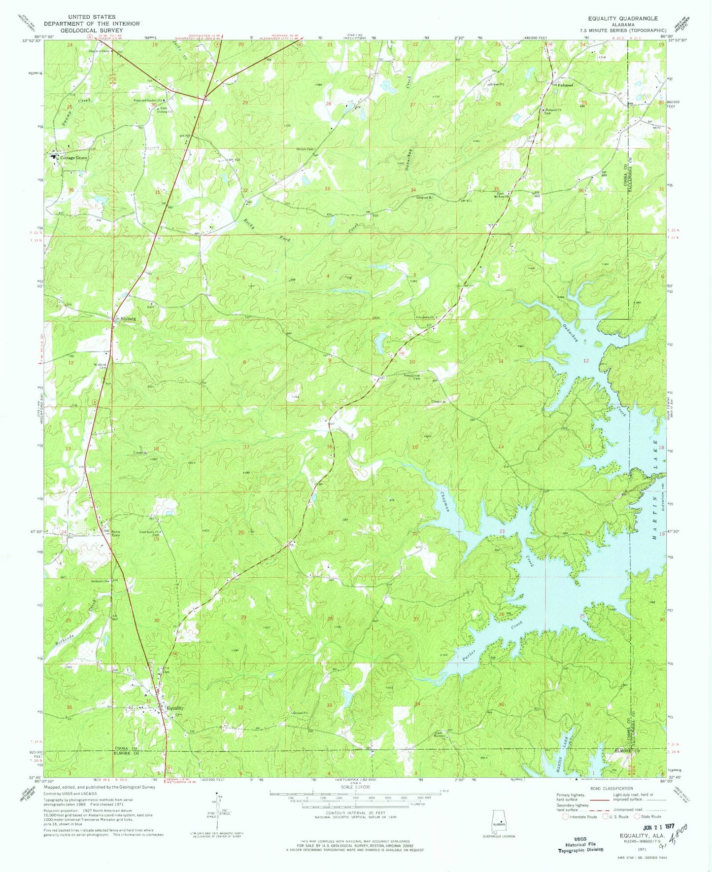
Classic USGS Equality Alabama 7.5'x7.5' Topo Map
Couldn't load pickup availability
Historical USGS topographic quad map of Equality in the state of Alabama. Map scale may vary for some years, but is generally around 1:24,000. Print size is approximately 24" x 27"
This quadrangle is in the following counties: Coosa, Elmore, Tallapoosa.
The map contains contour lines, roads, rivers, towns, and lakes. Printed on high-quality waterproof paper with UV fade-resistant inks, and shipped rolled.
Contains the following named places: Bethel Cemetery, Bethel Primitive Baptist Church, Bethesda Baptist Church, Bethesda Cemetery, Bethesda Church, Chapman Creek, Church of Christ, Cottage Grove, Darden, David, Equality, Equality Cemetery, Equality Census Designated Place, Equality Junior High School, Equality Methodist Church, Equality Post Office, Equality Volunteer Fire Department, Ewell C Forbes Dam, Fishpond, Fishpond Cemetery, Fishpond Primitive Baptist Church, Friendship Church, Good Grove Church, Harmony Baptist Church, Harmony Cemetery, J D Thompson High School, J M Granger Dam, Kendrick Memorial Church, Morning Star Church, Mount Sinai Church, New Style Church, Newberrys Pond, Nixburg, Nixburg Cemetery, Nixburg Census Designated Place, Nixburg Methodist Church, Oakachoy Covered Bridge, Oakachoy Creek, Okchayi, Parker Creek, Parker Creek Marina, Parrish Pond, Peace and Goodwill Cemetery, Peace and Goodwill Church, Pine Grove Cemetery, Pine Grove Methodist Protestant Church, Rocky Ford Creek, Shiloh Baptist Church, Shiloh Cemetery, Tates Fish Camp