MyTopo
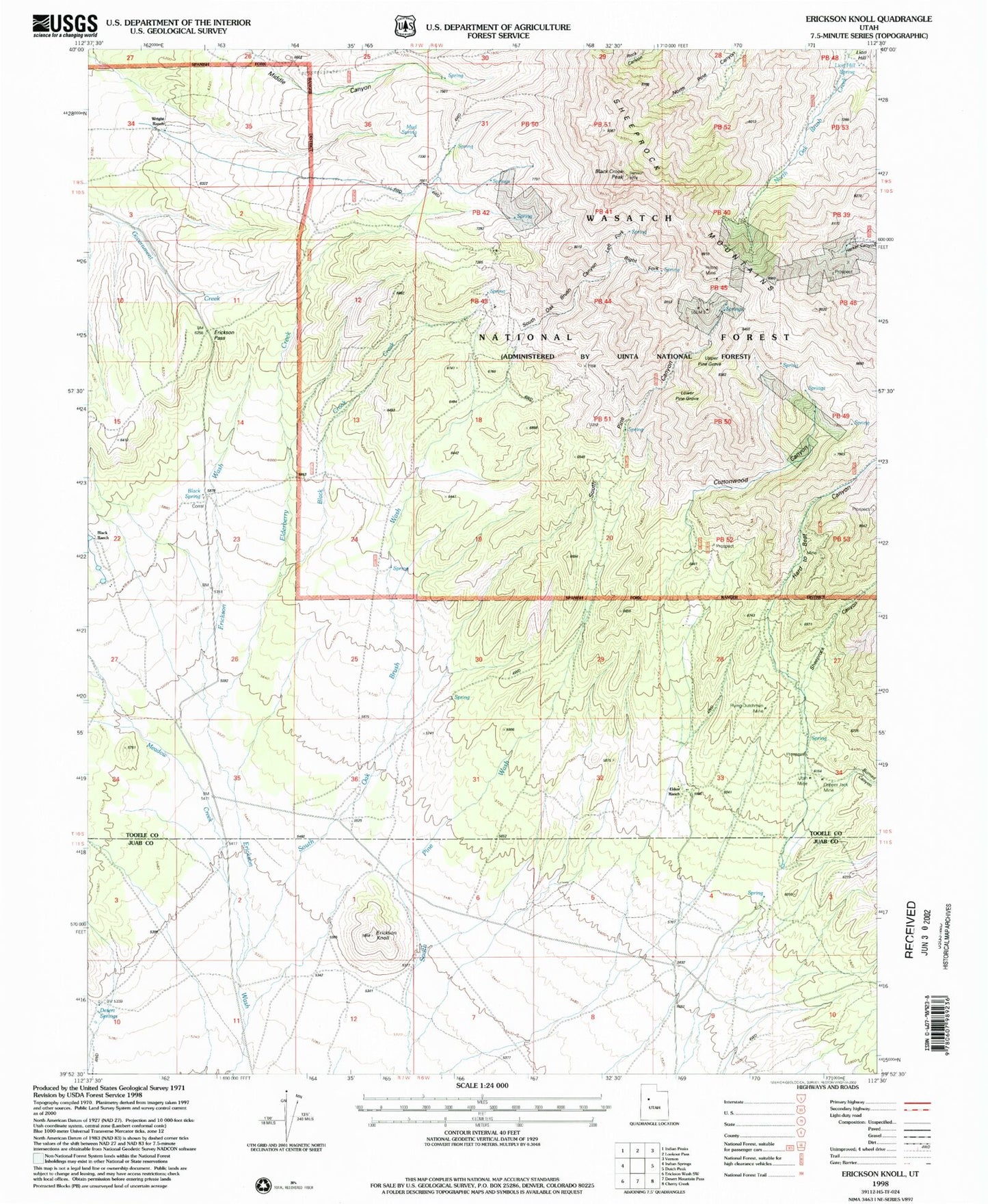
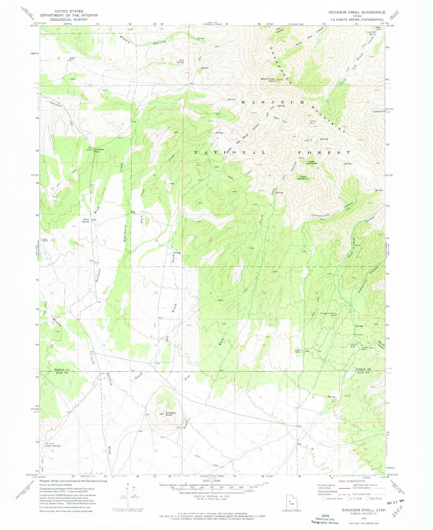
Classic USGS Erickson Knoll Utah 7.5'x7.5' Topo Map
Couldn't load pickup availability
Historical USGS topographic quad map of Erickson Knoll in the state of Utah. Map scale may vary for some years, but is generally around 1:24,000. Print size is approximately 24" x 27"
This quadrangle is in the following counties: Juab, Tooele.
The map contains contour lines, roads, rivers, towns, and lakes. Printed on high-quality waterproof paper with UV fade-resistant inks, and shipped rolled.
Contains the following named places: Black Crook Creek, Black Crook Peak, Black Ranch, Black Spring, Burned Canyon, Clinger Mine, Copper Jack Mine, Cottonwood Canyon, Desert Springs, Ekker Ranch, Elderberry Creek, Erickson Knoll, Erickson Pass, Flying Dutchman Mine, Hard to Beat Canyon, Hilltop Mine, Left Fork South Oak Brush Canyon, Lion Hill, Lion Hill Spring, Lower Pine Grove, Meadow Creek, Mud Spring, Right Fork South Oak Brush Canyon, Sheeprock Canyon, South Oak Brush Canyon, South Oak Brush Wash, South Pine Canyon, Upper Pine Grove, Utah Mine, Wright Ranch