MyTopo
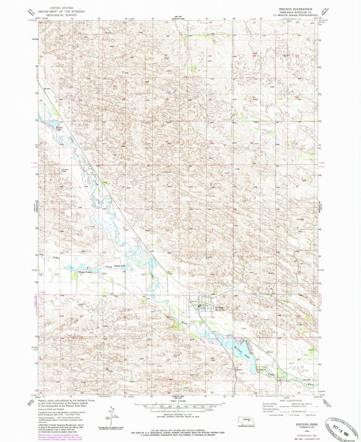
Classic USGS Ericson Nebraska 7.5'x7.5' Topo Map
Couldn't load pickup availability
Historical USGS topographic quad map of Ericson in the state of Nebraska. Map scale may vary for some years, but is generally around 1:24,000. Print size is approximately 24" x 27"
This quadrangle is in the following counties: Wheeler.
The map contains contour lines, roads, rivers, towns, and lakes. Printed on high-quality waterproof paper with UV fade-resistant inks, and shipped rolled.
Contains the following named places: Cedar Creek, Dry Cedar Creek, Ericson, Ericson Dam, Ericson Election Precinct, Ericson Grade School, Ericson Lake, Ericson Post Office, Ericson Reservoir, Ericson Volunteer Fire Department, Howart Lakes, Kruml Lake, Psotas Lake, Saint Theresas Catholic Church, Sandhills Baptist Fellowship, School Number 32, School Number 42, Village of Ericson, X1 Ranch Airport