MyTopo
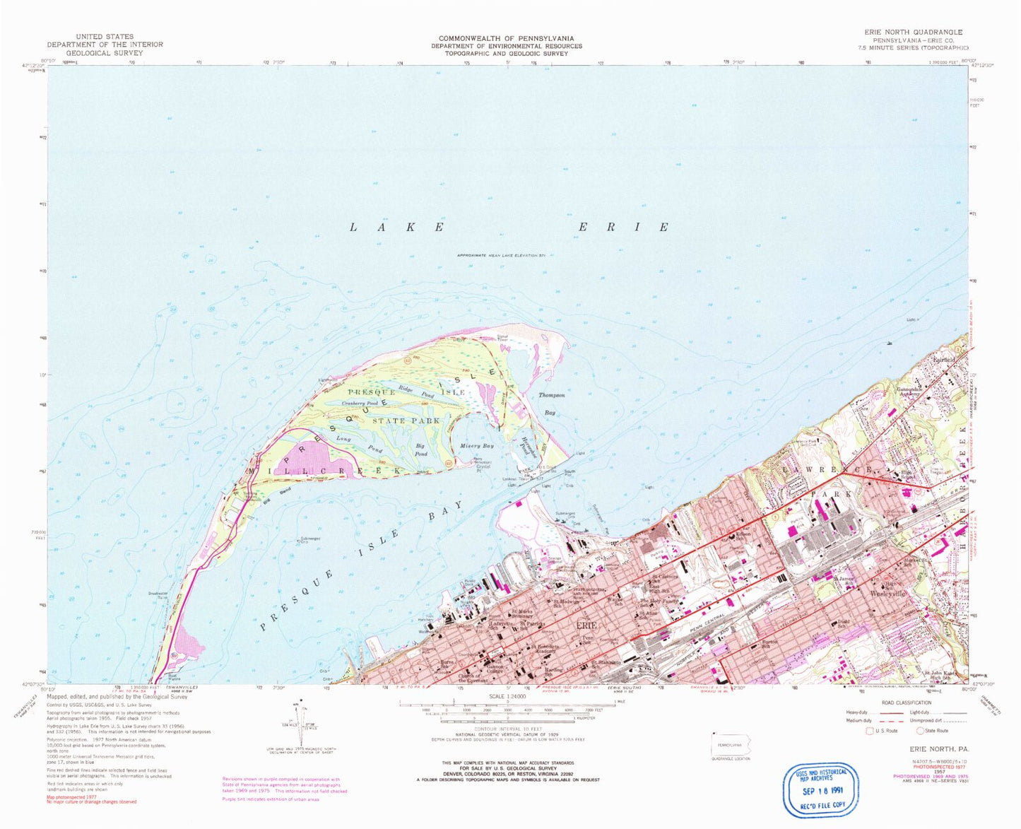
Classic USGS Erie North Pennsylvania 7.5'x7.5' Topo Map
Couldn't load pickup availability
Historical USGS topographic quad map of Erie North in the state of Pennsylvania. Map scale may vary for some years, but is generally around 1:24,000. Print size is approximately 24" x 27"
This quadrangle is in the following counties: -.
The map contains contour lines, roads, rivers, towns, and lakes. Printed on high-quality waterproof paper with UV fade-resistant inks, and shipped rolled.
Contains the following named places: Andrews Parks, Approach Turning Basin, Austin Dock Number Four, Bay Harbor Marina, Bayview Park, Bethany Evangelical Lutheran Church, Big Bend, Big Pond, Borough of Wesleyville, Burns School, Burton Elementary School, Chautauqua Park, Cherry Marina, Chimney Ponds, Church of the Covenant, Commodore Perry Yacht Club, Cranberry Pond, Cranch Park, Crystal Point, Diehl Elementary School, Dobbins Landing, East Erie Plaza, East Middle School, Eastway Plaza, Edison Elementary School, Erie, Erie County Public Library, Erie County Sheriff's Office, Erie Fire Department Engine Company 8, Erie Fire Department Station 10, Erie Harbor Entrance Channel, Erie Harbor Pier Light, Erie International Main Terminal, Erie Police Department, Erie Turning Basin, Euclid Park, Fairfield, Fairfield Hose Company Erie County Station 2, First United Methodist Church, Fourmile Creek, Franklin Park, Gannon University, Gannondale Residential Center for Girls, Garrison Hill, General Wayne Blockhouse, Gull Point, Gull Point Natural Area, Gull Point Trail, Hamot Medical Center Airport, Harbor Basin, Harbor Turning Basin, Harborcreek Mall, HealthSouth Rehabilitation Hospital of Erie, Holy Family School, Horseshoe Pond, Kosciuszko Park, Lafayette School, Lake Park, Lakeside Cemetery, Lakeside Park, Lakeview Hospital, Lampe Marina, Lawrence Park, Lawrence Park Census Designated Place, Lawrence Park Fire Department Station 28, Lawrence Park Golf Club, Lawrence Park Township Police Department, Lighthouse Park, Long Pond, M D General Hospital, Market Street School, Messiah Lutheran Church, Mill Creek, Misery Bay, Niagara Park, Niagara Pond, Penn School, Pennsylvania Soldiers and Sailors Home, Pennsylvania Soldier's and Sailor's Home Cemetery, Pennsylvania State Police Troop E Headquarters and Erie Station, Perry Memorial House, Perry Monument, Perry Plaza, Perry Square, Pfeiffer - Burleigh Elementary School, Presque Isle, Presque Isle Lighthouse, Presque Isle State Park, Presque Isle State Park Marina, Presque Isle Yacht Club, Pulaski Park, Ridge Pond, Saint Anns School, Saint Benedicts Academy, Saint Casimirs School, Saint Hedwigs School, Saint James Catholic School, Saint John Kanty High School, Saint Marks Seminary, Saint Mary's Episcopal Church, Saint Patricks School, Saint Paul's Cathedral Columbarium, Saint Stanislaus School, South Pier, Thompson Bay, Township of Lawrence Park, UPMC Hamot Medical Center, Warner Theatre, Wayne Blockhouse, Wayne Park, Wayne School, WERG-FM (Erie), Wesleyville, Wesleyville Cemetery, Wesleyville Hose Company Station 30, Wesleyville Police Department, West Branch Cascade Creek, ZIP Codes: 16503, 16505, 16507


