MyTopo
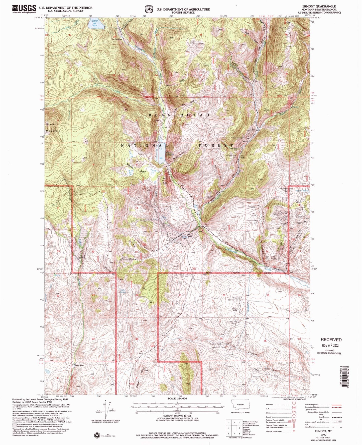
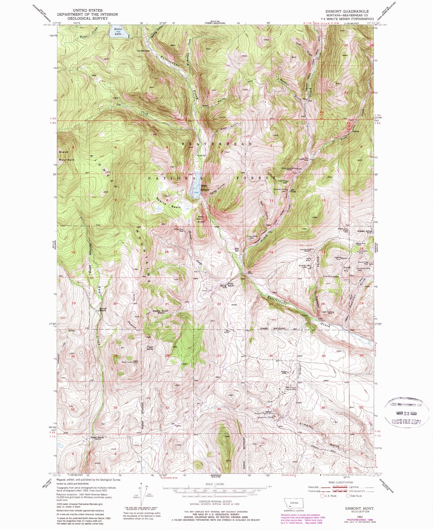
Classic USGS Ermont Montana 7.5'x7.5' Topo Map
Couldn't load pickup availability
Historical USGS topographic quad map of Ermont in the state of Montana. Typical map scale is 1:24,000, but may vary for certain years, if available. Print size: 24" x 27"
This quadrangle is in the following counties: Beaverhead.
The map contains contour lines, roads, rivers, towns, and lakes. Printed on high-quality waterproof paper with UV fade-resistant inks, and shipped rolled.
Contains the following named places: Argenta Guard Station, Argenta Mine, Argenta Spring, Badger Mine, Bear Gulch, Best Spring, Carbonate Mine, Carroll Ranch, Clarks Canyon, Cross Mine, Discovery Mine, Dutchman Mine, Ermont Mill, Golden Era Mine, Goodview Mine, Gozad Ranch, Ground Hog Mine, Jack Mine, Kearns Basin, Kearns Creek, Kelley Gulch, Kelley Reservoir, Legal Tender Mine, Little Bear Gulch, Stapleton Gulch, McMannis Creek, Midnight Mine, Park Mine, Pilon Ranch, Red Butte, Red Gulch, Rena Mine, Silver Rule Mine, Sylvia Mine, Taylor Spring, The Sandbar, Trout Creek, Watson Gulch, Watt Gulch, Cat Creek, Estler Lake, French Creek, May Day Mine, Sawlog Gulch, Argenta Spring, Estler Lake Dam, Kelly Dam, Ermont Number 19 Mine, Ermont Number 2 Mine, Goldfinch Mine, Stinson Mine, Yellow Band Mine, Ermont Mill, Goodview Mine, Yellow Band Mine, Pilon Ranch Mine, Gold Finch Mine, French Creek Mine, Discovery Mine, Park Mine, Trout Creek Mine, Stinson Mine, Silver Rule Mine, Golden Era Mine, Badger Mine, Ermont Number 19 Mine, NW Ermont Mine, East Ermont Mine, Watson Gulch Mine, NE Section 24 Mine, Madison Mine, May Day Mine, Starlight Mine, Storm King Mine, Legal Tender Mine, Pay Day Mine, Comstock Mine, Cross Mine, SE Section 21 Mine, Florence Mine


