MyTopo
Classic USGS Ernul North Carolina 7.5'x7.5' Topo Map
Regular price
$16.95
Regular price
Sale price
$16.95
Unit price
per
Couldn't load pickup availability
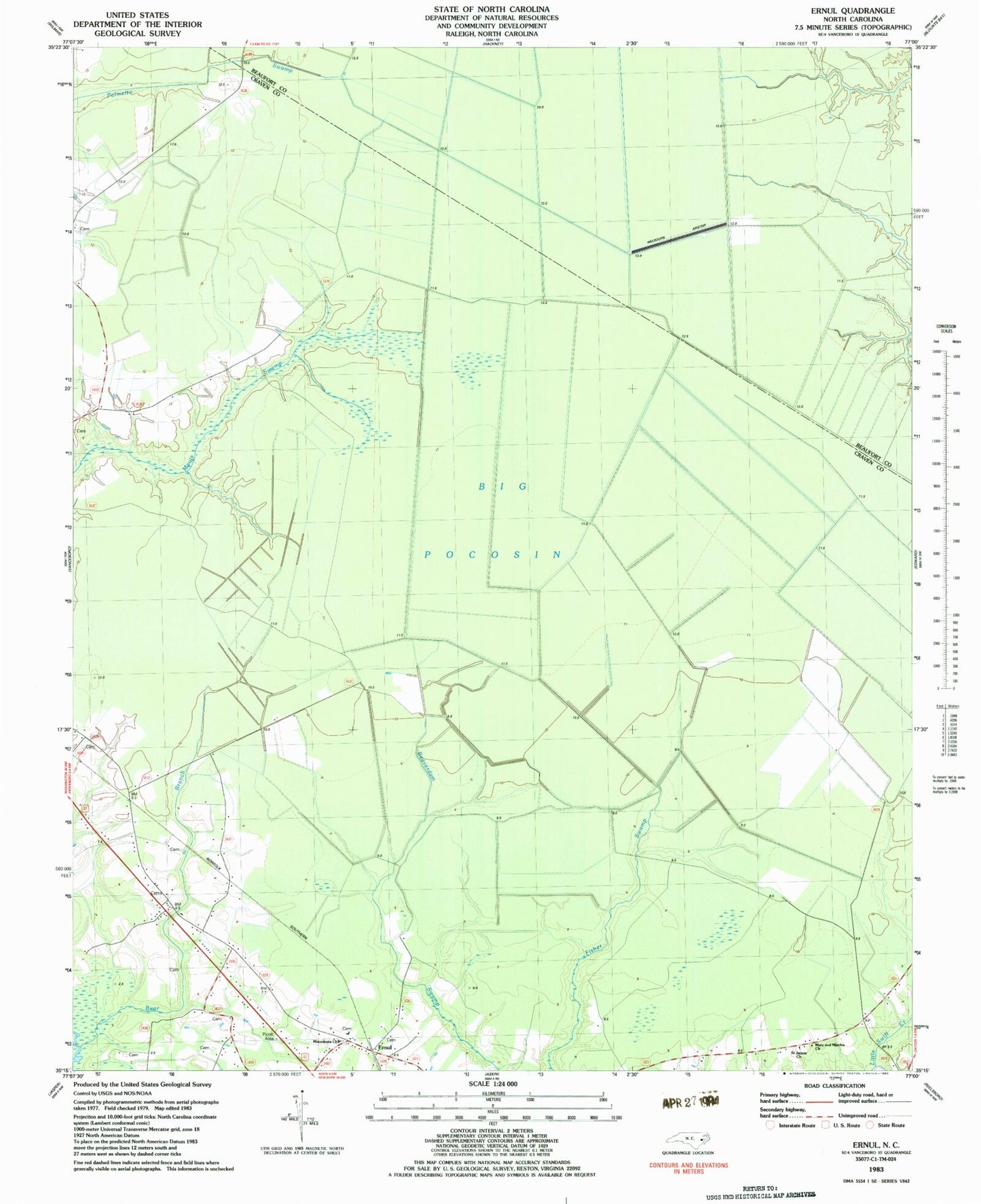
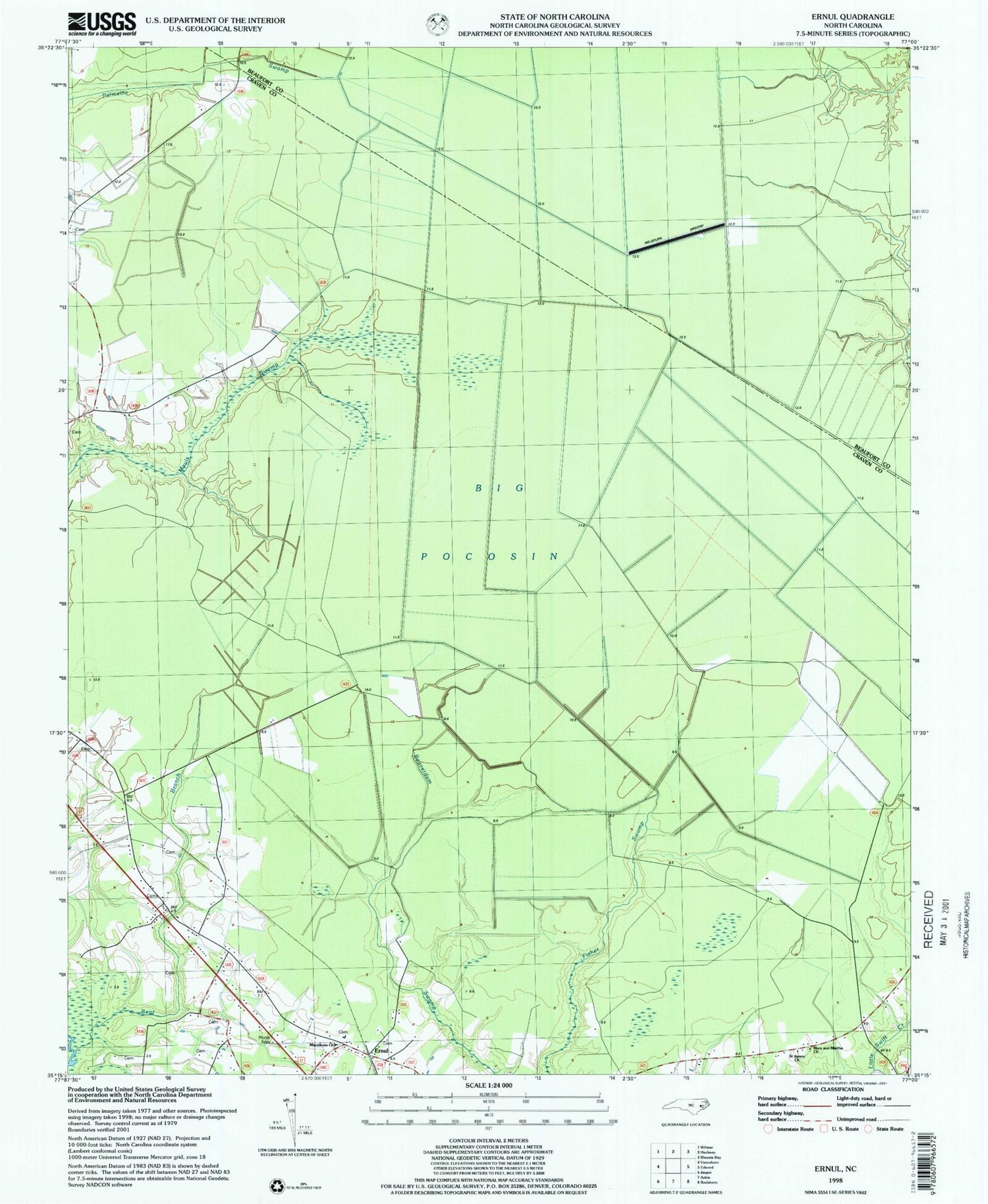
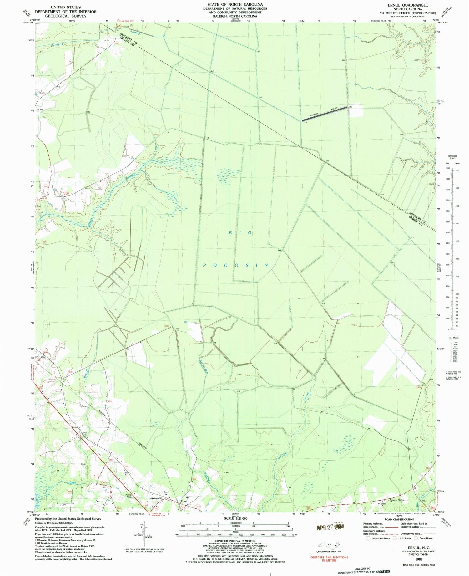
Historical USGS topographic quad map of Ernul in the state of North Carolina. Map scale may vary for some years, but is generally around 1:24,000. Print size is approximately 24" x 27"
This quadrangle is in the following counties: Beaufort, Craven.
The map contains contour lines, roads, rivers, towns, and lakes. Printed on high-quality waterproof paper with UV fade-resistant inks, and shipped rolled.
Contains the following named places: Big Pocosin, Cove Landing, Craven Correctional Institution, Ernul, Ernul Post Office, Little Swift Creek Volunteer Fire Department, Macedonia Church, Mary and Martha Church, Pine Tree Swamp, Saint James Church, Welbourn Airport, ZIP Code: 28527