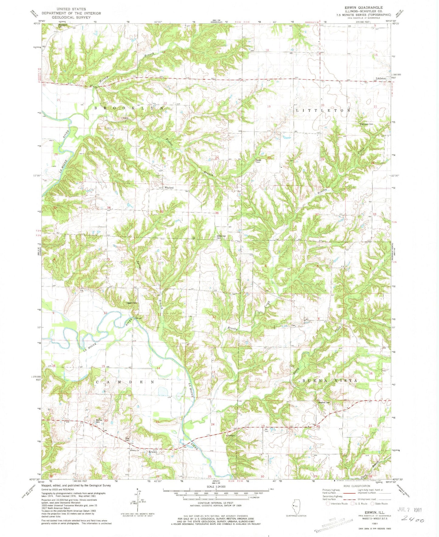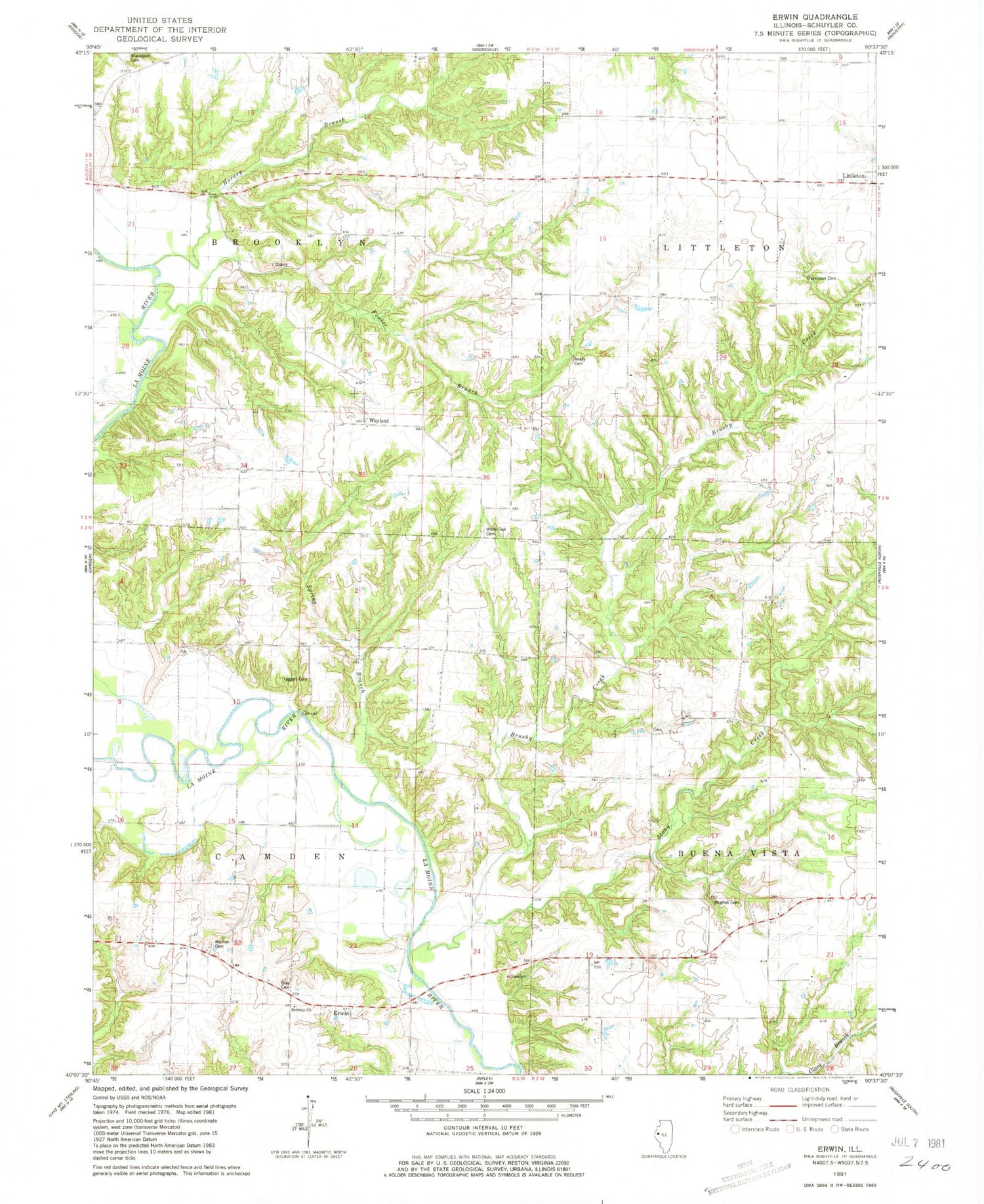
MyTopo
Classic USGS Erwin Illinois 7.5'x7.5' Topo Map
Couldn't load pickup availability
Historical USGS topographic quad map of Erwin in the state of Illinois. Map scale may vary for some years, but is generally around 1:24,000. Print size is approximately 24" x 27"
This quadrangle is in the following counties: Schuyler.
The map contains contour lines, roads, rivers, towns, and lakes. Printed on high-quality waterproof paper with UV fade-resistant inks, and shipped rolled.
Contains the following named places: Bethany Church, Brushy Creek, Corinth School, Davis School, Egypt School, Erwin, Fowler Branch, Gray Cemetery, Hale Cemetery, Hale Ridge, Hale Ridge School, Honey Branch, Hughes Cemetery, Independence School, Marlow Cemetery, Mount Zion Church, Muley School, Neidy Cemetery, Oakwood School, Pit 1 Cedar Creek Mine, Pit 5 Cedar Creek Mine, Pit 7 Cedar Creek Mine, Spring Creek, Stony Creek, Taggart Cemetery, Thompson Cemetery, Township of Brooklyn, Township of Camden, Walker School, Wayland, West Union School, White Frame School, White Oak Cemetery, White Sulphur School, Whiteoak School, WKXQ-FM (Rushville), Young School, ZIP Codes: 61452, 62319