MyTopo
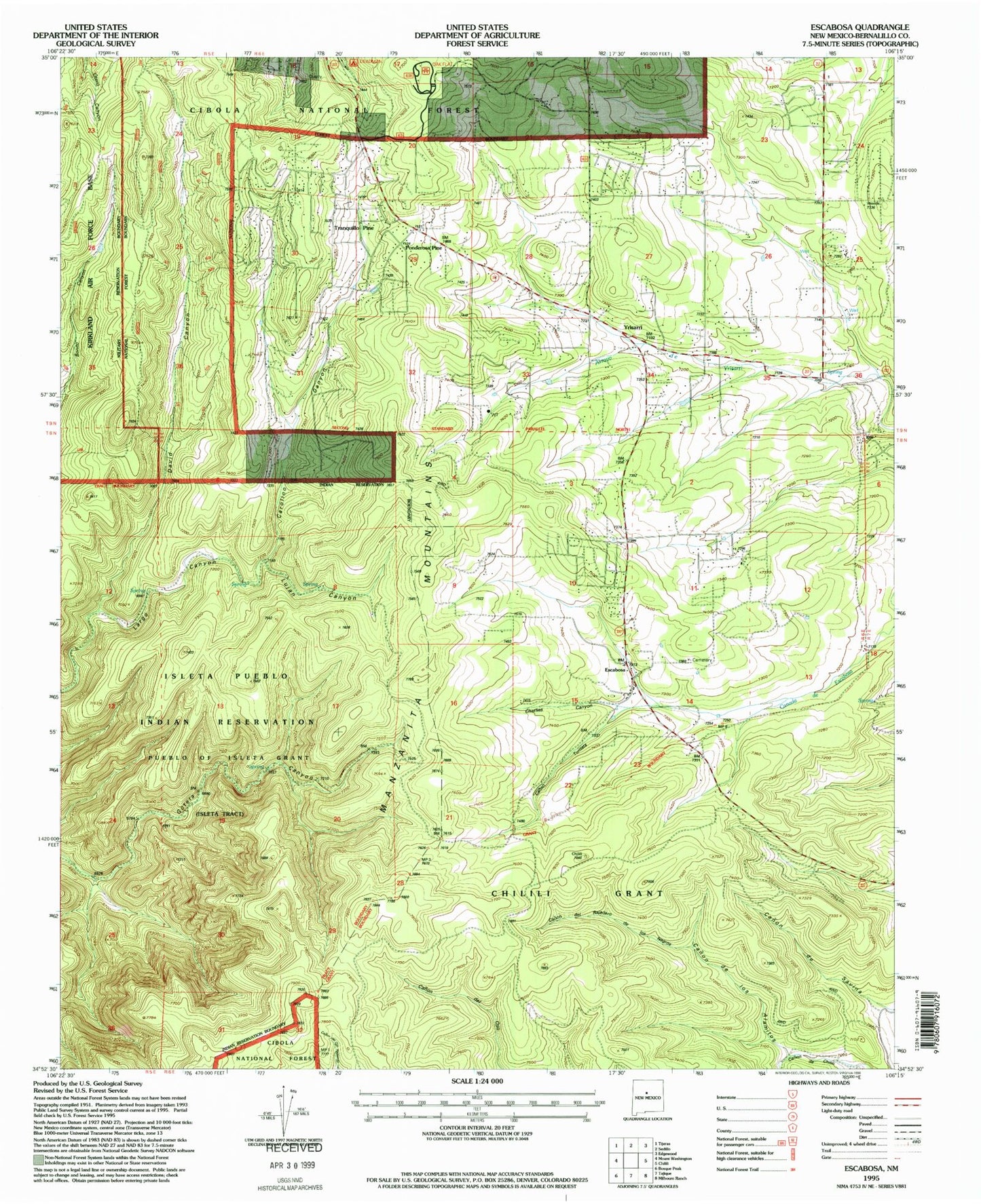
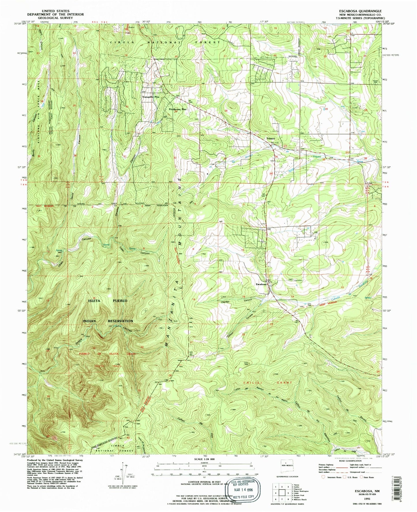
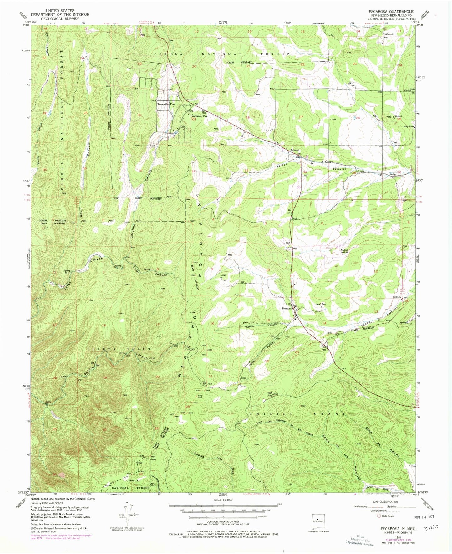
Classic USGS Escabosa New Mexico 7.5'x7.5' Topo Map
Couldn't load pickup availability
Historical USGS topographic quad map of Escabosa in the state of New Mexico. Map scale may vary for some years, but is generally around 1:24,000. Print size is approximately 24" x 27"
This quadrangle is in the following counties: Bernalillo.
The map contains contour lines, roads, rivers, towns, and lakes. Printed on high-quality waterproof paper with UV fade-resistant inks, and shipped rolled.
Contains the following named places: 10051 Water Well, 104 Water Well, 105 Water Well, 109 Water Well, 110 Water Well, 114 Water Well, 123 Water Well, 124 Water Well, 182 Water Well, 195 Water Well, 196 Water Well, 204 Water Well, 205 Water Well, 508 Water Well, 71 Water Well, 80 Water Well, 81 Water Well, 82 Water Well, 83 Water Well, 87059, Alley Place, Bernalillo County Fire and Rescue Station 11, Canon de los Alamitos, Canon de Rajadero de los Negros, Canon Turrieta, Carolino Canyon, Carolino Canyon Recreation Site, Charlies Canyon, David Canyon, Deadman Campground, Department 11 Water Well, E2290 Water Well, E-2750 Water Well, E-2759 Water Well, E-3176 Water Well, E-3829 Water Well, E-3868 Water Well, E-3928 Water Well, E-4147 Water Well, Escabosa, Escabosa Cemetery, Escabosa Post Office, Lujan Canyon, Miera, Oak Flat District Ranger Office, Oak Flat Recreation Site, Ojo de la Gotera, Ponderosa Pine, Ponderosa Pine Census Designated Place, RG-29443 Water Well, RG-32850 Water Well, RG-32865 Water Well, RG-32865-S Water Well, RG32865S-2 Water Well, RG-33179 Water Well, RG-35143 Water Well, RG-35320 Water Well, RG36912 Water Well, RG-36912 Water Well, RG38657 Water Well, RG-41674 Water Well, S-343 Water Well, Tranquillo Pine, Yrisarri


