MyTopo
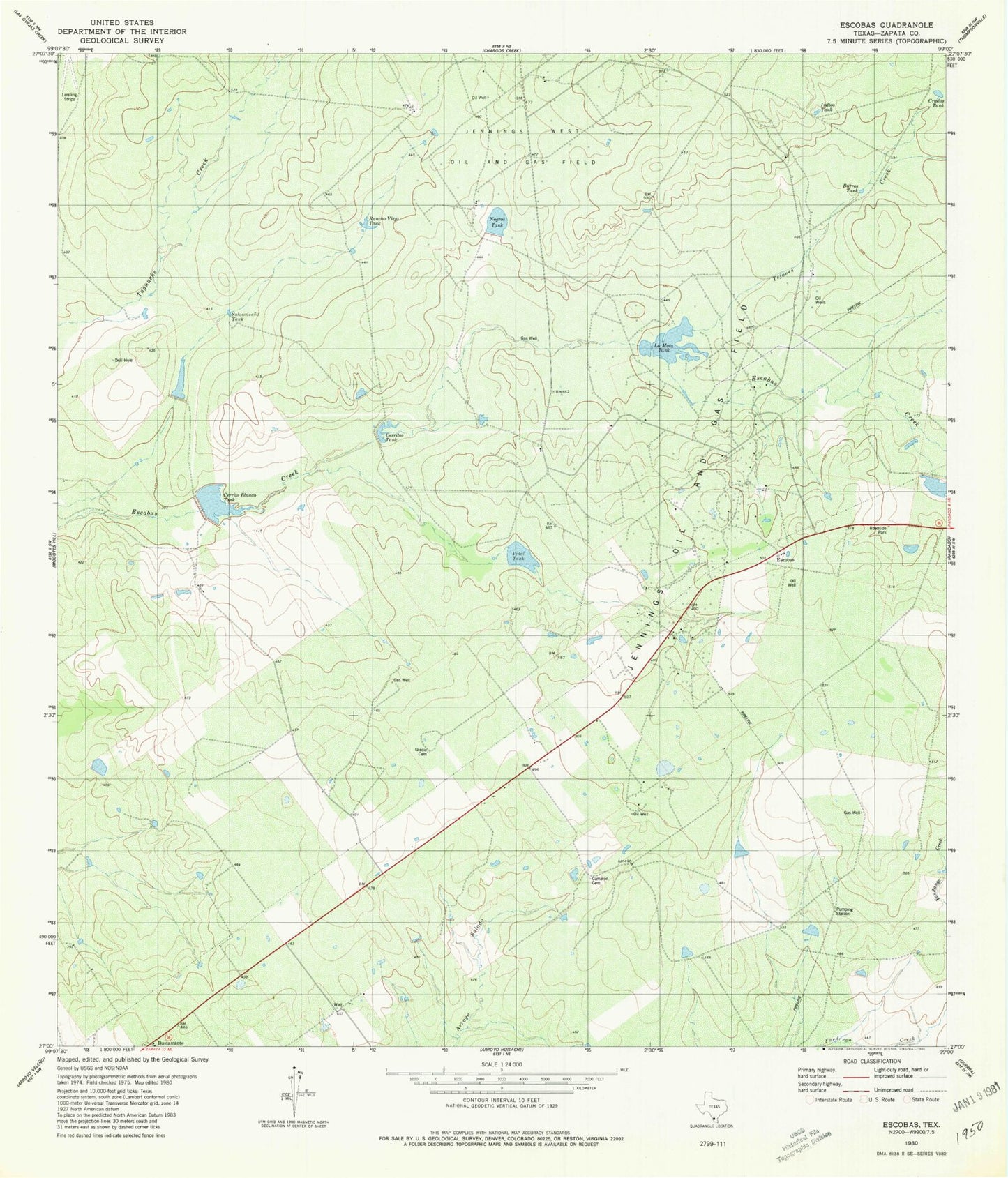
Classic USGS Escobas Texas 7.5'x7.5' Topo Map
Couldn't load pickup availability
Historical USGS topographic quad map of Escobas in the state of Texas. Map scale may vary for some years, but is generally around 1:24,000. Print size is approximately 24" x 27"
This quadrangle is in the following counties: Zapata.
The map contains contour lines, roads, rivers, towns, and lakes. Printed on high-quality waterproof paper with UV fade-resistant inks, and shipped rolled.
Contains the following named places: Burros Tank, Bustamante, Cameron Cemetery, Cerrito Blanco Tank, Cerritos Tank, Crudos Tank, Escobas, Garza Lake Number 2, Garza Lake Number 2 Dam, Gracia Cemetery, Indias Tank, La Mota Tank, Lauro Garza Lake Number 1, Lauro Garza Lake Number 1 Dam, Negras Tank, Rancho Viejo Tank, Salomoneno Tank, Tejones Creek, Tom East Lake, Tom East Lake Dam, Vidal Tank