MyTopo
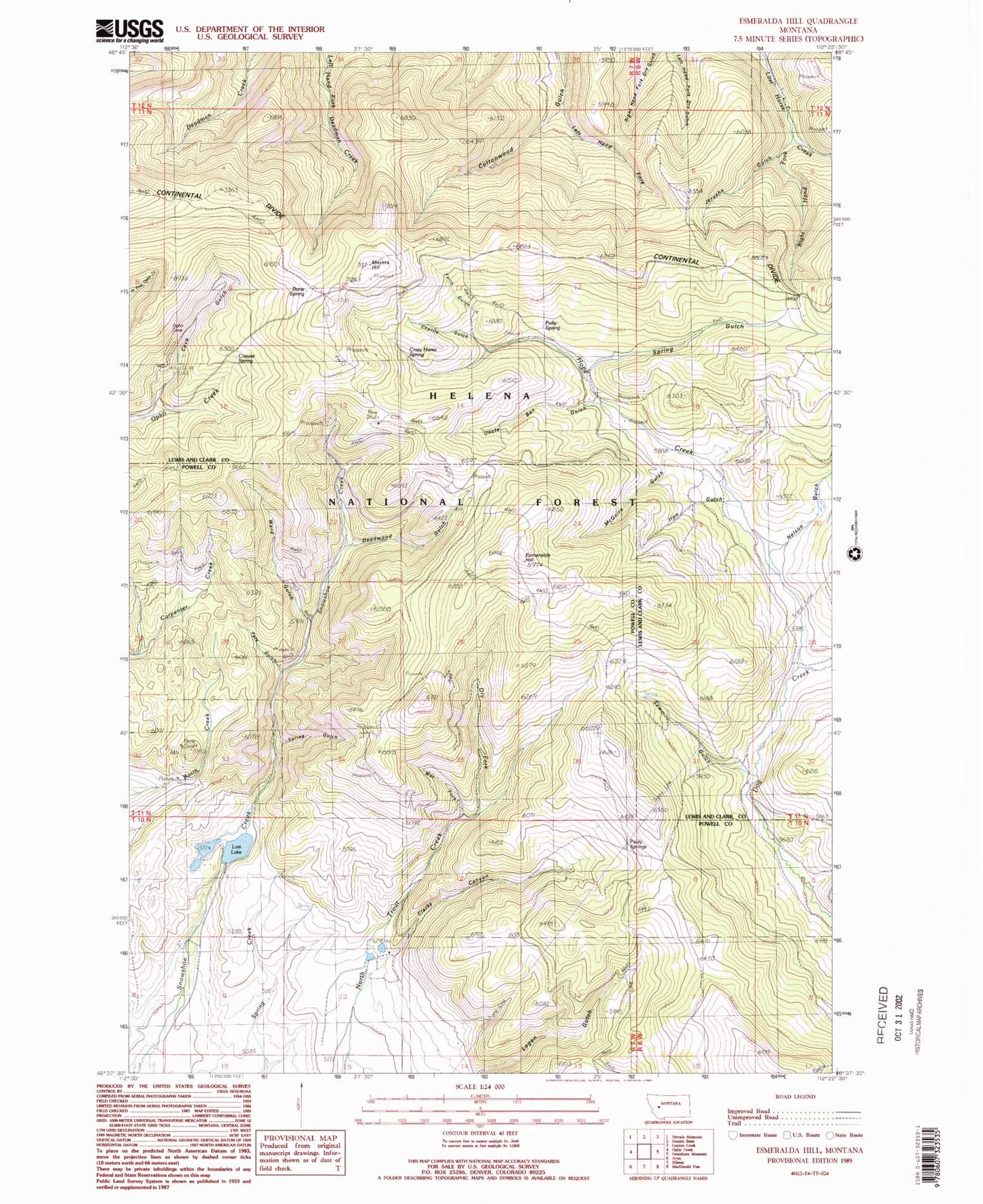
Classic USGS Esmeralda Hill Montana 7.5'x7.5' Topo Map
Couldn't load pickup availability
Historical USGS topographic quad map of Esmeralda Hill in the state of Montana. Map scale may vary for some years, but is generally around 1:24,000. Print size is approximately 24" x 27"
This quadrangle is in the following counties: Lewis and Clark, Powell.
The map contains contour lines, roads, rivers, towns, and lakes. Printed on high-quality waterproof paper with UV fade-resistant inks, and shipped rolled.
Contains the following named places: Betor Ranch, Cave Gulch, Cayuse Spring, Charity Gulch, Christopher Columbus Dam, Clarks Canyon, Crazy Horse Spring, Dana Spring, Deadwood Gulch, Dry Fork, Earthquake Mine, Empire Creek, Esmeralda Hill, Faith Gulch, Ferris, Hope Creek, Iron Gulch, Jerusha Gulch, Jerusha Millsite, Left Hand Fork Cottonwood Gulch, Lois Lake, McGuire Gulch, Meyers Hill, Nelson Gulch, NW SE Section 19 Mine, Pats Gulch, Pauly Springs, Polly Spring, Right Hand Fork Lost Horse Creek, Sawmill Gulch, Shamrock Mine, Snowshoe Dam, Spring Gulch, Uncle Ben Gulch, Ward Gulch, Wet Fork


