MyTopo
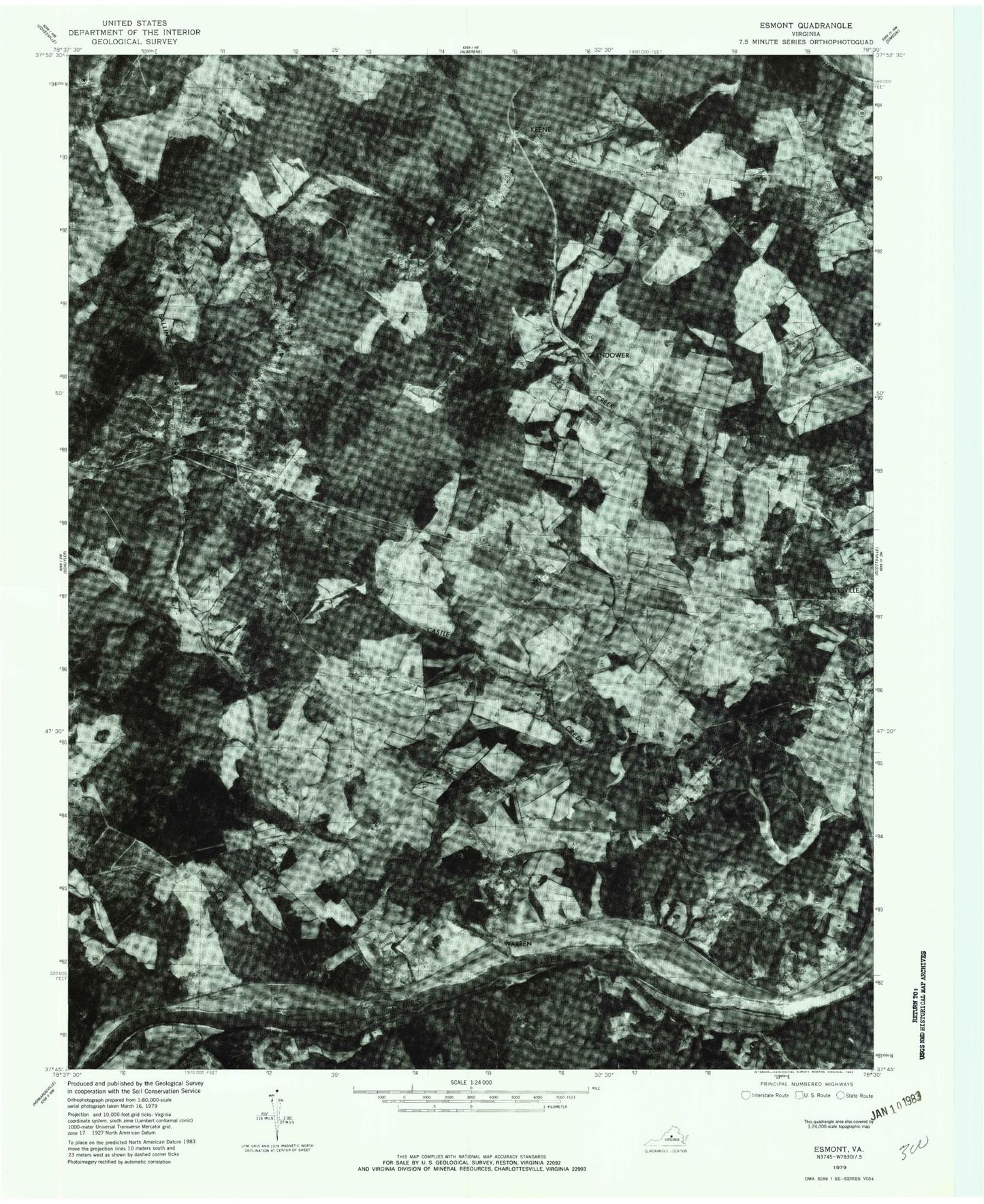
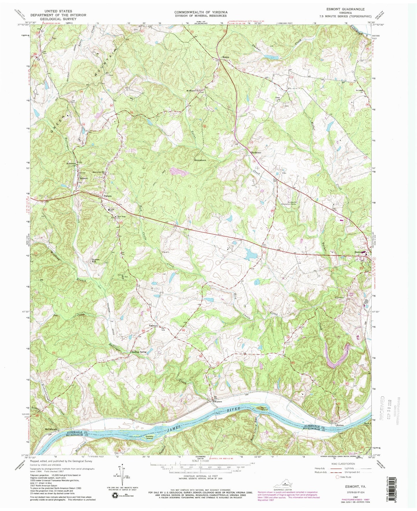
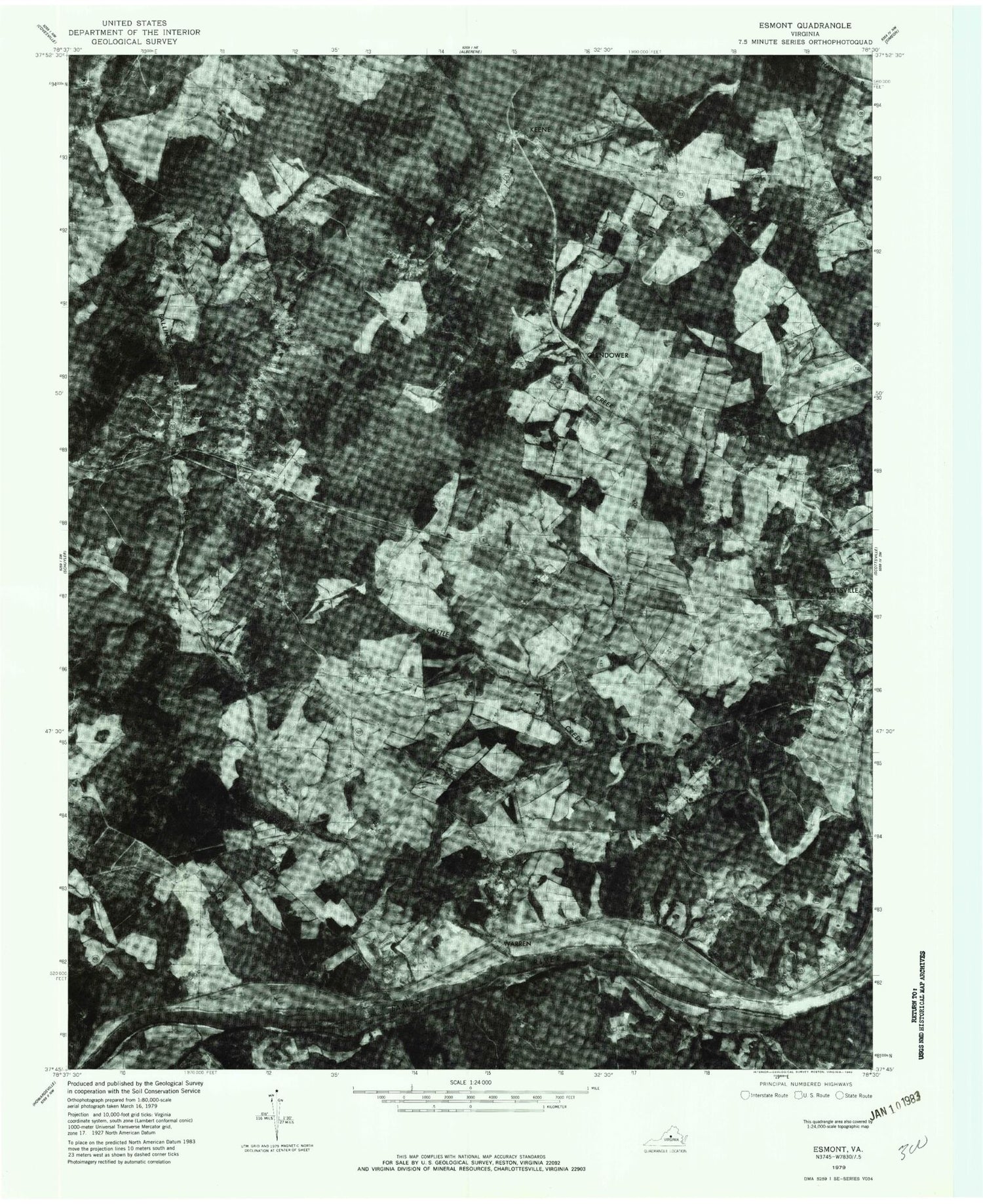
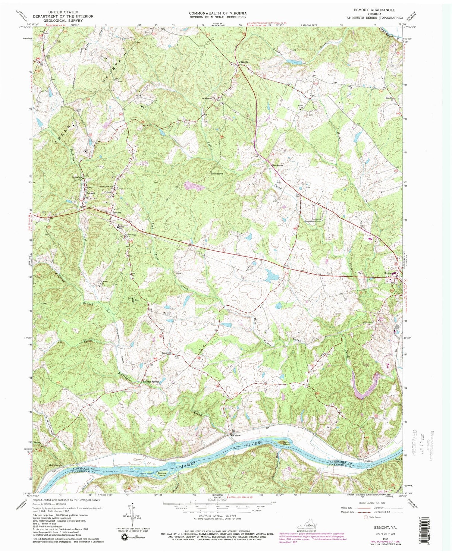
Classic USGS Esmont Virginia 7.5'x7.5' Topo Map
Couldn't load pickup availability
Historical USGS topographic quad map of Esmont in the state of Virginia. Typical map scale is 1:24,000, but may vary for certain years, if available. Print size: 24" x 27"
This quadrangle is in the following counties: Albemarle, Buckingham.
The map contains contour lines, roads, rivers, towns, and lakes. Printed on high-quality waterproof paper with UV fade-resistant inks, and shipped rolled.
Contains the following named places: Fallsburg Creek, Ballinger Creek, Brokenborough Creek, Christ Church, Dawson Mill, Goosby Island, Joe Creek, Mill Creek, Miller Creek, Mount Pleasant Church, Mount Zion Church, New Green Mountain Church, New Hope Church, Porters, Ramsey Creek, Rock Castle Creek, Rock Island, Rock Island Creek, Saint Johns Church, Saint Stephens Church, Scottsville Recreation Center, B F Yancey Elementary School, Wolftrap Branch, Keene, Tapscott, Totier Creek Dam, Totier Creek Reservoir, Vanclieffs Dam, Vanclieffs Lake, Allmans Dam, Allmans Pond, Stillfreds Dam, Stillfreds Pond, Stillfried Dam, Stillfried Pond, Delutz Dam, Delutz Pond, Boiling Spring, Browntown, Esmont, Glendower, Hatton, McCullough, Green Mountain, Warren, Hattons Ferry, Brownton (historical), Christ Church Cemetery, Donegal, Esmont Estate, Esmont Post Office, Fair View, Hatton School (historical), Keene Post Office, Mount Pleasant Cemetery, Mount Pleasant School (historical), Mount Zion Cemetery, New Hope Cemetery, Nydrie Farms, Old Woodville, Pine Knot, Plain Dealing, Saint Stephens Cemetery, Scottsville Volunteer Fire Department, Scottsville Elementary School, Scottsville Post Office, Scottsville Shopping Center, Southside Community Health Center, Totier Hills, Totier Creek Farm, Totier Creek Reservoir Park, Valmont Estates, Warren Mill, Warren School (historical), Saint Georges Cemetery, Scotland Farm, Valmont, Van Clief Family Cemetery, Scottsville Volunteer Fire Department, Scottsville Volunteer Rescue Squad Rescue 7, Esmont Census Designated Place, Grayson Airport


