MyTopo
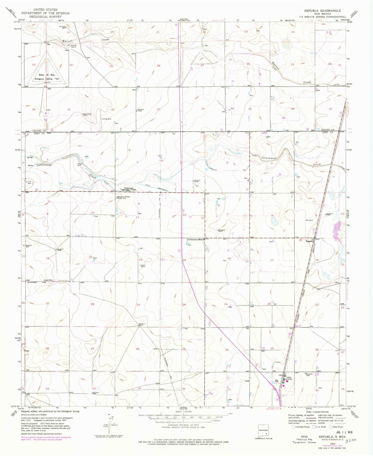
Classic USGS Espuela New Mexico 7.5'x7.5' Topo Map
Couldn't load pickup availability
Historical USGS topographic quad map of Espuela in the state of New Mexico. Map scale may vary for some years, but is generally around 1:24,000. Print size is approximately 24" x 27"
This quadrangle is in the following counties: Chaves, Eddy.
The map contains contour lines, roads, rivers, towns, and lakes. Printed on high-quality waterproof paper with UV fade-resistant inks, and shipped rolled.
Contains the following named places: 05332 Water Well, 05333 Water Well, 05334 Water Well, 05335 Water Well, 05336 Water Well, 07001 Water Well, 10329 Water Well, 10352 Water Well, 10353 Water Well, 10916 Water Well, 10924 Water Well, 10925 Water Well, 13555 Water Well, 13556 Water Well, 13558 Water Well, 13559 Water Well, 13560 Water Well, 13562 Water Well, 13563 Water Well, 13564 Water Well, 13566 Water Well, 13567 Water Well, 13568 Water Well, 13570 Water Well, 13571 Water Well, 13572 Water Well, 13592 Water Well, Caliche Pit, Cotton Compress, Cottonwood Artesian Recorder Well, Cottonwood Community Church, Cottonwood School, Cottonwood Volunteer Fire Department, Cottonwood Volunteer Fire Department Station 2, Espuela, O'Bannon Dam, Sweatt Pit, Twin Oaks Memorial Park


