MyTopo
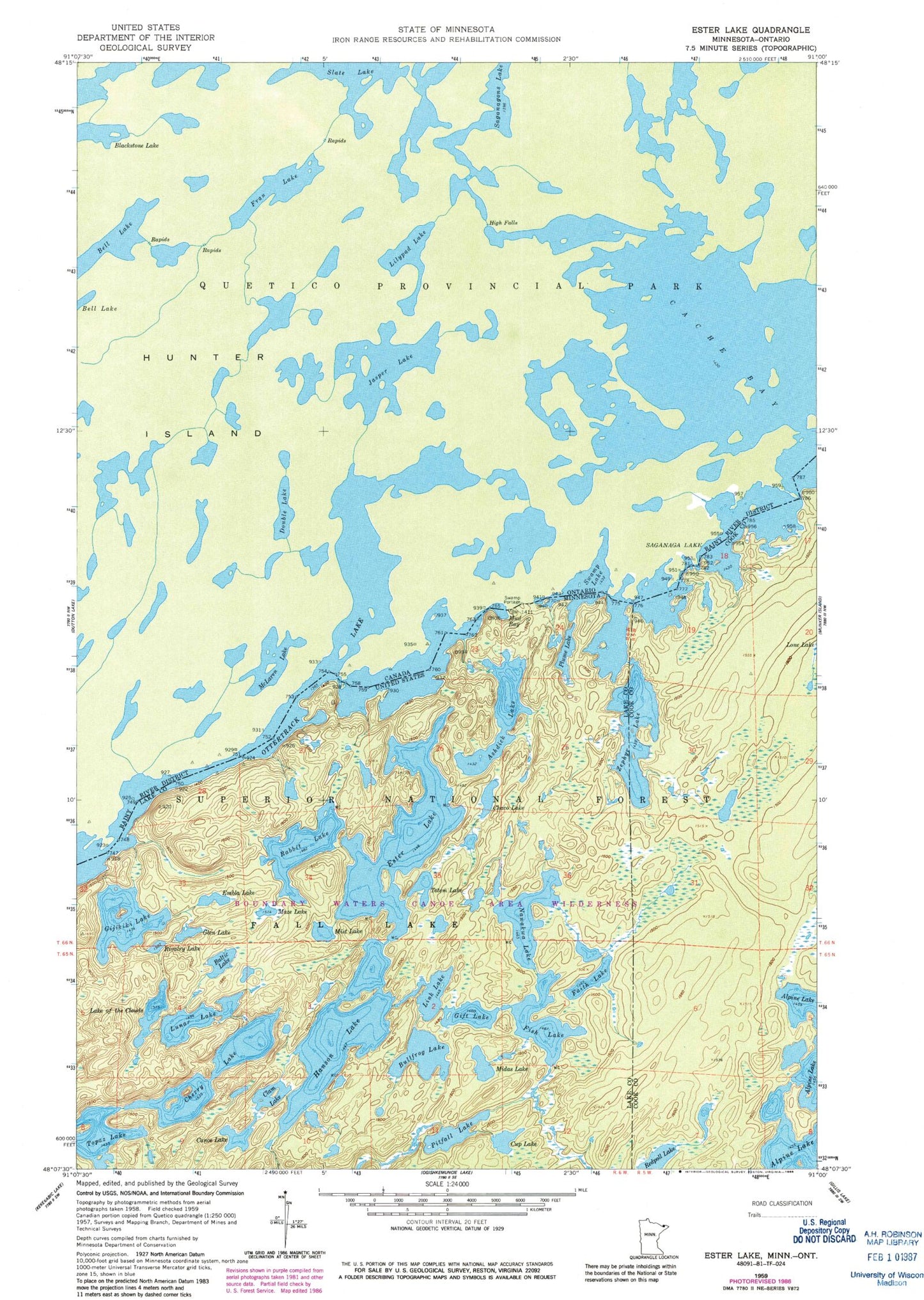
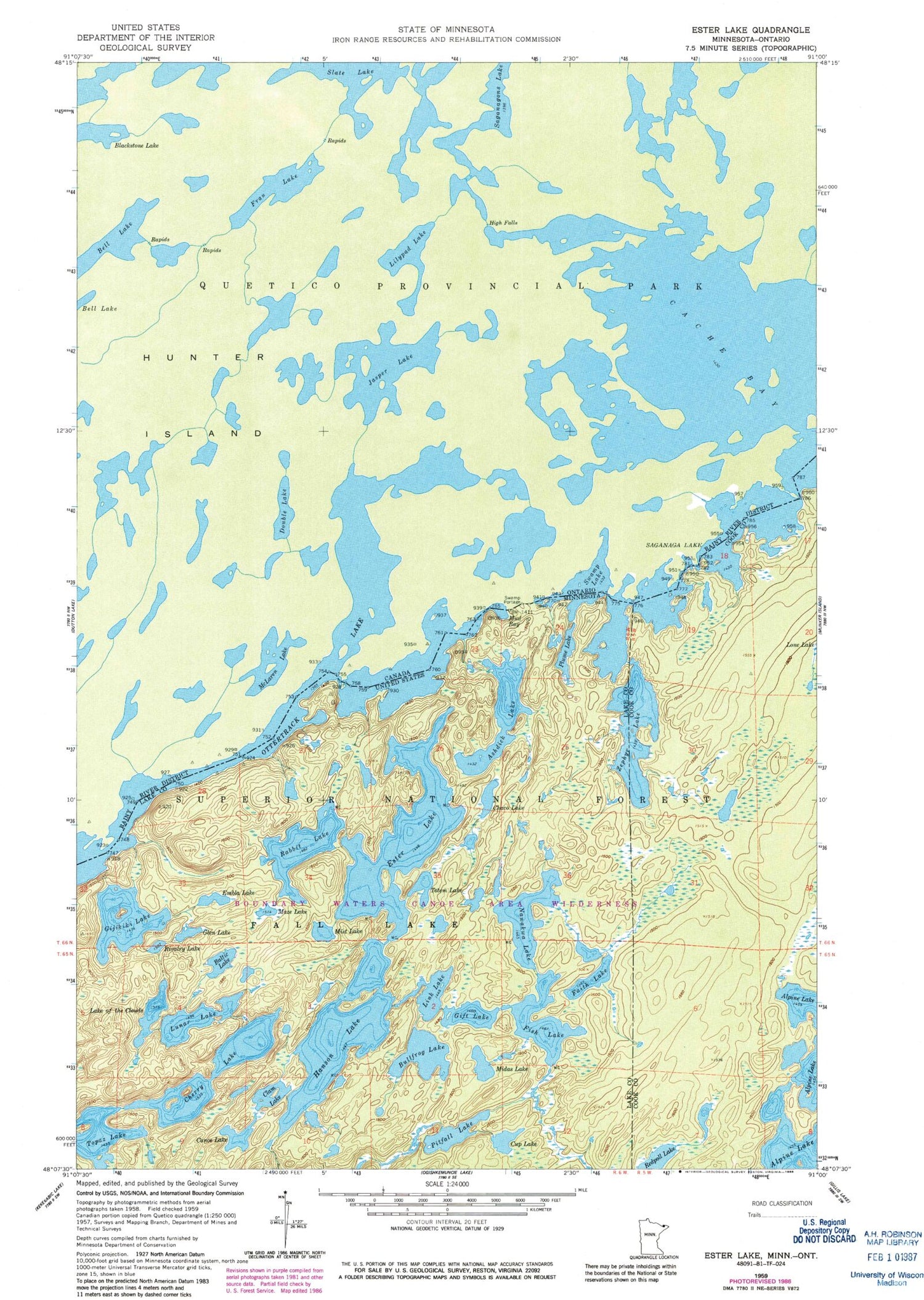
Classic USGS Ester Lake Minnesota 7.5'x7.5' Topo Map
Couldn't load pickup availability
Historical USGS topographic quad map of Ester Lake in the state of Minnesota. Typical map scale is 1:24,000, but may vary for certain years, if available. Print size: 24" x 27"
This quadrangle is in the following counties: Cook, Lake.
The map contains contour lines, roads, rivers, towns, and lakes. Printed on high-quality waterproof paper with UV fade-resistant inks, and shipped rolled.
Contains the following named places: Ashdick Lake, Baltic Lake, Bullfrog Lake, Canoe Lake, Chaco Lake, Cherry Lake, Clam Lake, Lake of the Clouds, Cup Lake, Ottertrack Lake, Embla Lake, Ester Lake, Faith Lake, Fish Lake, Gift Lake, Gijikiki Lake, Glen Lake, Hanson Lake, Link Lake, Lunar Lake, Maze Lake, Midas Lake, Mist Lake, Mud Bay, Nawakwa Lake, Pitfall Lake, Plume Lake, Rabbit Lake, Redpoll Lake, Rivalry Lake, Swamp Lake, Topaz Lake, Totem Lake, Zephyr Lake, Trust Lake, 'R' Lake (historical), Swamp Portage


