MyTopo
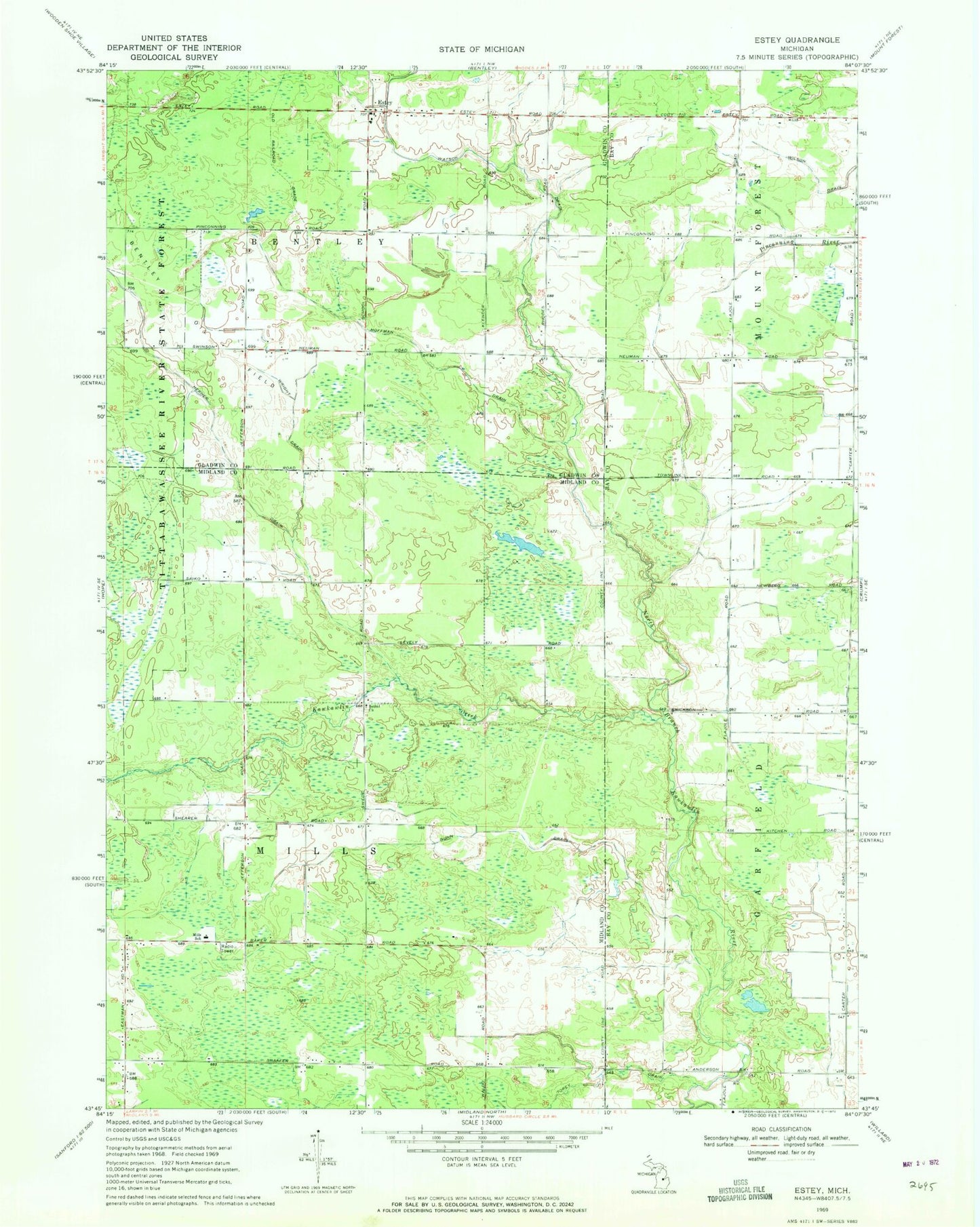
Classic USGS Estey Michigan 7.5'x7.5' Topo Map
Couldn't load pickup availability
Historical USGS topographic quad map of Estey in the state of Michigan. Map scale may vary for some years, but is generally around 1:24,000. Print size is approximately 24" x 27"
This quadrangle is in the following counties: Bay, Gladwin, Midland.
The map contains contour lines, roads, rivers, towns, and lakes. Printed on high-quality waterproof paper with UV fade-resistant inks, and shipped rolled.
Contains the following named places: Bentley Oil Field, Bethel Church, Bethel Church of the Nazarene, Brier Post Office, Estey, Estey Post Office, Glencoe Post Office, Gunn Drain, Herner Drain, Hoffman Drain, Kawkawlin Creek, Mills School, Mills Township Fire Department, Torey Drain, Township of Bentley, Township of Mills, Watson Drain, Wilson Drain, Wright Drain, ZIP Code: 48652