MyTopo
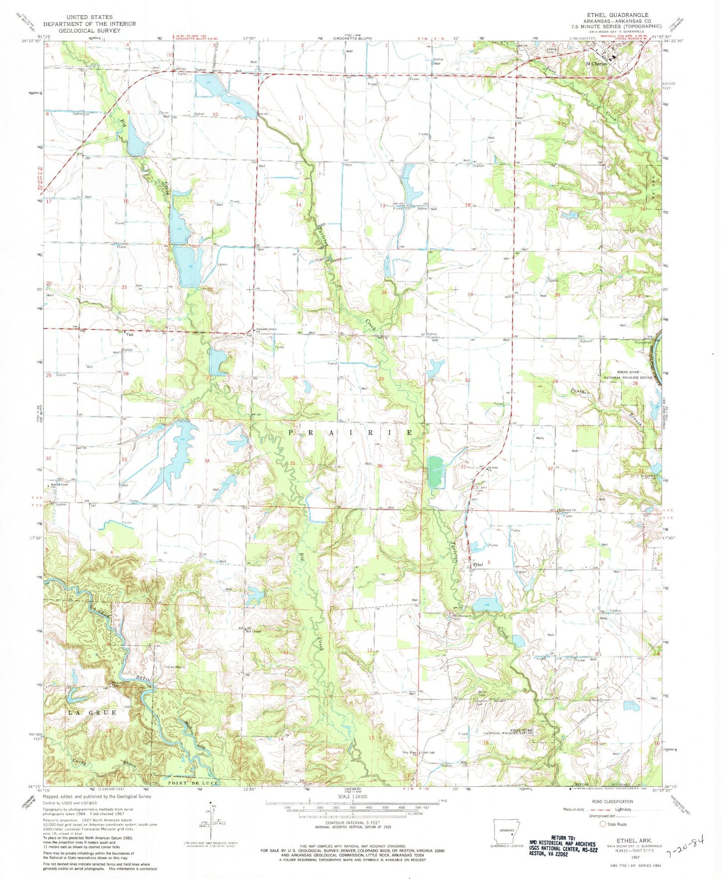
Classic USGS Ethel Arkansas 7.5'x7.5' Topo Map
Couldn't load pickup availability
Historical USGS topographic quad map of Ethel in the state of Arkansas. Map scale may vary for some years, but is generally around 1:24,000. Print size is approximately 24" x 27"
This quadrangle is in the following counties: Arkansas.
The map contains contour lines, roads, rivers, towns, and lakes. Printed on high-quality waterproof paper with UV fade-resistant inks, and shipped rolled.
Contains the following named places: Belleview Church, Bellevue School, Big La Grue Church, Butler Cemetery, Butler Lake, Butler Lake Dam, Butler Lake Number Two, Butler Lake Number Two Dam, Clabe Chapel School, Ethel, Ethel Post Office, Frazier Lake, Frazier Lake Dam, Hall Lake, Hall Lake Dam, Hewitt Cemetery, Hill Chapel, Hill Chapel School, Hobert Reservoir, Hobert Reservoir Dam, Lake Rosebud, Lake Rosebud Dam, Lee Branch, McKewen Cemetery, Mopkins Lake, Mount Pleasant Cemetery, New Hope Church, Oak Flat School, Otis Pond, Otis Pond Dam, Parker School, Pin Point School, Pleasant Grove Church, Pleasant Grove School, Pleasant View School, Prairie View School, Saint Charles, Saint Charles Fire Station, Saint Charles Police Department, Saint John Cemetery, Saint John Church, Town of Saint Charles, Township of Prairie, Van, Van Church, ZIP Code: 72140