MyTopo
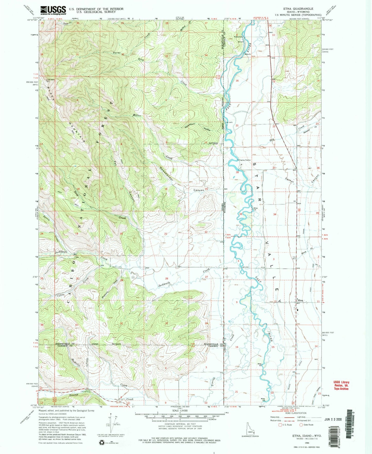
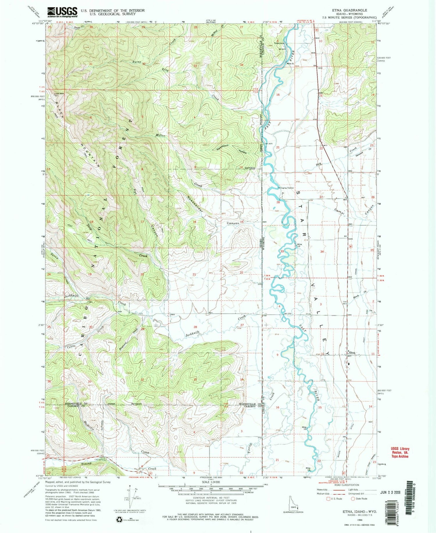
Classic USGS Etna Wyoming 7.5'x7.5' Topo Map
Couldn't load pickup availability
Historical USGS topographic quad map of Etna in the states of Wyoming, Idaho. Map scale may vary for some years, but is generally around 1:24,000. Print size is approximately 24" x 27"
This quadrangle is in the following counties: Bonneville, Caribou, Lincoln.
The map contains contour lines, roads, rivers, towns, and lakes. Printed on high-quality waterproof paper with UV fade-resistant inks, and shipped rolled.
Contains the following named places: Amesville Cemetery, Baker Ditch, Birch Creek, Cabin Creek, Corral Canyon, Deep Creek, Double L Ranch Airport, Dry Creek, Etna, Etna Census Designated Place, Etna Post Office, Freedom Air Ranch Airport, Grouse Creek, Hawthorn Hollow, Jackknife Creek, King Creek, Lee Creek, Metcalf School, Miller Creek, Newswander Canyon, Pat Canyon, Raymond Creek, Squaw Creek, Star Valley, Stewart Creek, Tincup Campground, Tincup Creek