MyTopo
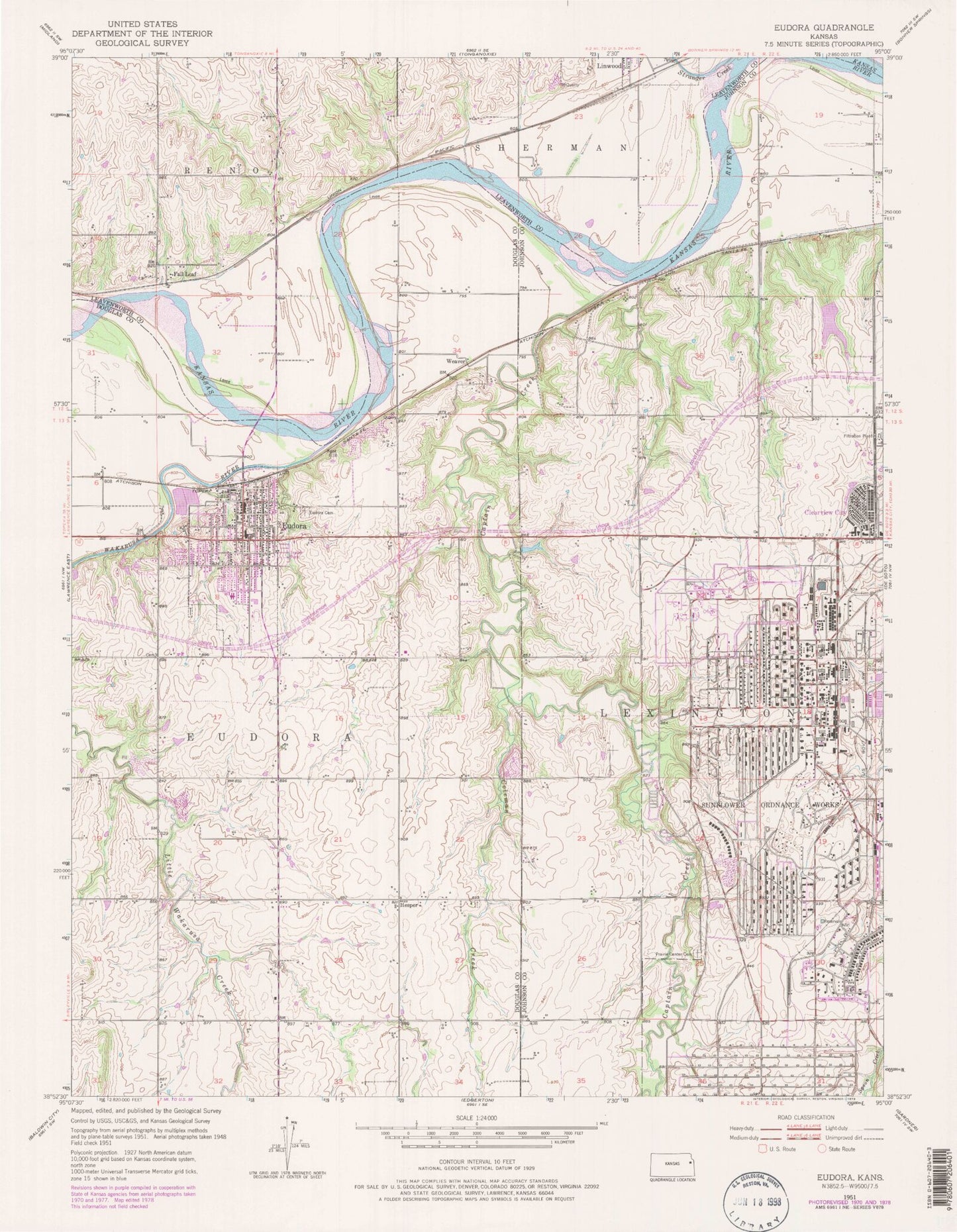
Classic USGS Eudora Kansas 7.5'x7.5' Topo Map
Couldn't load pickup availability
Historical USGS topographic quad map of Eudora in the state of Kansas. Map scale may vary for some years, but is generally around 1:24,000. Print size is approximately 24" x 27"
This quadrangle is in the following counties: Douglas, Johnson, Leavenworth.
The map contains contour lines, roads, rivers, towns, and lakes. Printed on high-quality waterproof paper with UV fade-resistant inks, and shipped rolled.
Contains the following named places: Captain Creek, Cemetery Beni Israel, Church of Christ, City of Eudora, Clearview Baptist Church, Clearview City, Clearview City Independent Baptist Church, Coleman Creek, Delaware Cemetery, DeSoto Water Treatment Plant, Eudora, Eudora City Cemetery, Eudora Community Learning Center School, Eudora Elementary School, Eudora Fire Department, Eudora High School, Eudora Middle School, Eudora Nursing Center, Eudora Police Department, Eudora Post Office, Eudora Public Library, Eudora Riverview Golf Course, Eudora School District Central Office, Eudora Township Fire Department, Eudora United Methodist Church, Eudora Water Treatment Facilty, Fall Leaf, First Southern Baptist Church, Grandview Mobile Home Park, Hesper, Hesper Friends Cemetery, Hesper Friends Church, Holy Family Catholic Church, Holy Family Cemetery, Kent Creek, Nottingham Elementary School, Observation Bluff, Prairie Center, Prairie Center Cemetery, Roberts Lake, Roberts Lake Dam, Saint Pauls United Church of Christ, Stranger Creek, Sunflower Nature Park, Sunflower Park, Sunflower Park Lake, Township of Eudora, Wakarusa River, Weaver, ZIP Codes: 66019, 66025