MyTopo
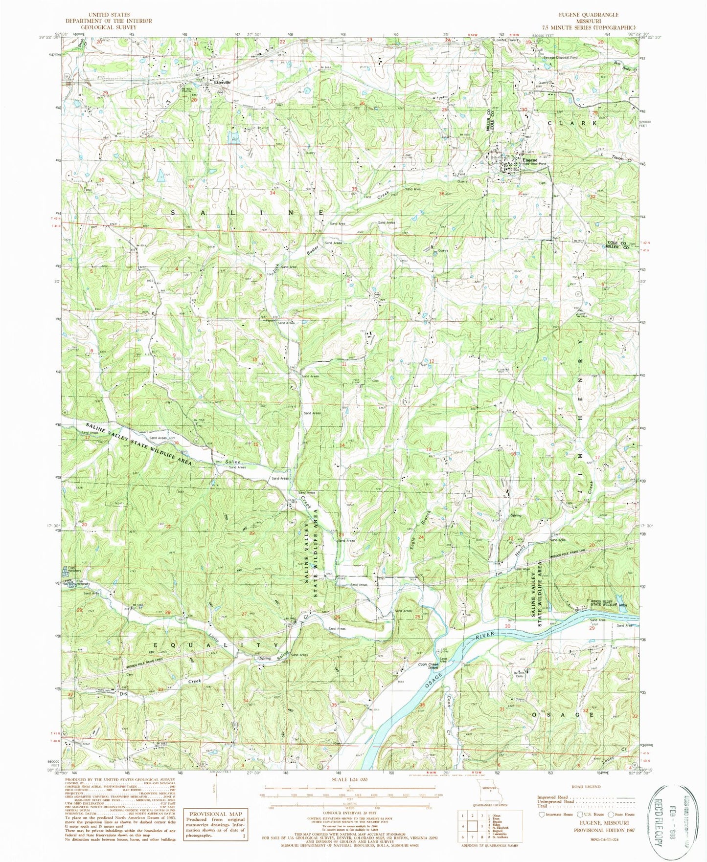
Classic USGS Eugene Missouri 7.5'x7.5' Topo Map
Couldn't load pickup availability
Historical USGS topographic quad map of Eugene in the state of Missouri. Map scale may vary for some years, but is generally around 1:24,000. Print size is approximately 24" x 27"
This quadrangle is in the following counties: Cole, Miller.
The map contains contour lines, roads, rivers, towns, and lakes. Printed on high-quality waterproof paper with UV fade-resistant inks, and shipped rolled.
Contains the following named places: Bittle Dam, Butzer Lake Dam, Central Church, Cole County Fire Protection District Station 5, Coon Creek, Coon Creek Island, Cumpton Branch, Dry Creek, Eagle Branch, Etterville, Eugene, Eugene Census Designated Place, Eugene Elementary School, Eugene High School, Eugene Post Office, Gageville Cemetery, Gageville School, Gleenwood Church, Harbison School, Jack Buster Creek, Jim Henry Creek, Jim Henry School, Kings Bluff State Wildlife Area, Little Saline Creek, Munson Dam, Pleasant Ball School, Rock House, Rush Chapel, Saline Creek, Saline Valley Church, Saline Valley State Wildlife Area, State of Missouri, Thompson Cemetery, Township of Jim Henry, Tuscumbia Fire Department, Waterloo School, Wright School, ZIP Code: 65032


